
VFR – Dead reckoning – Cessna 182 – Munduburra
On 28th January 2020 I commenced my commercial pilot licence training with a cross country flight with instructor Nick. This was intended as an assessment flight to determine what areas I need to improve on in order to pass the CPL test. I’d decided to do the training in the Cessna 182 (VH-ROC) as it’s a bit cheaper to run and there is a greater selection of instructors at the club who are qualified to fly it than MSF. I hadn’t flown in ROC for many months so there was a feeling of déjà vu, especially flying it under the visual flight rules.
I had to plan the flight from a “charter brief” that I received at 8am. The exercise was to fly to Archerfield, pick up some “passengers” and fly out to an airstrip at Lyndley to the north west of Oakey. From there we’d fly to a remote homestead further to the northwest. The exercise included some complications like a request to carry scuba diving tanks (a dangerous goods item) and balancing the take off and landing weight with the fuel quantity allowable and required on each leg. It took me about 3 hours to prepare everything and discuss the outcome of my calculations and determinations with Nick.
After a quick lunch the flight started with the short hop from Redcliffe to Archerfield for a full stop landing. Of course there was no one to pick up but we taxied to the terminal building and shut down to simulate the scenario in the charter brief. After about 5 minutes we started up again, taxied out to RWY 10L and took off for Lyndley Homestead out near the Bunya Mountains. The task was to find it using “dead reckoning” that is without using GPS or any other gadgets, just a map, compass and watch. After I made my “ready” call at the holding point for RWY10L Nick said something to the Tower controller about a “code 1”. I soon discovered that it was code from Nick to the Tower that he was going to do a simulated engine failure at about 300ft. So he pulled the throttle and I had to react. No big deal – nose down and glide then smoothly add power and continue the climb.
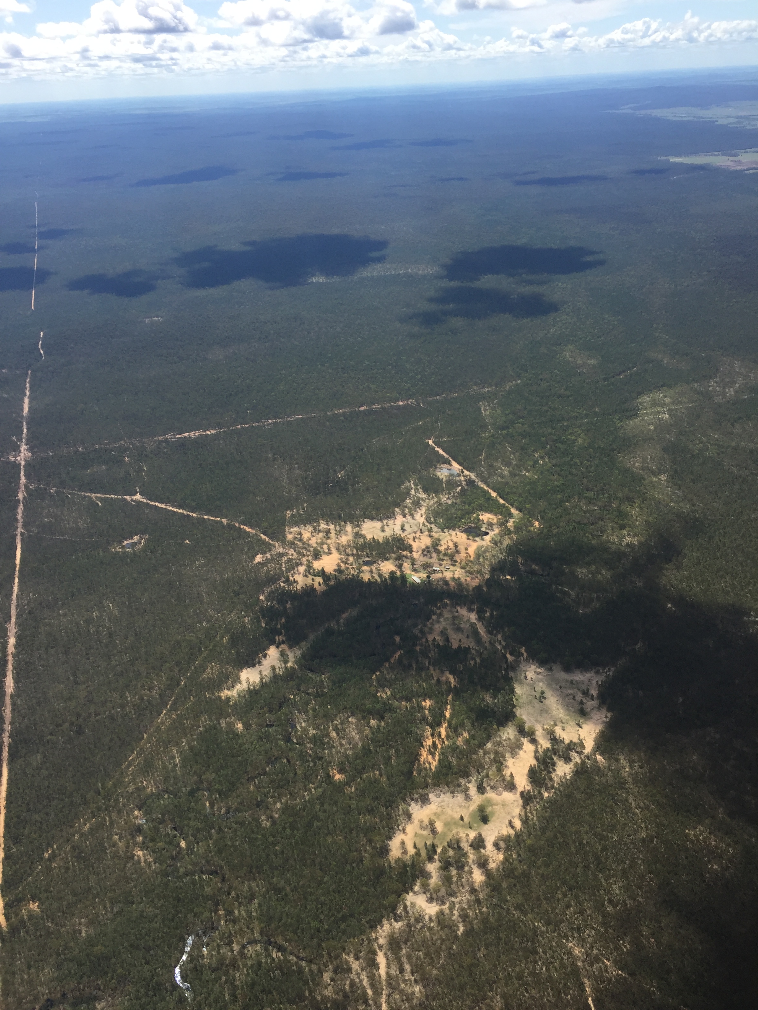
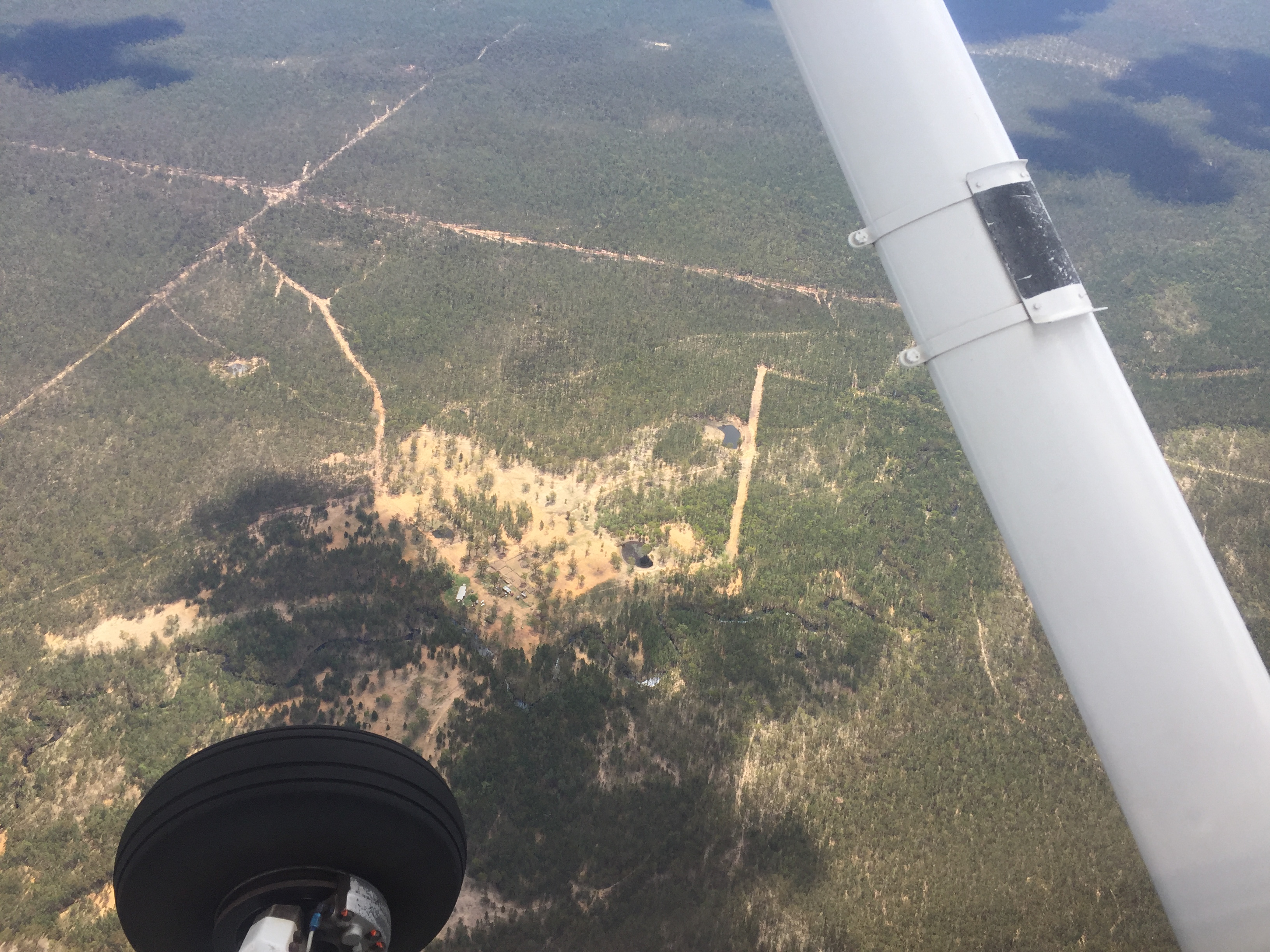
We departed west and were cleared through Amberley and Oakey airspace and eventually found Lyndley homestead. It was easily recognisable thanks to a look on Google Earth beforehand and a mud map of its main features.
And we were right above it at the right time. After a precautionary overfly to check out the strip conditions we decided not to land and departed for our next waypoint. This time it was Hippong, a house with a small dam in the middle of the bush further west. Again no aids allowed, just compass, map, clock. Found that one too.
Then followed an “unplanned” diversion to Mundaburra. This is a common practice in these cross country training flights. You think you’re flying to one place and then mid way through the flight details change. I did a few orbits overhead Hippong while I worked out the new heading and estimated time required, and gave ATC a heads up of our change of plans, then headed off.
Arriving at Munduburra Nick asked for a flapless landing which worked out just fine.

After a quick break to submit a flight plan back to Redcliffe we were off, I donned “the hood” and soon was doing a “lost procedure”.
We flew about 10 minutes to the north east and then I had to take the hood off and work out from the direction we’d flown and the map where we were. I had to identify three objects on the ground that confirmed our location.
From there it was back to Redcliffe via Kilroy where we had to negotiate around some weather, utilising the Kilcoy Gap to our advantage. After 4.5 hours flying time we were back home again. Quite a day.
