Practising instrument approaches

IFR – RNAV – Maryborough – Bundaberg – Hervey Bay – QADCAPS

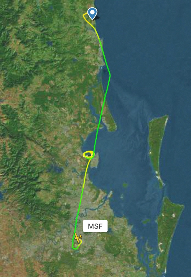
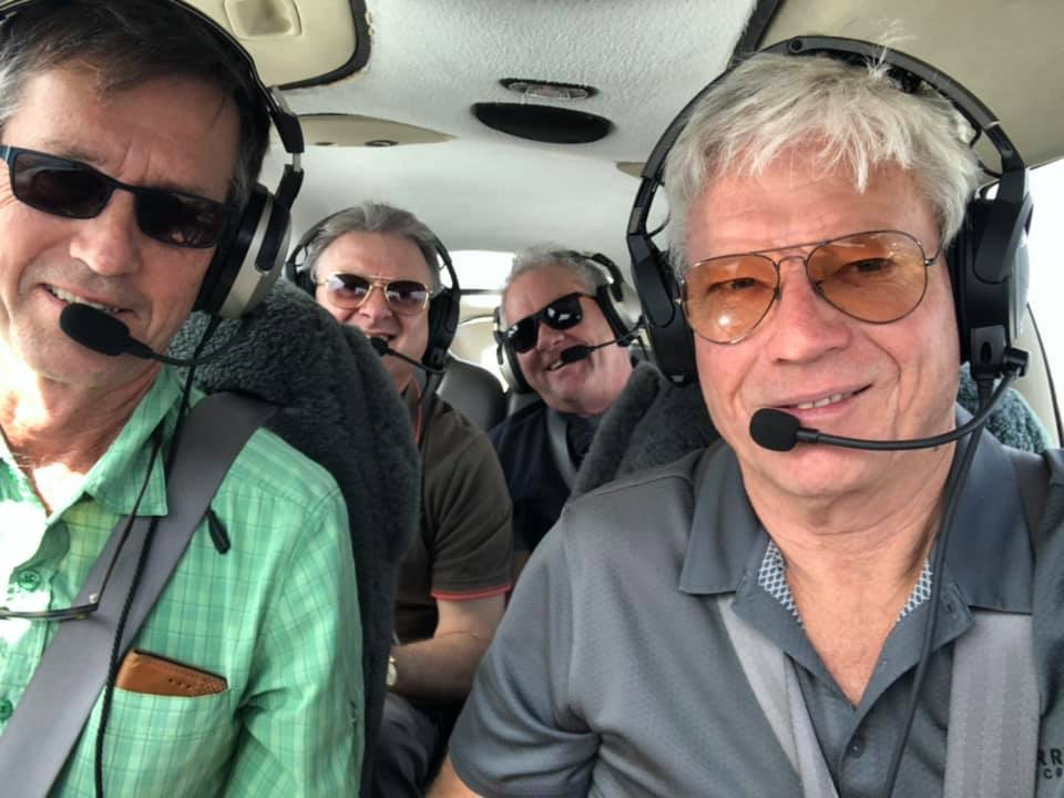
It was December 2020. I’d decided it was time to brush up on my instrument approaches. Private instrument rated pilots have to practise them at least once every 6 months to stay current but it’s best to do them more often. I had a chat to Mike, the owner of MSF, and we decided Friday 4th December looked like a good day to fly. Mostly clear, not too hot, and only the chance of a thunderstorm in the evening, well after we’d be back home. It was a good excuse to go flying and practice makes perfect as they say, so off we went.

I am instrument rated on RNAVs only. These are aRea NAVigation approaches that use the GPS system to direct you through a series of waypoint and then specify at what altitude you should be to stay well above any “obstacles”. They allow you to fly into airports even when there is low cloud. The cloud base can be as low as 500ft above ground level. This gives you much great freedom to land and fly even when the weather is not good. Not that I really want to fly in bad weather as you can’t see much anyway, but sometimes on longer trip you have to deal with bad weather so it’s a very useful skill to have and to retain. There are plenty of other ratings you can obtain such as ILS (for large airports with jets), NDBs (almost all removed) and VORs (slowly being removed) but the GPS (or more correctly GNSS) RNAVs are by far the most common now and most useful. They are relatively easy to set up and maintain, having no ground based hardware. It’s all based on satellite technology. All good as long as the satellites remain functional.

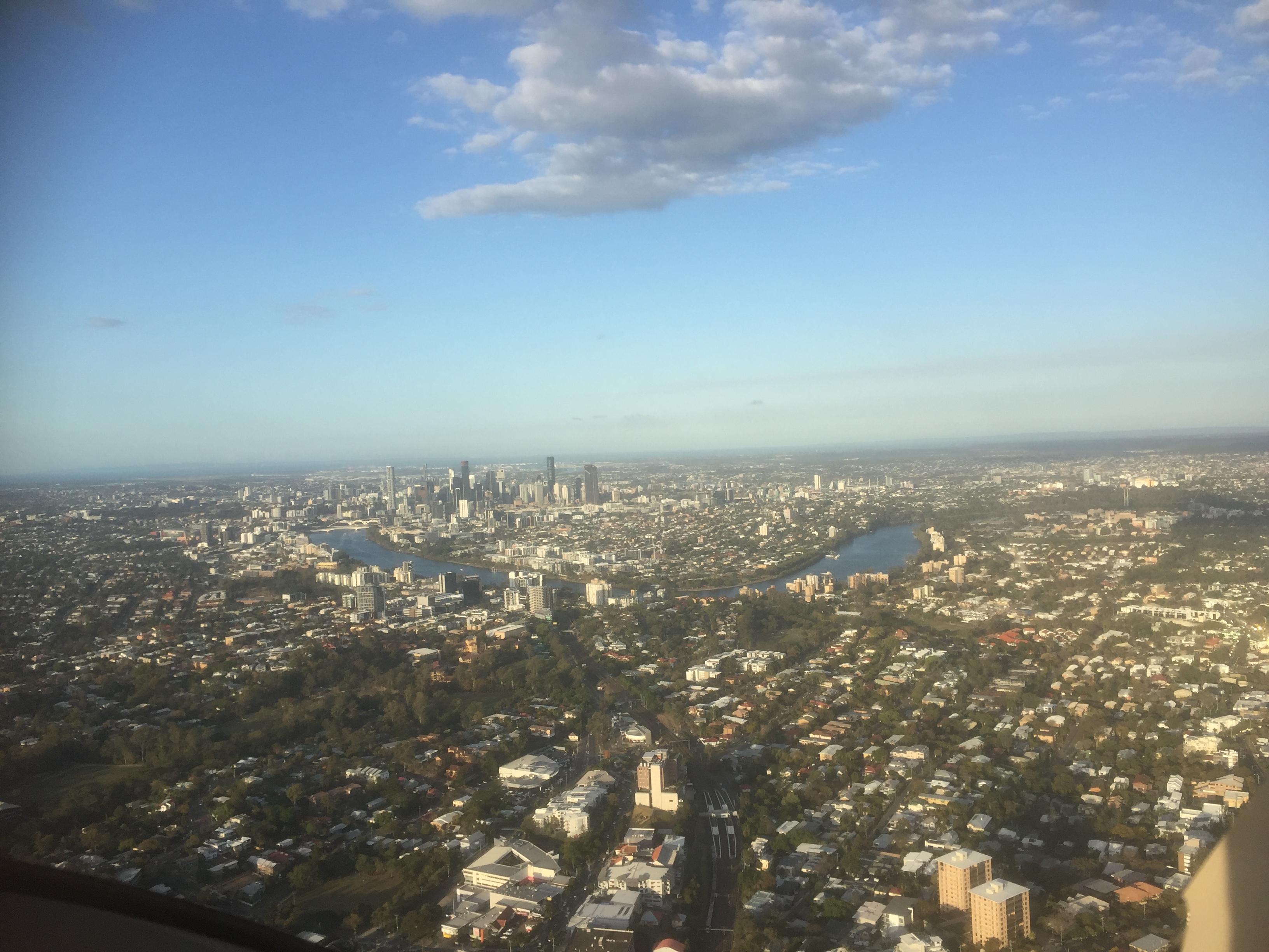
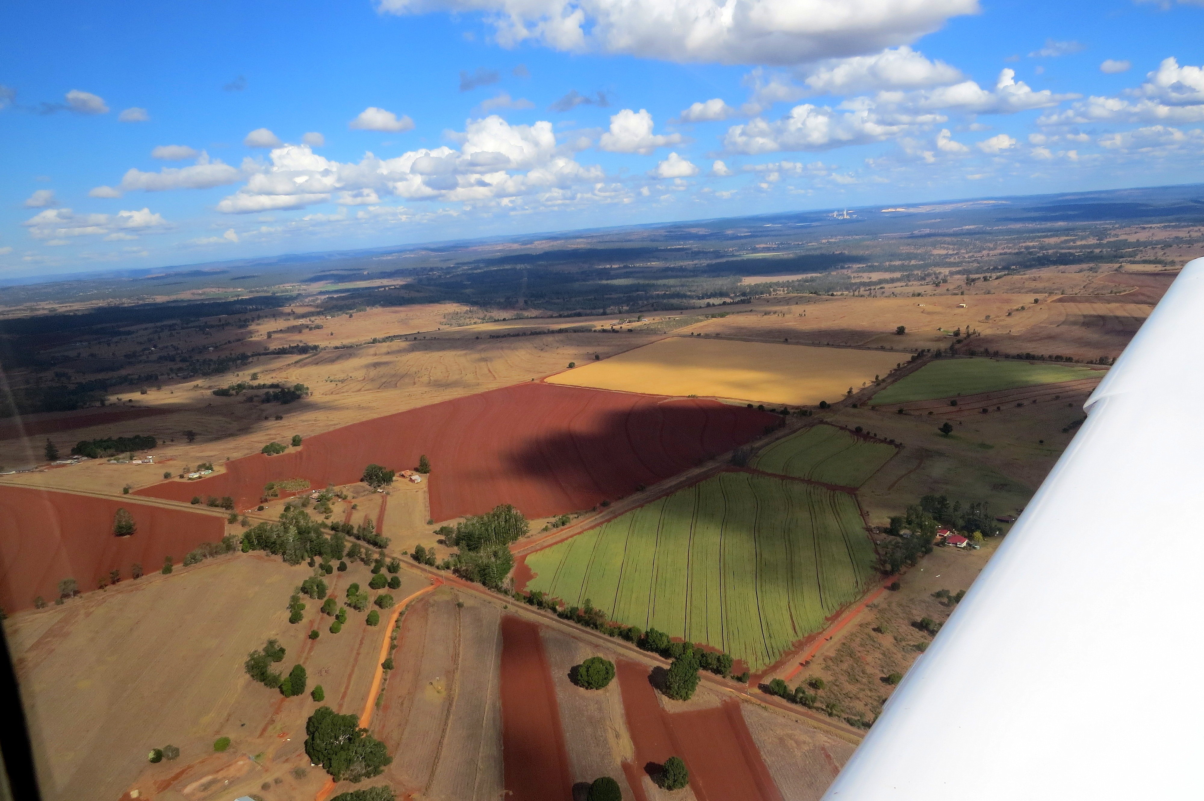
I submitted my IFR flight plan and we flew out of Redcliffe, climbing to the northwest and obtaining a clearance from Brisbane Departures to climb into controlled airspace. As we settled into the flight to Maryborough (chosen as our first destination as I expected the airport to be quiet) I donned the “hood” while Mike acted as safety pilot, so I could simulate flying in IMC (cloud) and record some instrument time in my log book.

There was no traffic around so all was good. We were on our own. At 25 miles from Maryborough I obtained traffic from Brisbane Centre and tracked for waypoint SB, briefing the RNAV on RWY35 using the QADCAPS acronym as we went.

Q: QNH was obtained from the AWIS

A: Aids – The GPS showed that RAIM was available

D: DG and Compass were aligned

C: A review of the RNAV chart showed entry level as 3100ft, top of descent after SI and 4.2 miles from SF, minimum descent altitude 600ft. missed approach straight ahead to SH with climb to 3100ft and turn left onto track 163M

A: Audio – the correct CTAF and area frequencies were selected

P: PAX and PAL – Mike was OK to continue acting as safety pilot and no runway lights were required

S: Speed was slowed to 120KIAS for entry into the approach

I switched to OBS, did a sector 3 entry, turning left onto heading of 163M for 60 seconds then left again onto 343M, flicked off the OBS, passed through SB, on to SI, made a 10 mile call on the CTAF, slowed to 30% power, extended 50% flap and at 4.2 miles to SF started the descent. Mike assured me all was good as we passed SF and at 3 miles from SM I made the 3 mile call on the CTAF. Still no sign of any other traffic in the circuit. We could continue with the straight in approach. If there had been other traffic around we’d have had to break off and join the circuit as normal. Descending to 600ft I held that altitude until we passed over SM and then put on full power, climbed and carried out a missed approach.

We climbed out to SH and turned west. Levelling out at 2000ft AMSL I turned right turn and headed for waypoint ND on the RNAV on RWY17.

By this time it was starting to get a bit busy on the radio. My plan of doing a straight in approach and full stop was foiled partly by a bit of a tailwind blowing from the north and water bombers arriving from Fraser Island to be refilled with water. So, after turning at waypoint NI and descending to NF I removed the hood and joined downwind for RWY35. On the ground water bombers were coming and going and the local fire brigade was coordinating the refilling of them with water. They were obviously very busy dousing the flames of a bushfire on Fraser.

After a short break Mike climbed into the left hand seat and flew us to Bundaberg.

Departing Maryborough

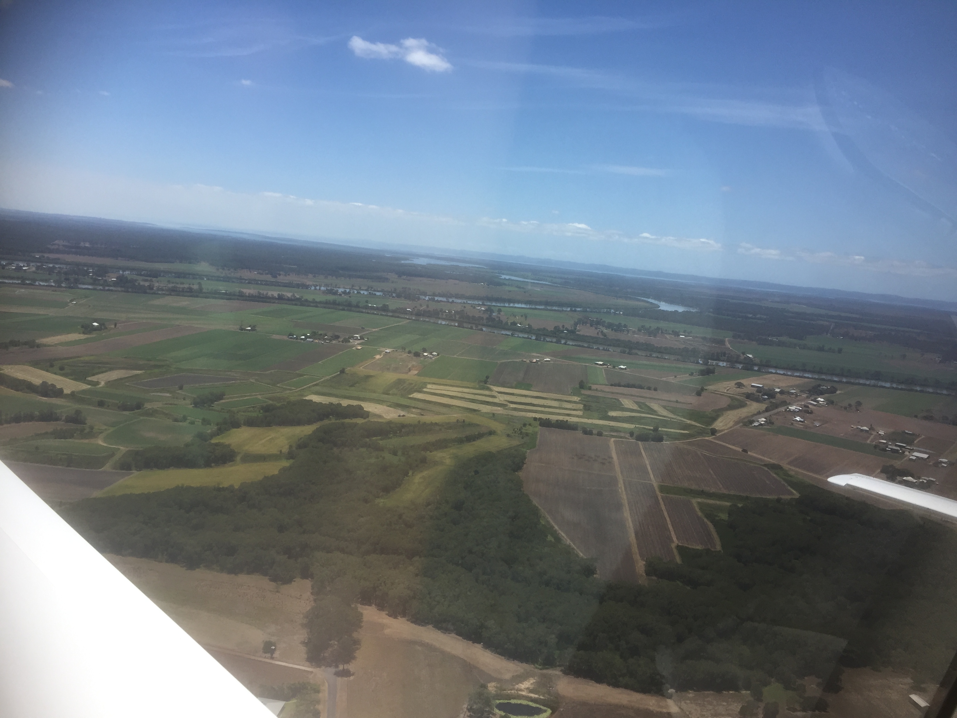
We passed overhead the airport and he tracked for waypoint NC, doing a sector 2 entry (teardrop) for the RNAV on RWY14.

Bundaberg

As we started to descend the radio became active and the traffic situation was busy again, with a large Canadian water bomber arriving from the south. Mike broke off the straight in approach and joined downwind for RWY 32.

Short final at Bundaberg

On landing we topped up with some fuel and tried to buy a coffee but the terminal was deserted. COVID is still a latent threat so there’s not many flights in or out of Bundaberg.

Canadian water bomber

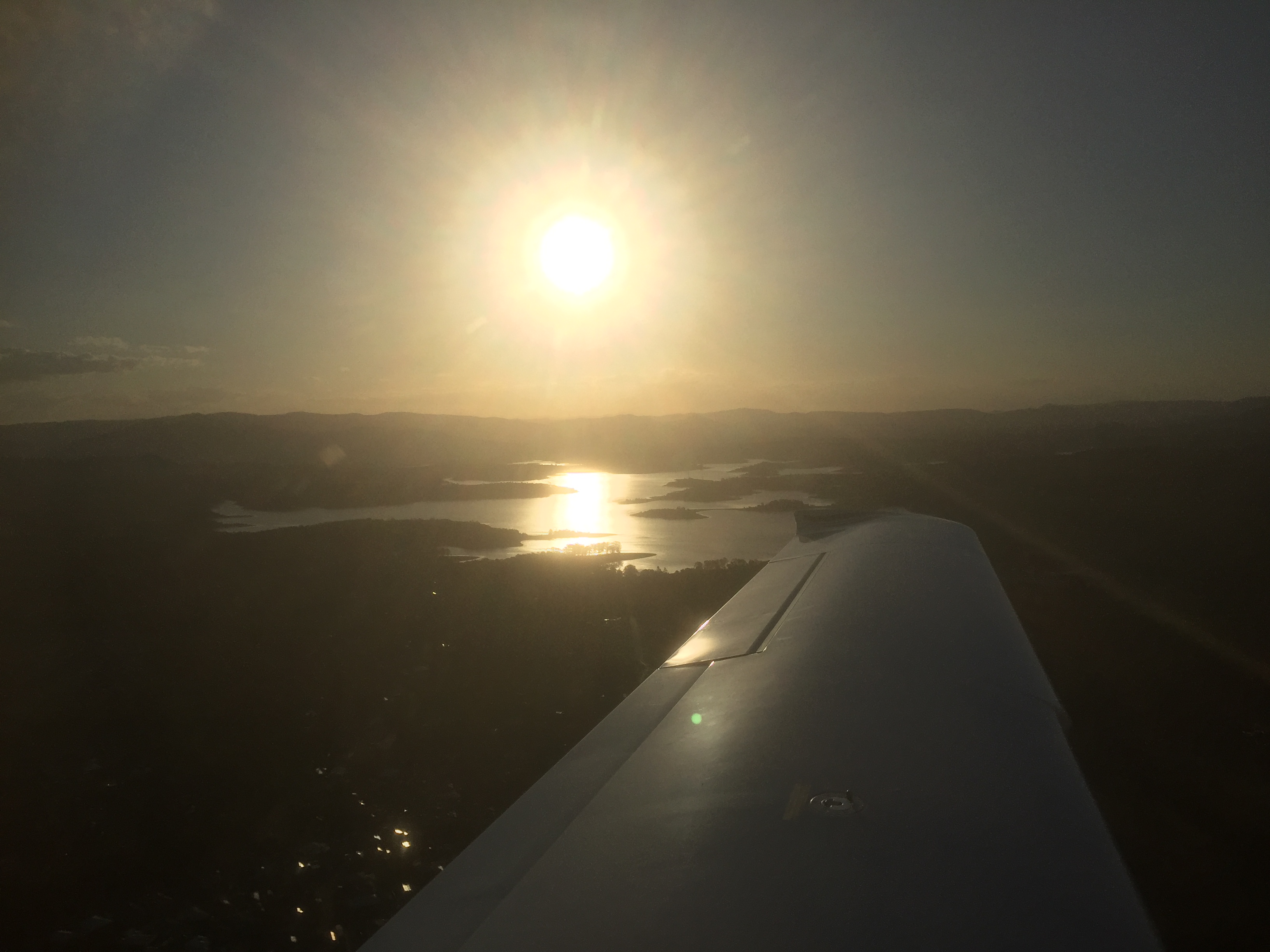
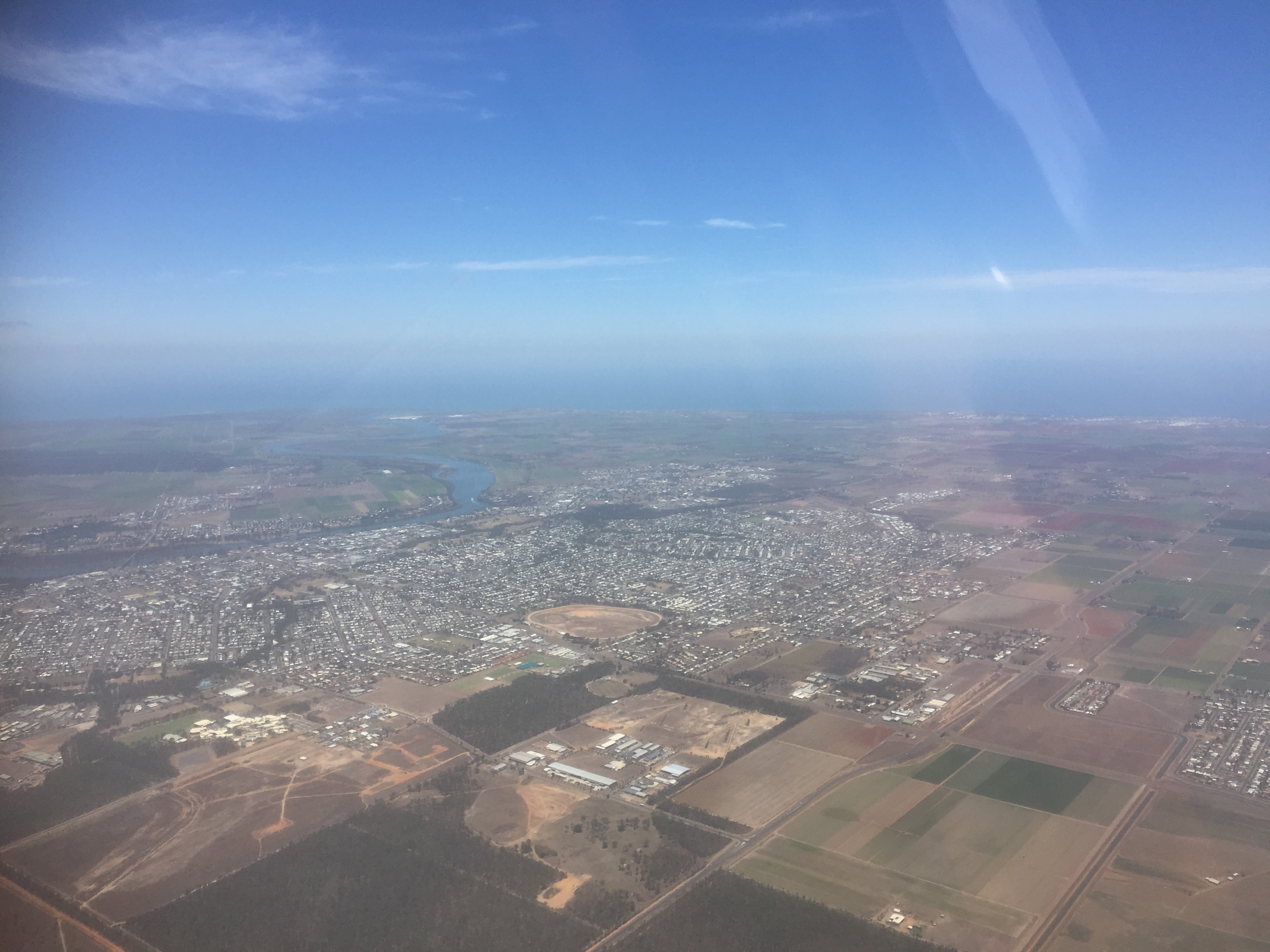
So it was off to Hervey Bay at 3000ft where Mike could practise another RNAV and we could buy a coffee. This time it was via waypoint WE and once again there was traffic arriving from the south. He broke off the straight in approach again and we joined downwind and landed from the south. And of course there were more water bombers. The terminal was deserted there too so we walked 500m up the road to the IGA for some lunch. Back in the plane Mike climbed to 9000ft for the return trip to Redcliffe, arriving in time for the monthly club barbecue.
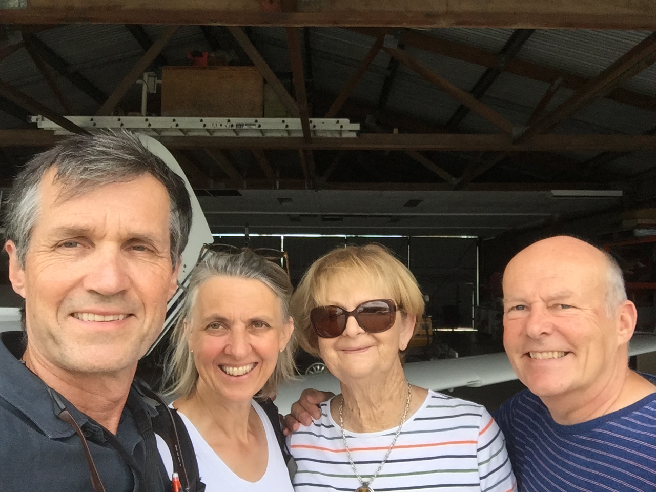
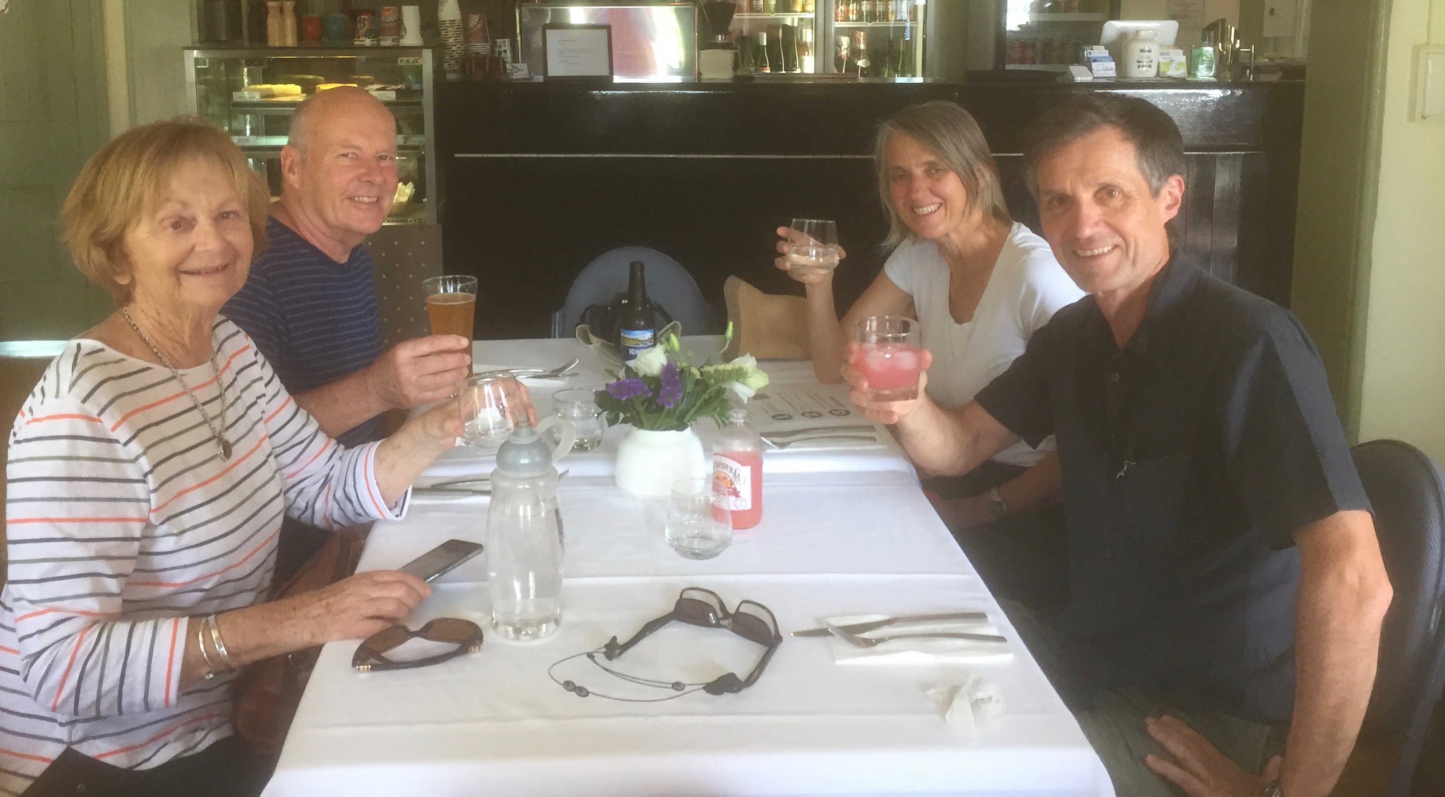
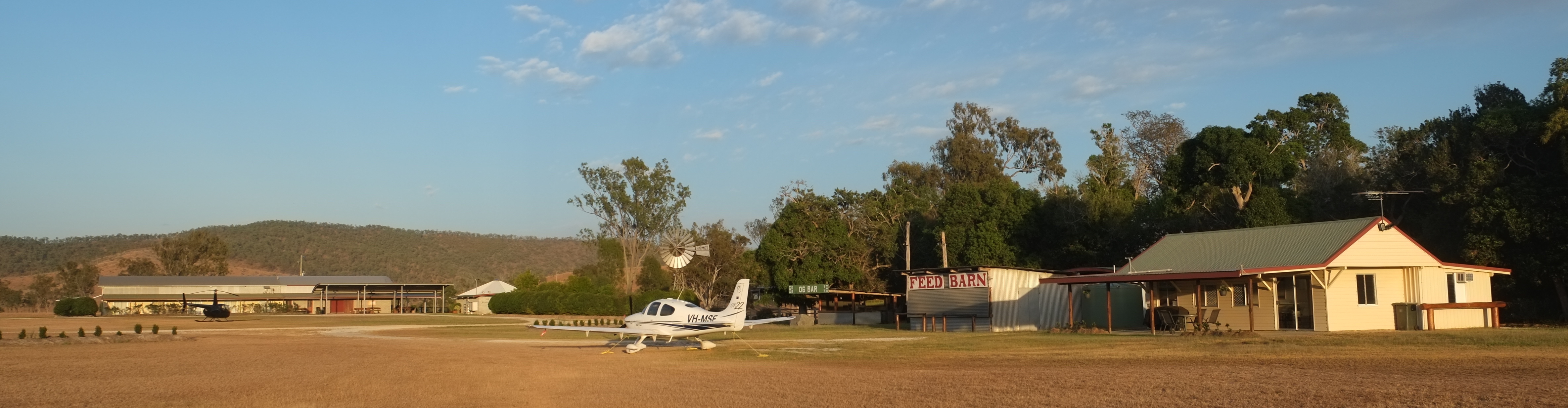
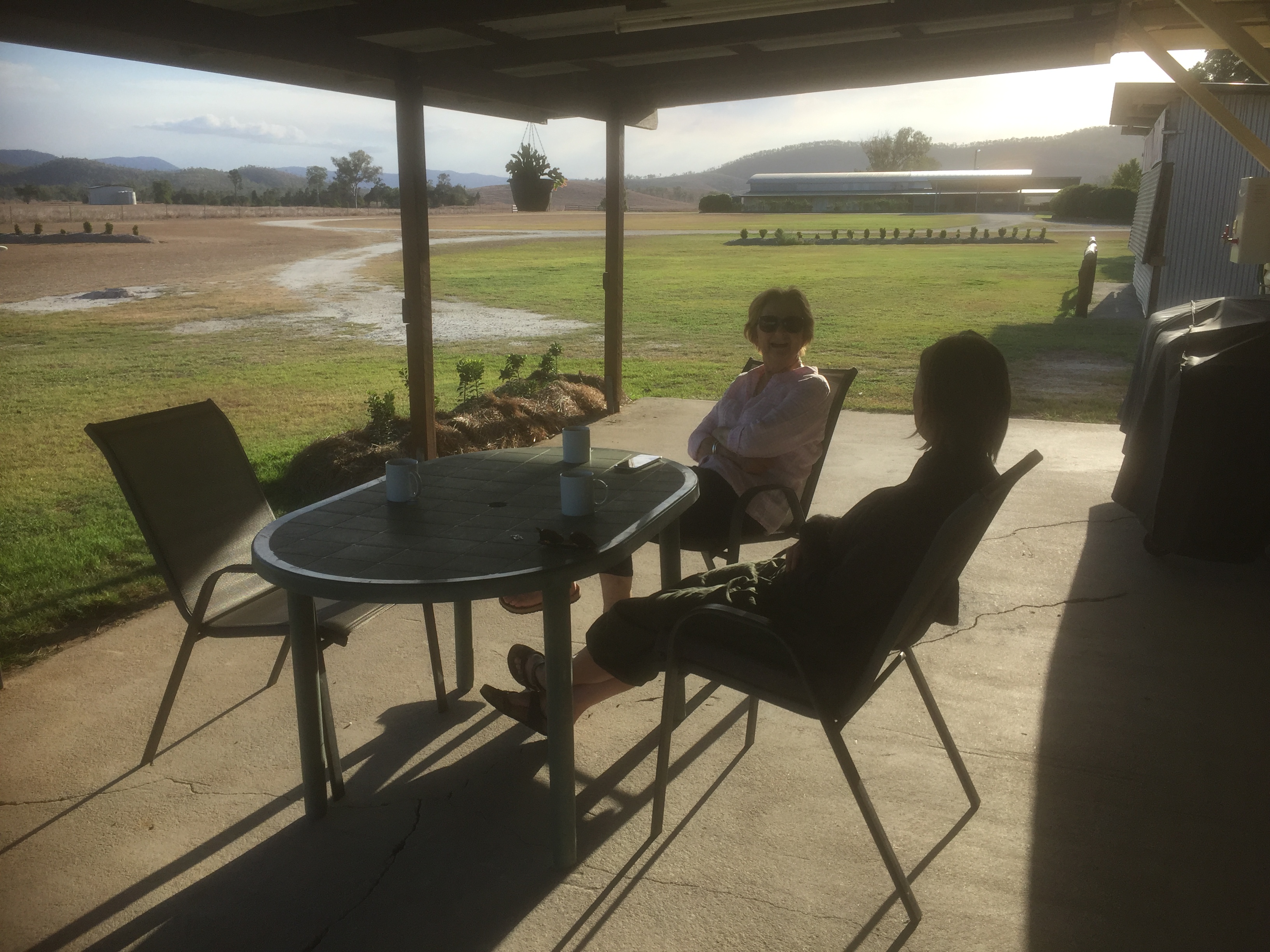
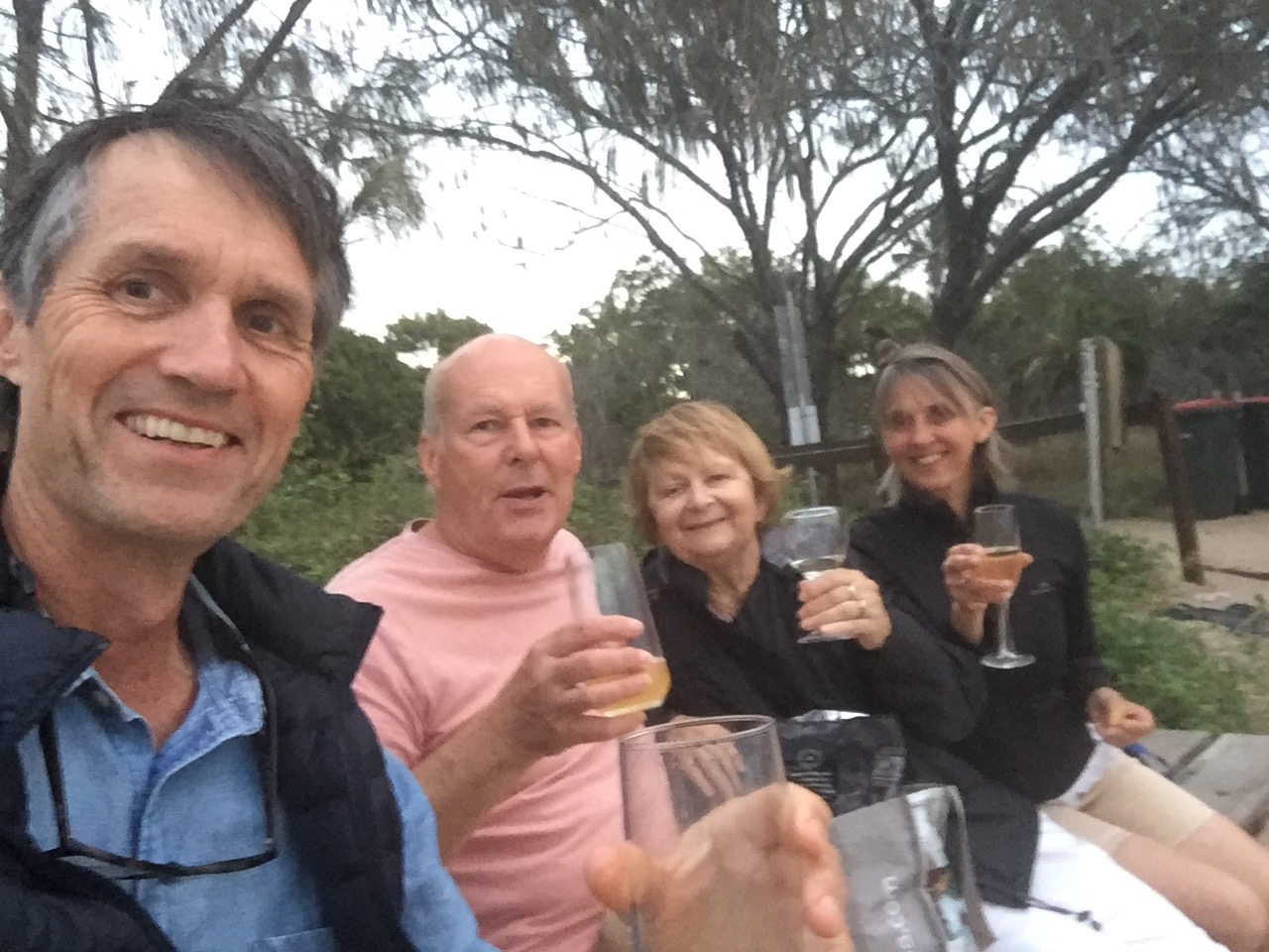


Back at the club

Cattle station and beaches

The Old Station – Agnes Water – Town of 1770

In October 2020 we flew back to a couple of our favourite spots – The Old Station, west of Gladstone and Agnes Water/Town of 1770, on the coast north of Bundaberg. This time we took Ann and Harpur with us to share the delights of these two wonderful spots with them. Day 1 took us up to central Queensland, starting with a flight along the coast past Noosa and Double Island Point then across to Maryborough for lunch.

The Portside Cafe came recommended and was great. Bit of Mexican influence.

We had a walk along the river after lunch admiring the old buildings and noting how high the Mary River has flooded over the years.

Then it was back to the airport and we took off for the Old Station.

The cattle station has a 2km long grass airstrip but there’s always the possibility of livestock so we had a good look as we overflew it to see if we could spot any. It looked clear so we turned downwind and then base and then final. Suddenly a herd of cattle appeared from nowhere and started sauntering across the runway, about 500m from the threshold. So it was time to practise a go around. I applied full power, and we climbed back out to 1000ft for a second circuit. By the time we were on final for the second attempt the herd had cleared off into the trees so it was all clear and we landed smoothly. Ron and Helen Creed met us and we moved into our accommodation directly next to the aircraft, meeting Ron and Helen for a cuppa and some home made muffins shortly after.

You can park your plane right next to the accommodation

While we were sitting there a helicopter with a second group of four visitors arrived from Archerfield.

Dinner was in the big hangar space they use for weddings, conferences, tour groups and other functions. Lots of aviation stories were shared as we enjoyed Helen’s cooking and a selection of wines.

Suitably nourished we walked back to our lodgings under the starry starry night sky. It really is a great spot.

The next day it was time to explore property. The Creed family have lived there for 5 generations. Ron and Helen, along with Ron’s brother Andrew and his wife Nancy now own about 42,000 acres stretching out west to the Great Dividing Range. They currently have about 3,000 cattle and are aiming to grow the stock numbers to 5,500 over the next few years.

Nancy drove us to their house, at Langmorn Station about 5 km west of Old Station, for a look around their historical homestead and to meet some of the pups, guinea fowl and kangaroos. Langmorn homestead is like an antique shop. The wooden rocking horses were made by one of the family members.

After a cup of tea and some home made cake Nancy took us for a long drive around the property so she could check on the cattle and the water levels in the dams. Most of the cattle are Brahman, favoured as they’re resistant to ticks, but some of the land is agisted to Ron’s Uncle John who has Brahman crossed with Hereford.

Arriving back at the Old Station it was time for a late lunch prepared by Helen who is best described as a human dynamo.

There was time to relax on the porch in the afternoon and then go for a walk to enjoy the views of the Great Dividing Range.

At dinner we were joined by Kiwi, who also lives on the property but works as a aviation mechanic in Gladstone. He owns a Cessna 185 and a Cessna 150 and does aerial photography as a sideline. Helen cooked up another great meal. Two days later she had to cook for 280 guests as a car rally was passing through and the participants would camp there overnight. The day after that she had a wedding for about 70 people starting at 3pm and her son’s school graduation in the morning. It was a busy week. Their hospitality business was closed for weddings and other events during the height of Covid so people were starting to book extra slots, including during the week, to catch up.

One of Helen’s breakfast feasts started the next day and was followed by us boarding our 9am flight to Agnes Water.

First though was a recce over the Creed estates. Taking off on RWY 06 we turned and climbed out to the west over Old Station then flew at 3000 ft over Langmorn, Uncle John’s and Priory Park, their latest addition, then turned east and passed a marble quarry and Old Station at 3500ft.

From there it was south of Gladstone to Boyne Island with its red mud dams and aluminium smelter. The red mud is the tailings from the alumina refinery at Gladstone.

Following the coast we passed Turkey Creek and soon descended into Agnes Water/Town of 1770.

After a 500ft overfly to check for kangaroos we descended past the Town of 1770 to the grass runway and pulled into the parking area. With the plane tied down, a quick ride in the Agnes Water shuttle bus brought us to Agnes Central where the Mango Tree Motel’s apartment was ready and waiting.

Visit Mango Tree Motel

It was high time for a coffee at the Holidays Cafe with a marvellous view over the main beach area. The cafe is part of the caravan park but, unlike many such establishments attached to caravan parks, is really excellent.

Holidays Cafe

A swim followed and then a long walk along the beach.

The day pretty much just disappeared after that…until we had predinner drinks (BYO from the local bottle-o) with a view over the water.

The evening meal was enjoyed at Codies Place, directly downstairs from our apartment. Casual and a great view to the beachside park.

https://www.codiesplace.com

The next day was a chance to explore Agnes Water and 1770 including a visit to the museum and a ride on the LARC (Lighter Amphibian Replenish Cargo). We splashed into the water of the bay and travelled up the coast a bit, then emerged onto a sandbank where the Dutch lady driver explained some of the natural wonders to us. It was then time for a “splashdown” where she drove at full speed off the edge of the sandbank creating a wave that sort of splashed us all and cooled us all down for the return trip to the harbour. The LARC is a bit of a lark and worth a trip out on if you’re in town.

http://www.1770larctours.com.au

1770 harbour from the sandbank

That was followed by a walk along the beach past downtown 1770 and on through the Sir Joseph Banks Conservation Park up to Round Hill Head. By the time we returned is was well and truly beer o’clock and a drink was enjoyed on the deck of the 1770 Hotel as the sun sank in the west over Bustard Bay. There’s not that many west facing beaches in Queensland and 1770 has one of them so you can enjoy the sunset over the water.

Captain Cook and Joseph Banks came ashore at 1770 on May 24 1770, hence the name of the settlement. They shot a bustard and had it for dinner that night. Cook wrote in his journal that “it was the finest bird we had eaten since leaving England”. So the obvious question is why isn’t there a bustard business promoting native poultry here these days?

The following day was a chance to relax at Agnes Water, including morning swims. Harpur and I tried out a couple of Piaggio scooters around town. One was a 50cc with top speed of 60km/h and the other an MP3 250 three wheeler that went faster. I’d wanted to try one of those for a while and it was good. Stef, the owner of Kanga Scooter Hire was very efficient and friendly.

http://kangascooterhire.com.au

We also identified some cabins next to the cafe where we’ll try to stay on our next visit. They are directly on the beach with views to the beach and operated by the caravan park.

https://www.agneswaterbeach.com.au/accommodation/apartments/

The next morning it was time to head home. The shuttle bus dropped us off at the airstrip where we met Les “Woody” Woodall, the airstrip manager. After a bit of a chat about plane crashes and the wonders of bureaucracy we headed off, rolling down RWY32 and practising a soft field takeoff then climbing out past 1770. Turning around the end of Round Hill Head we followed the coast to Bundy for refuelling.

Lack of operating cafe facilities at the terminal meant we were soon up in the air once more heading for the coast.

It was a spectacular panorama under clear blue skies as we passed Woodgate, Burrum Heads, and on to Hervey Bay then crossed to Fraser Island.

Woodgate

Lake McKenzie glistened clear blue and at Eurong we started tracking along the beach, passing Inskip Point, Rainbow Beach and Double Island Point, a giant car park full of four wheel drives. Soon we were being waved through Sunshine Coast controlled airspace where we had to descend from 2500ft to 1500 ft to avoid skydivers at Currimundi (not sure how being 1000ft lower avoided a conflict) and on around Bribie to Redcliffe. Another smooth landing capped off a great trip.

SIDS and Deps

Instrument departures – IFR – Archerfield – Redcliffe – Sunshine Coast

On 14th September 2020 I passed a test for another instrument endorsement on my private pilot licence. This one was for “SIDS” and “Deps”. It allows you to depart from airports with low cloud and/or visibility and climb through it to safe levels where you are well clear of “obstacles” such as mountains. A SID is a Standard Instrument Departure, a specially designed and approved procedure that allows you to use the aircraft’s GPS to fly via a particular set of waypoints and climb safely in “instrument meteorological conditions” (IMC) to a height that is considered safe. It’s what most of the large aircraft fly on departure. It doesn’t have to be IMC though. You can fly a SID in clear blue skies but it gives you the option to take off even if the weather is such that you don’t have Visual Meteorological Conditions (VMC). A Dep on the other hand is useful when you’re departing from a small airport with no SID, like Redcliffe. You orbit overhead the aerodrome while climbing (potentially in IMC or at night) remaining within a couple of miles of an aerodrome (within the “circling area”) until you reach a safe altitude. You can then head off in your desired direction without risking flying into an “obstacle”.

The cloud was simulated for the test as it was a blue sky day. Adam Starr from Starr Aviation was my testing officer and I used MSF for the flight. First I had to fly the plane from Redcliffe to Archerfield to meet up with Adam. This 10 minute flight brought me over The Gap and Upper Kedron.

Upper Kedron (foreground) and The Gap (background)

He’d brought along a dreaded “hood” for me to wear after takeoff so I missed out on seeing most of the scenery during the test. The IFR flight starting with a SID out of Archerfield, donning the hood as we passed through 300ft above ground level, a flight over Brisbane CBD at 5000ft and a full stop landing at Redcliffe. I was allowed to remove the hood as we descended into the circuit. I then did a DEP out of Redcliffe, again donning the hood at 300ft above ground level with orbiting climb to 3000ft before tracking to the Sunshine Coast Airport for another full stop landing.

After a short break we took off again via another SID from the new runway 13. Breaking off from the SID at about 2000ft we turned and headed for Archerfield at 6000ft. I wasn’t permitted to use the autopilot for the test. It was all hand flown. Good experience. Landing at Archerfield Adam climbed out and congratulated me on passing the tests. I taxied back out to the runway, took off and flew back to Redcliffe past the Brisbane CBD and Lake Samsonvale as the sun sank in the west.

Watts for breakfast and Biggenden for lunch

Watts Bridge is a small airstrip in the Brisbane Valley near Esk. It’s home to a number of aerobatics enthusiasts and has hosted airshows from time to time. It’s also well known for its monthly “Watts for Breakfast?” flyins during normal (non-Covid) times. On 13th September 2020 they had the first one for a while. The Redcliffe aero club had organised a flyaway to Biggenden for lunch the same day. It’s only about 40 minutes by air from Redcliffe to Biggenden so it seemed a good idea to head to Watts for breakfast first and then head off to Biggenden for lunch after that so that’s what we did. Mike and I were joined by Brad Green and Brett Silvester in MSF and just after 8am we headed off over the hills from Redcliffe on the 14 minute flight to Watts Bridge. Given it’s such a short distance and we had blue skies over Redcliffe Mike decided to fly VFR and as we departed there was a great view of Redcliffe and Scarborough.

As we passed over Dayboro however some clouds gathered over the ranges and as a result we had to dodge around some of them on the way. Neither Mike nor I had ever flown into Watts Bridge before so I had a quick fly on the home simulator the day before to see what the terrain is like leading into the airfield. It helped us get our bearings. We flew over the northern end of Lake Wivenhoe and were soon overhead the Brisbane River and joining downwind.

Approximately 40 aircraft turned up, including a Spitfire that gave an awesome performance for everyone.

After enjoying the entertainment we took off and overflew the airfield.

Watts Bridge airfield with upper reaches of the Brisbane River in the background

Climbing out the course was set for Biggenden where we caught up with the rest of the group and walked into town for lunch at one of the pubs.

After a nice steak it was a 10 minute walk back to aircraft.

I flew the homeward leg. We climbed aboard and were soon soaring over the hills. A few clouds had gathered and I tried to climb above them, but eventually gave up and descended below them again.

The clouds had largely dissipated by the time we were approaching Kingaroy, where we had to land to top up the fuel. Soon we were soaring towards Redcliffe and celebrating another good day out with a few drinks at the club bar.

Approaching Kingaroy