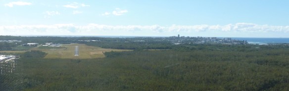
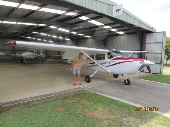
North Stradbroke Island (or “Straddie” to the locals) is located off the coast from Brisbane and is a bit of a local secret as a place to escape to for old style beach holidays. The largest town, Dunwich, has a small aerodrome with a grass and gravel strip. The local aeroclub likes to attract air tourists with a breakfast “fly in” held on the third Saturday morning of each month. The Redcliffe Aeroclub encourages members to take part in these breakfasts, especially newbies like I was in October 2015, to experience the flight over Moreton Bay and the exercise of landing and taking off from an unsealed strip with its own set of challenges. The strip is 250ft above sea level and nestled between some hills. The runway runs almost north south (15/33) and it’s common to have a sea breeze from the east that can cause some cross wind challenges for landing. The hills and vegetation can also cause wind shear, adding to the difficulties. So it’s a good opportunity to try out some skills not too far from home and with support from others. I elected to take one of the 182s (VH-ROC) and also one of the instructors from Redcliffe to provide some additional real time coaching on the approach, landing and take off. I took my son Tim too, so that he could experience the wonders of a morning flight across Moreton Bay to breakfast.
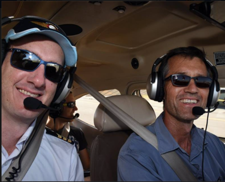
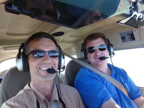
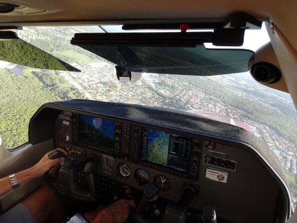
With Jarrad and Tim enroute to Straddie
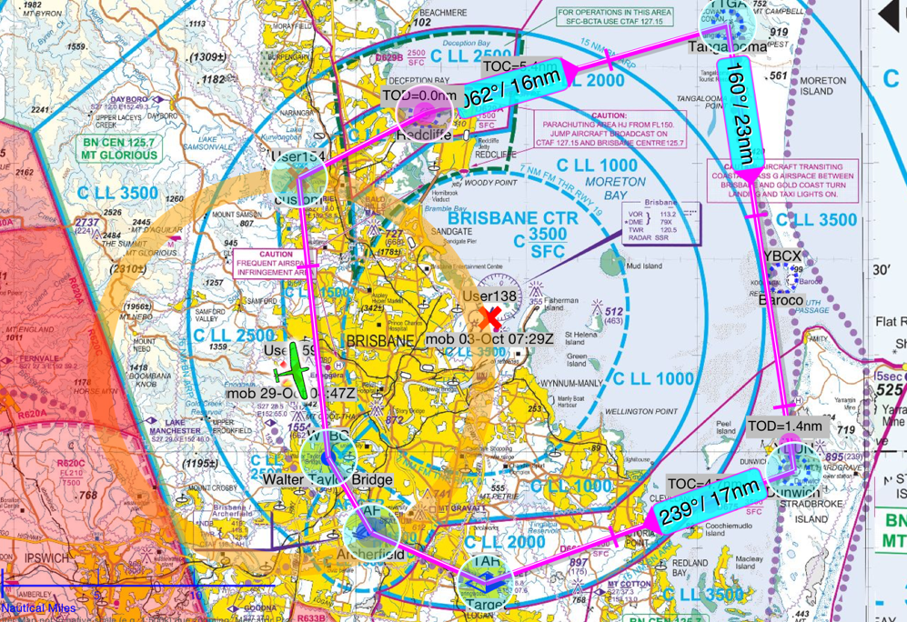
We headed off about 8am, the last of about 6 planes leaving from Redcliffe, and flew straight across the bay to Moreton Island, passing over Tangalooma Resort, then flew down the west coast of Moreton to stay clear of the Brisbane traffic control zone. The waters of Moreton Bay were amazingly clear as we kept an eye out for whales and dugongs.

Hues of blue in Moreton Bay
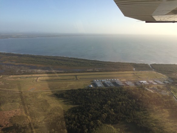
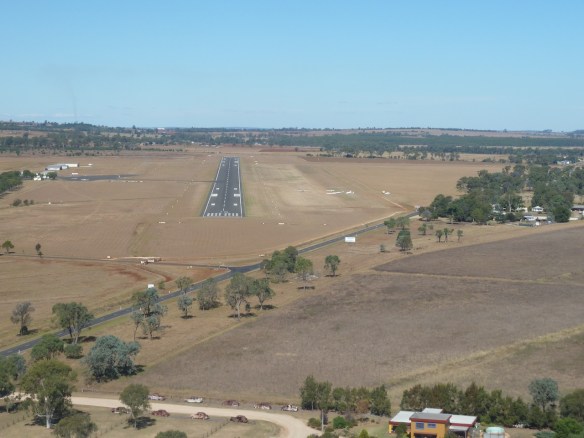
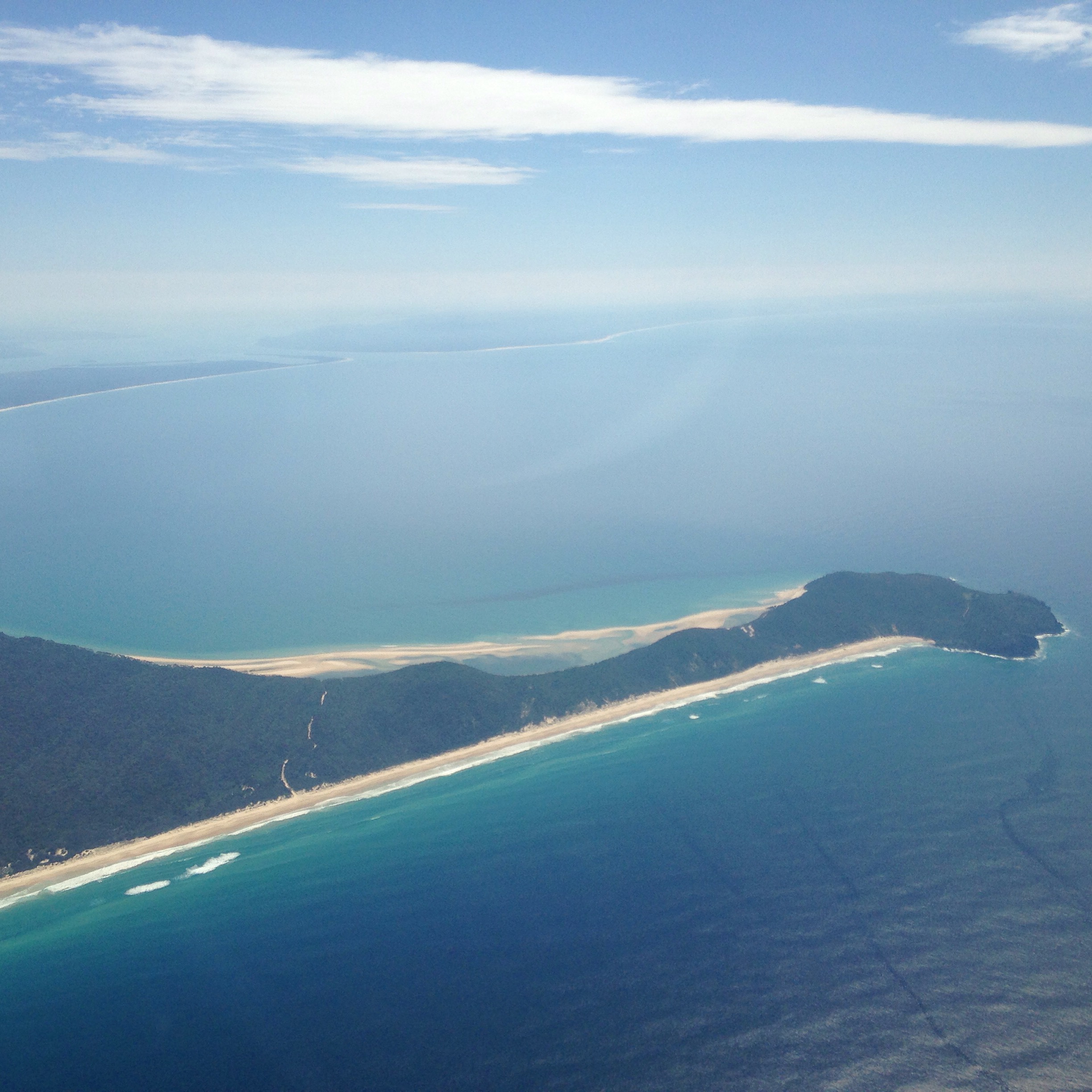
Crossing the small strait between Moreton and Straddie, we descended to about 1250ft , passed over the town of Dunwich with its ferry terminals and joined mid field cross wind for runway 15. There were a couple of planes ahead of us in the circuit so I completed a longer downwind than normal to allow them time to land. Coming in on short final I had expected some gusts but it was very calm, almost no wind at all.

Dunwich township
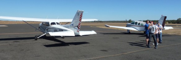
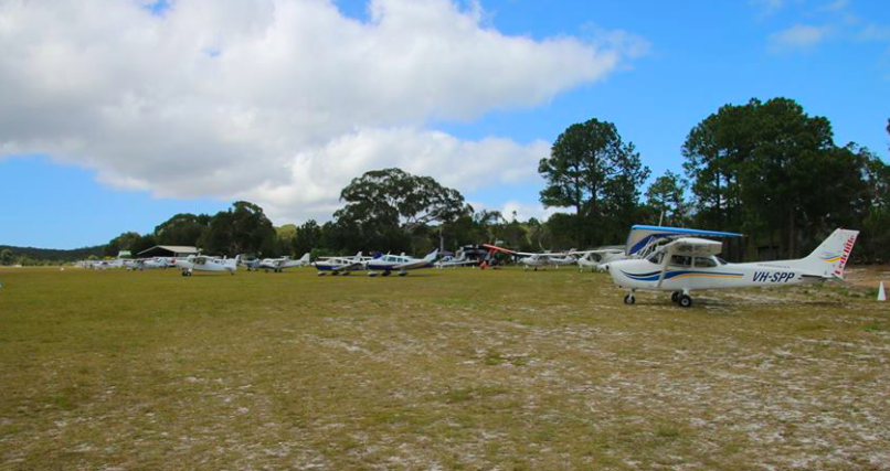
We had a smooth landing and taxied to join about 30 other planes that had already arrived. There was a selection from single occupancy ultralights to twin engine Cessna 310s.

Planes assembled on the side of the strip
The aeroclub had put on a great hot breakfast that we enjoyed while chatting with the other 60 or so people at the tables set up outside the club house. People had flown in from Archerfield, Toowoomba, the Gold Coast, the Sunshine Coast and other aerodromes around the region. Some said they fly in to Dunwich almost every month and have done for years.
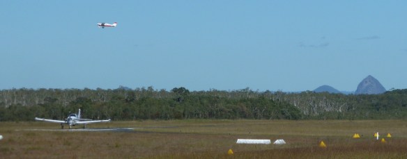
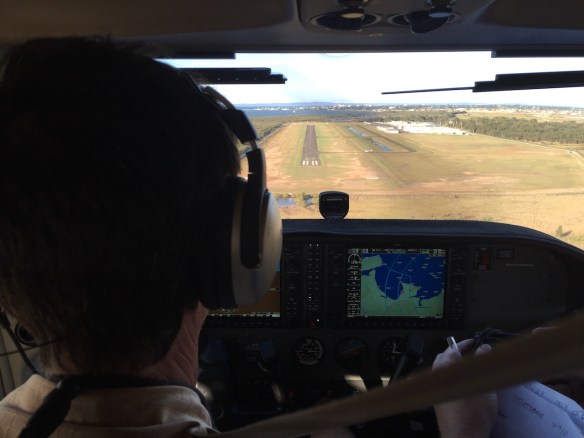
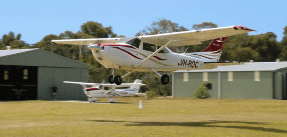
After about an hour the planes started to leave one by one, practising soft field takeoffs from runway 17. Jarrad gave me a bit of refresher on the technique in ROC, accelerating to rotate a bit early, lifting off and then pushing the nose down to stay just above the surface in ground effect while the plane accelerated to “climb out speed”.

In ground effect picking up speed
Then I pulled the nose up and we climbed out above the surrounding hills. We headed west over towards Archerfield and did a transit through the D Class controlled airspace there and headed north past Mt Coottha to the Gap. We did an orbit over the Gap to give Tim a good view of the place he grew up. Then it was off to Redcliffe via Lake Samsonvale. All in all a very enjoyable morning.