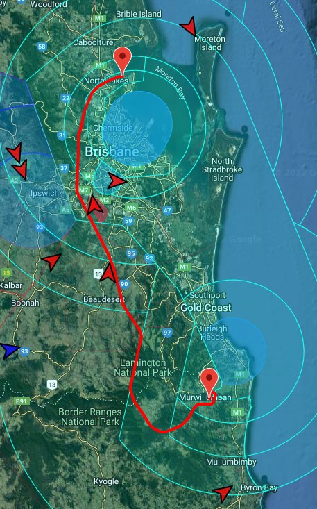
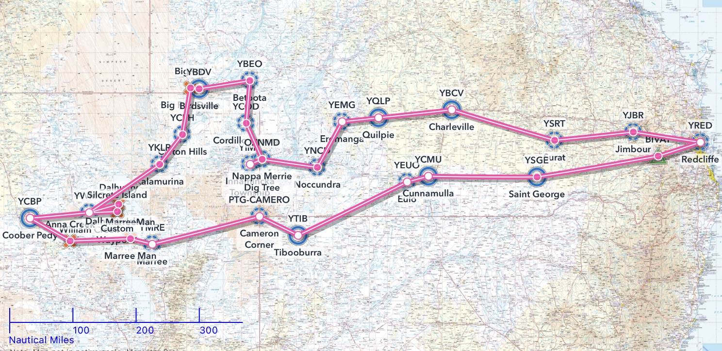
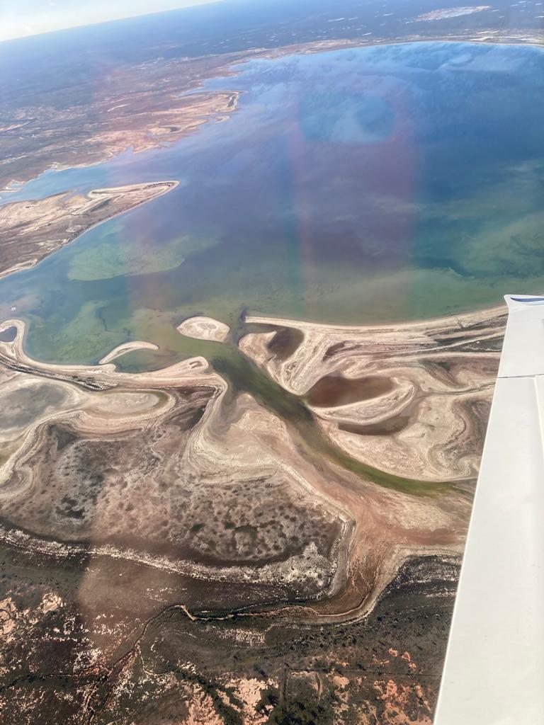
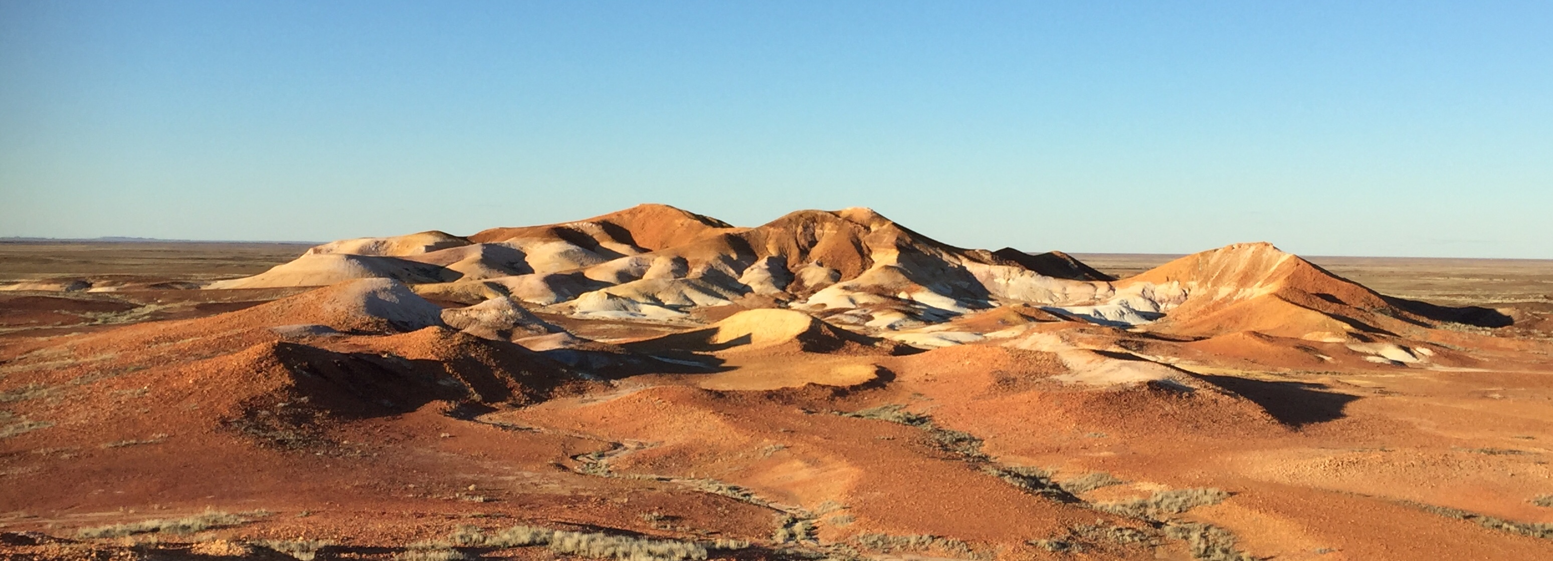
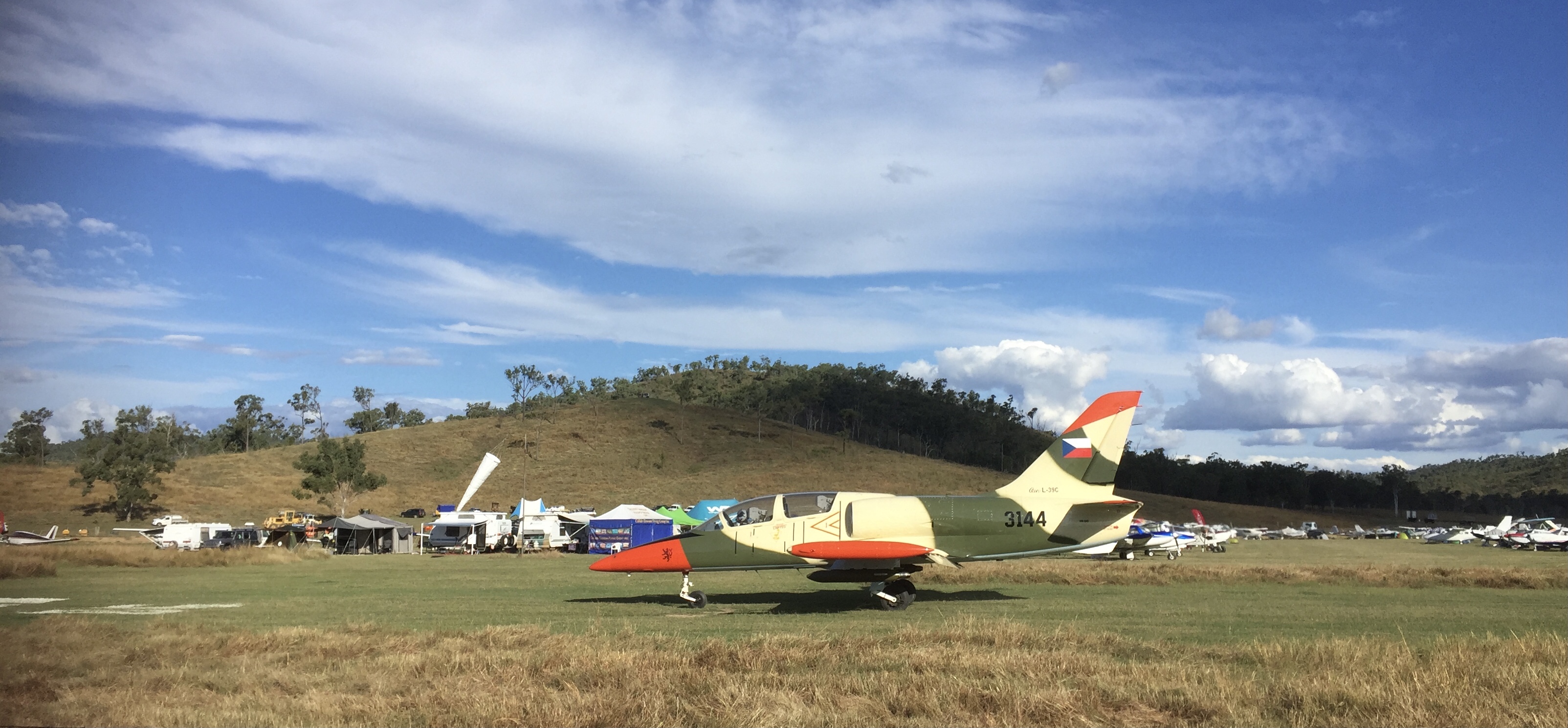
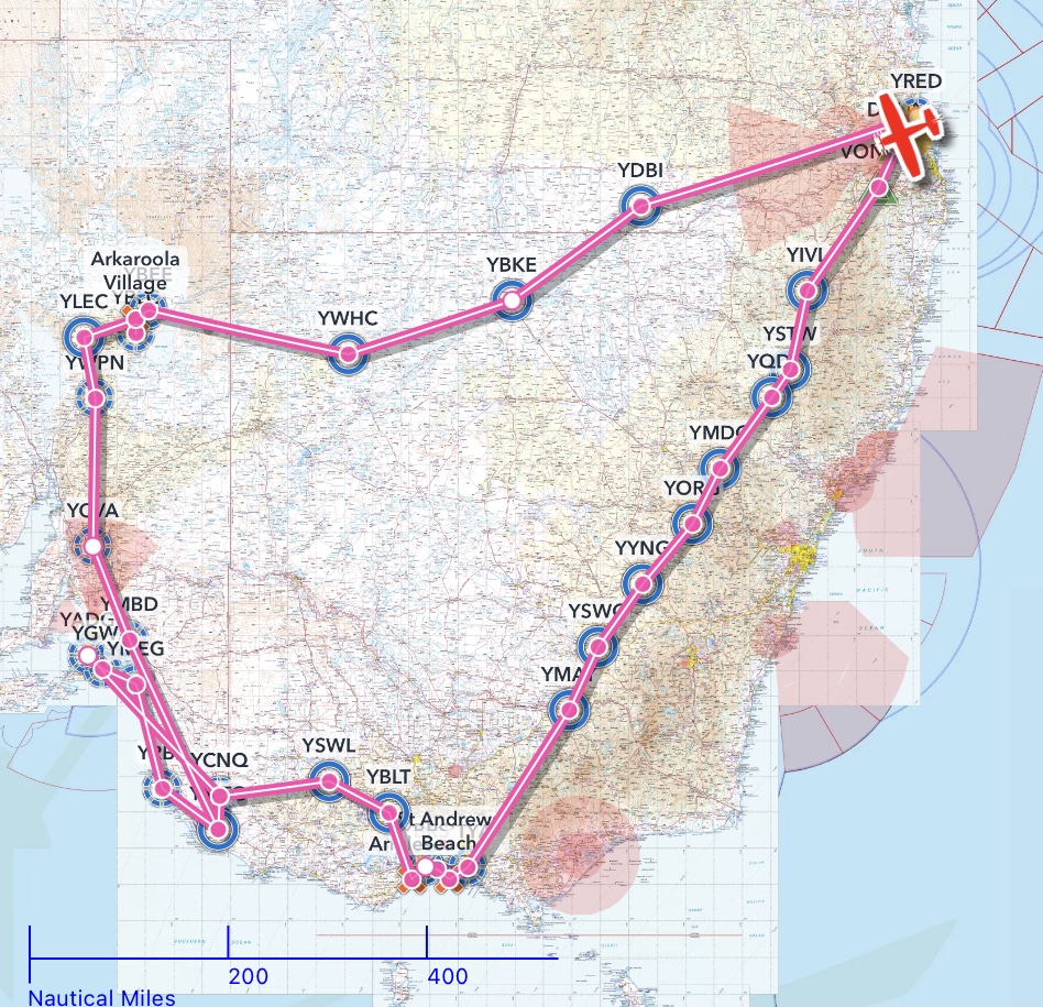
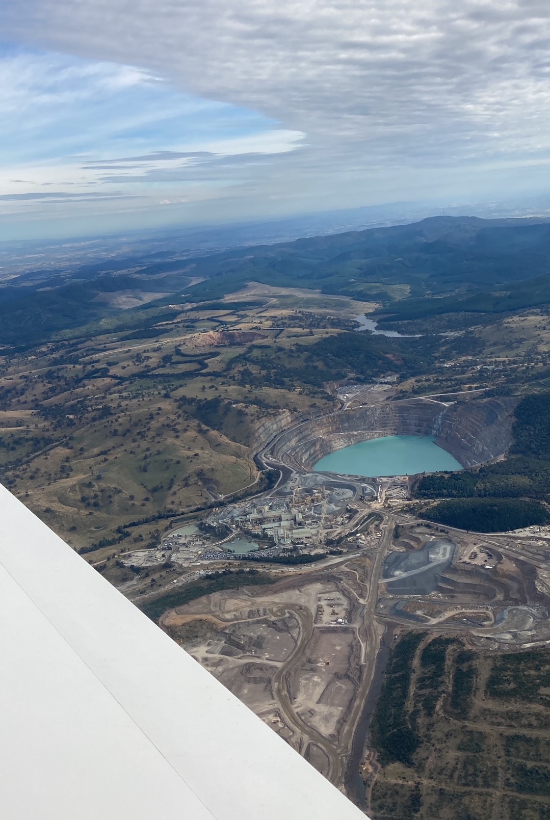
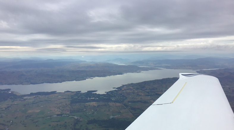
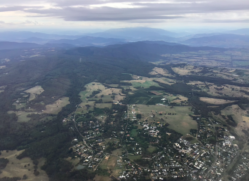
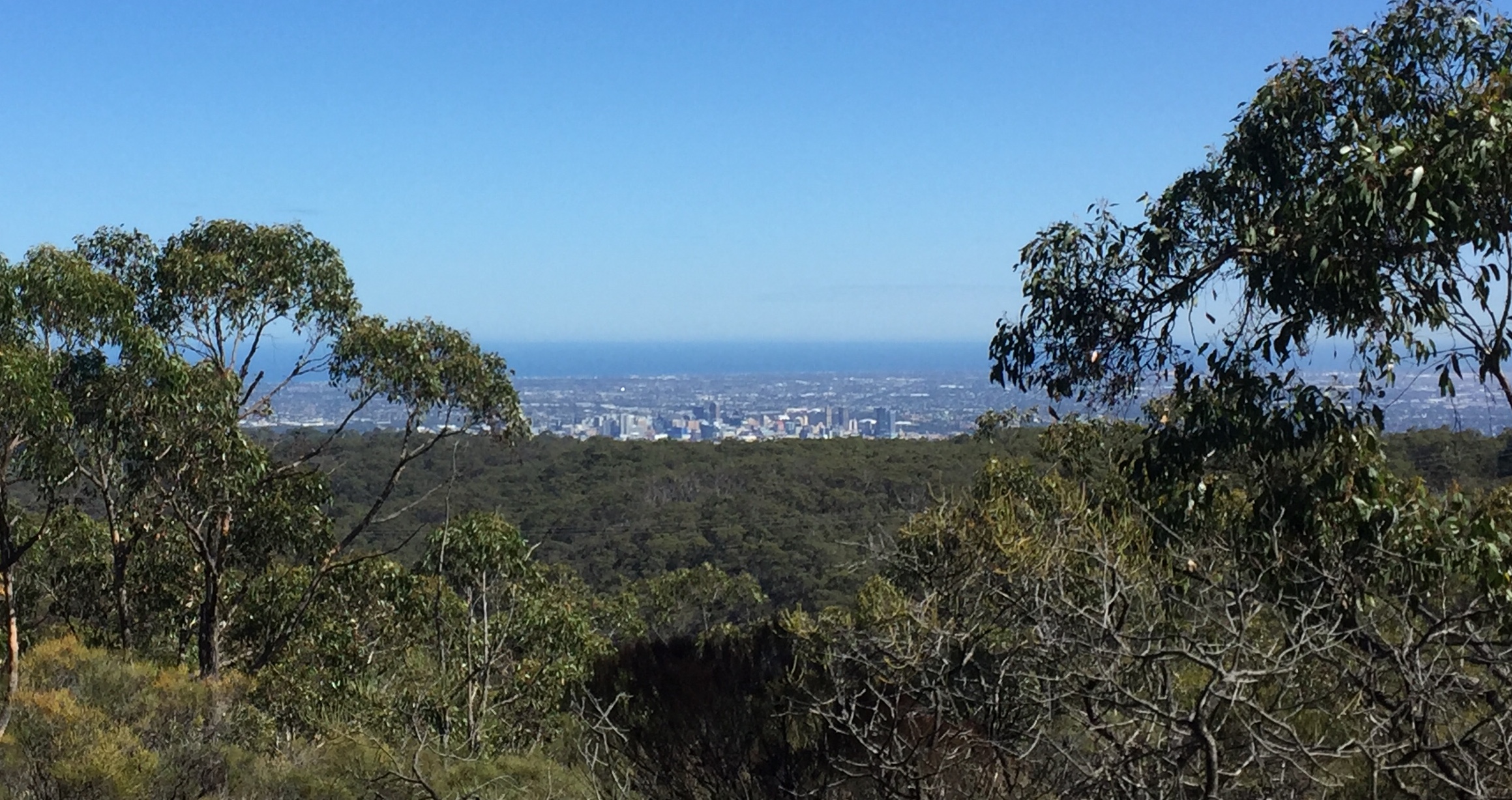
Night IFR – SID – RNP – Warwick – Stanthorpe – Archerfield – Redcliffe
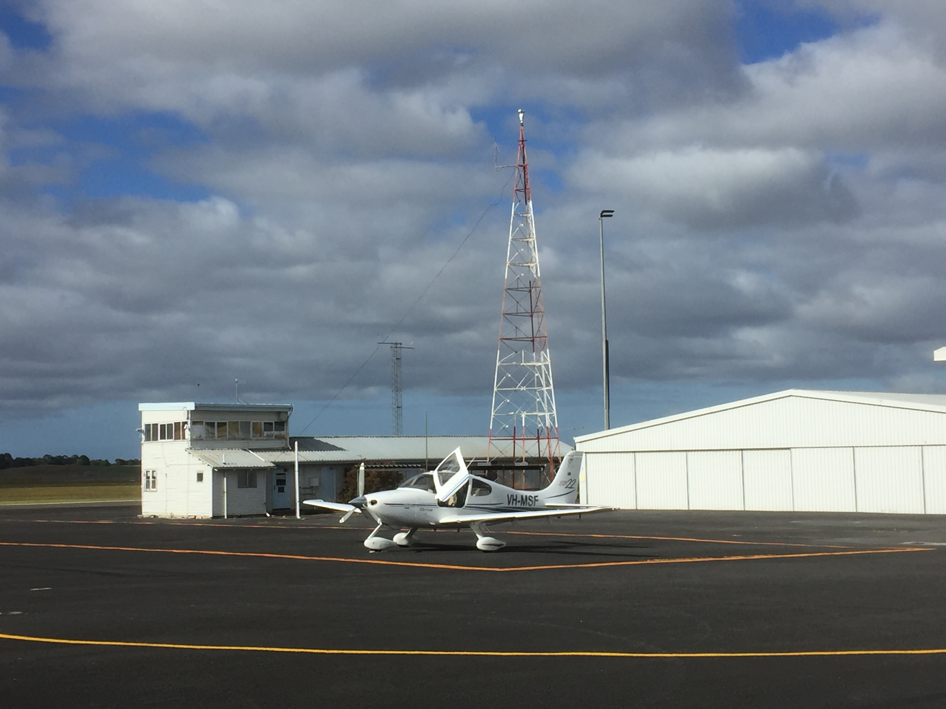
Even though a Private Pilot Licence never really expires, every two years private pilots need to undertake a “biennial flight review” with an instructor. The aim is to check our competency and brush up on any skills that may have deteriorated over the preceding 24 months. We need to do this to maintain CASA’s approval to fly. I like to have some sort of refresher training every 6-12 months in any case so the BFR ticks my box for one of those refresher flights once every two years. My last BFR was in August 2020 so I needed to do another one before the end of August 2022. My licence covers both VFR and IFR including night flying so it may be a bit more complex than the average BFR so I thought it’d be good to make a post about it to show what’s involved for me at least. In the past I’ve done it with one of the Redcliffe Aero Club aircraft but I’ve never felt comfortable flying at night in a Cessna since one of my instructors in the early days of training for my instrument rating asked me a question while we were flying at night from Toowoomba back to Redcliffe over rugged bush country. “So what would you do if your engine failed right now?” In the pitch black it was not a nice thing to contemplate. He said “You set the plane up into a glide and switch on the landing light. If you don’t like what you see in front of you just switch the landing light off again”. Enough said. I decided that another huge advantage of flying in a Cirrus is that if you are flying at night and have engine trouble at least you stand a good chance of walking away from the plane if you deploy the parachute, even if you’re over rugged country. So, now I only fly at night in a Cirrus. However, the aero club doesn’t have any Cirrus. I could use MSF with one of the instructors who’s had some basic training on how to fly it but I’d rather fly with a specialised Cirrus instructor.
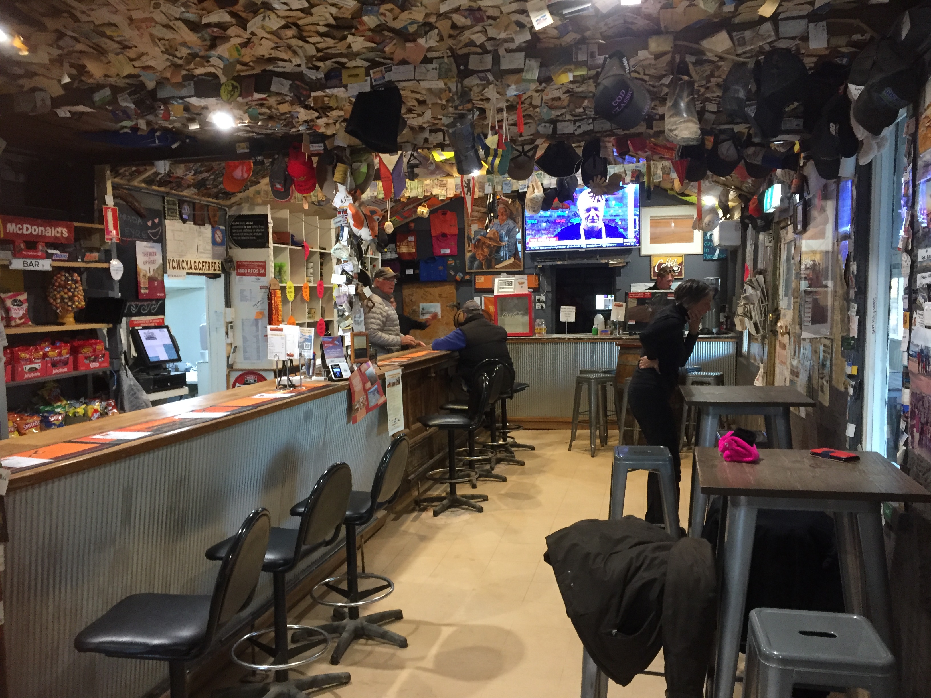
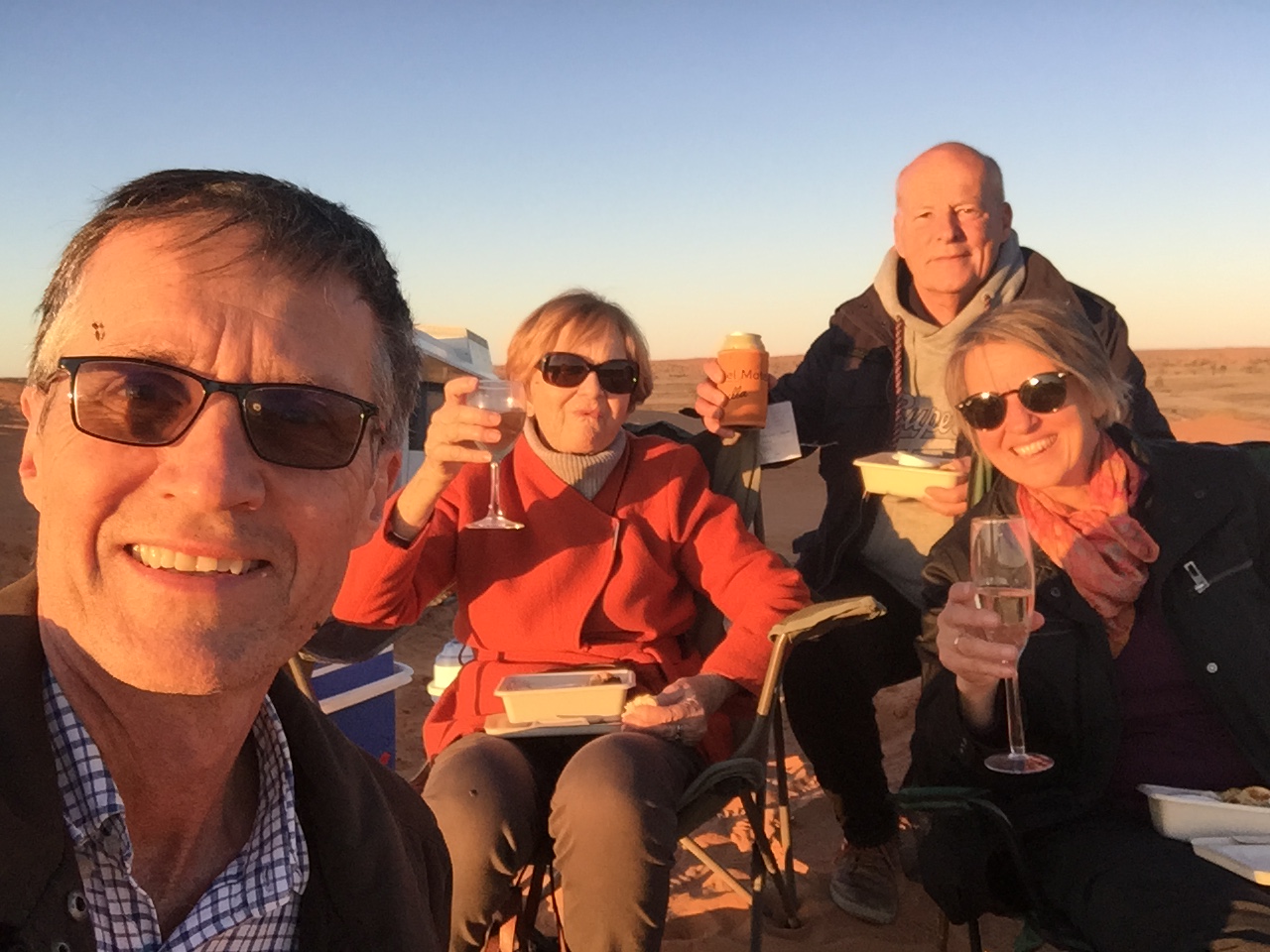
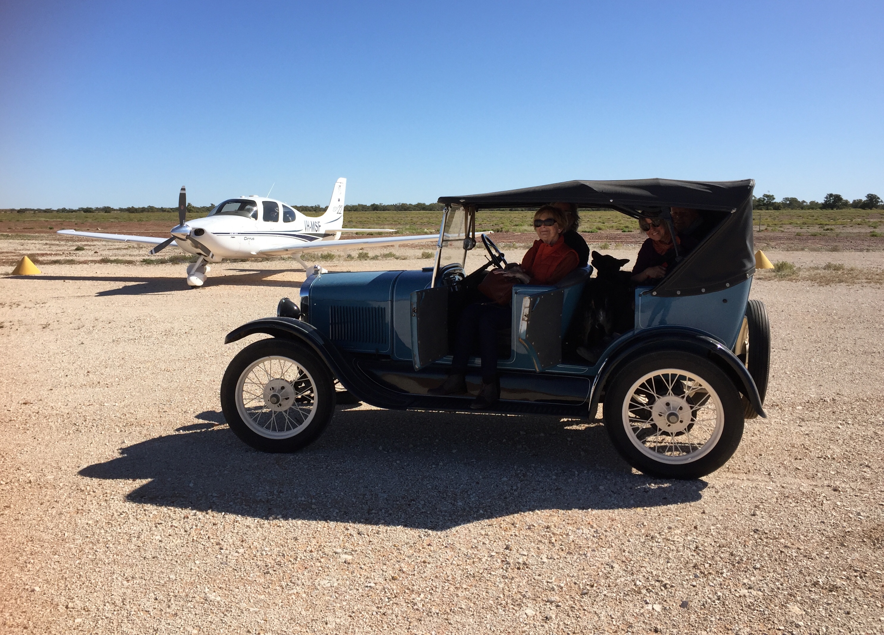
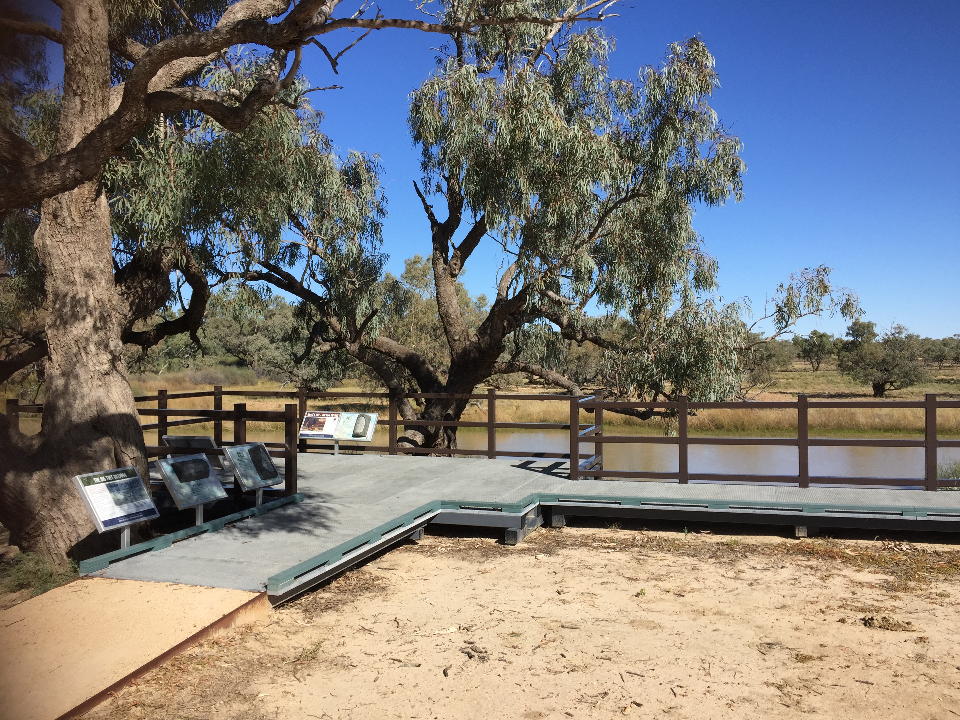
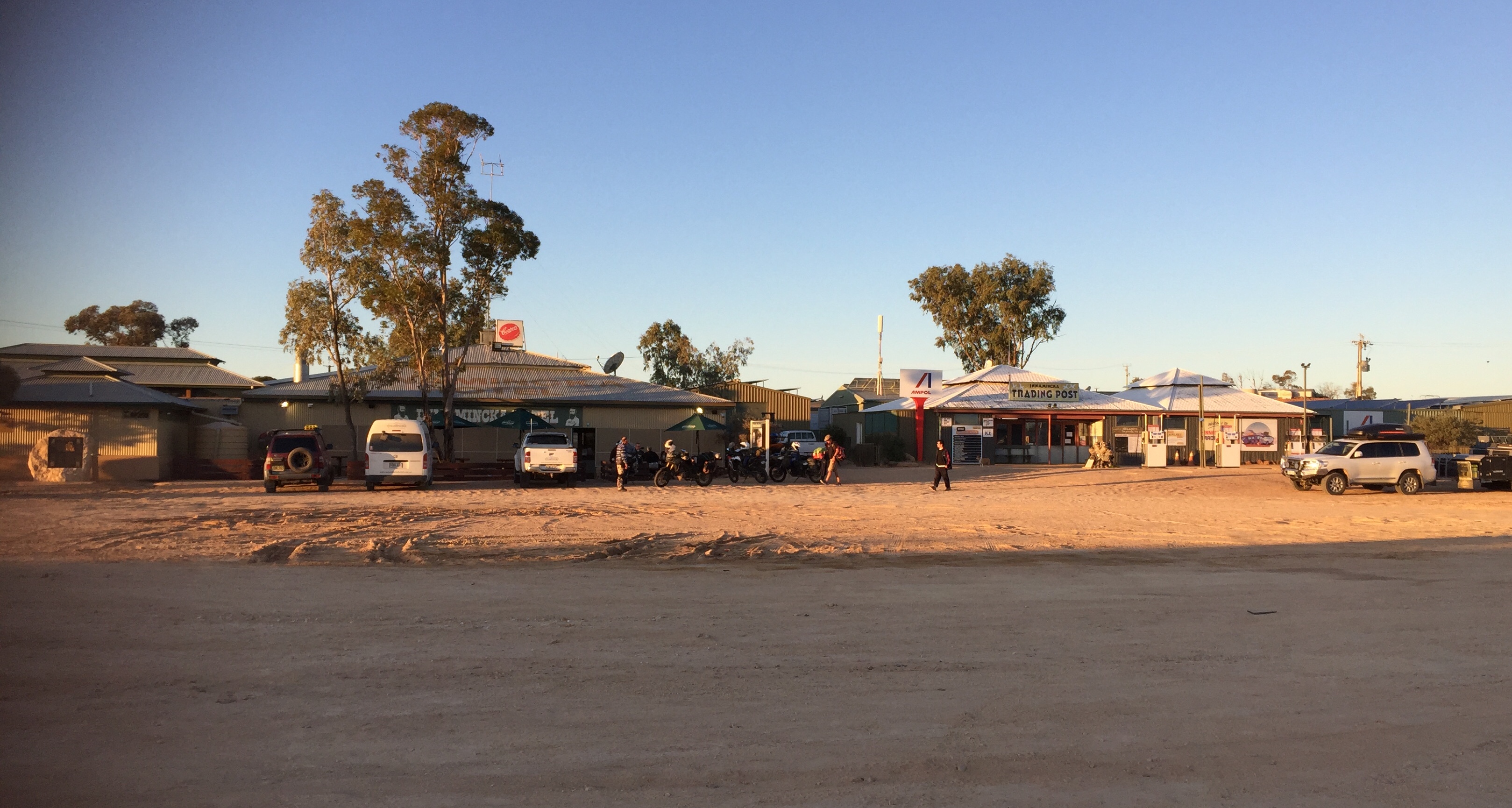
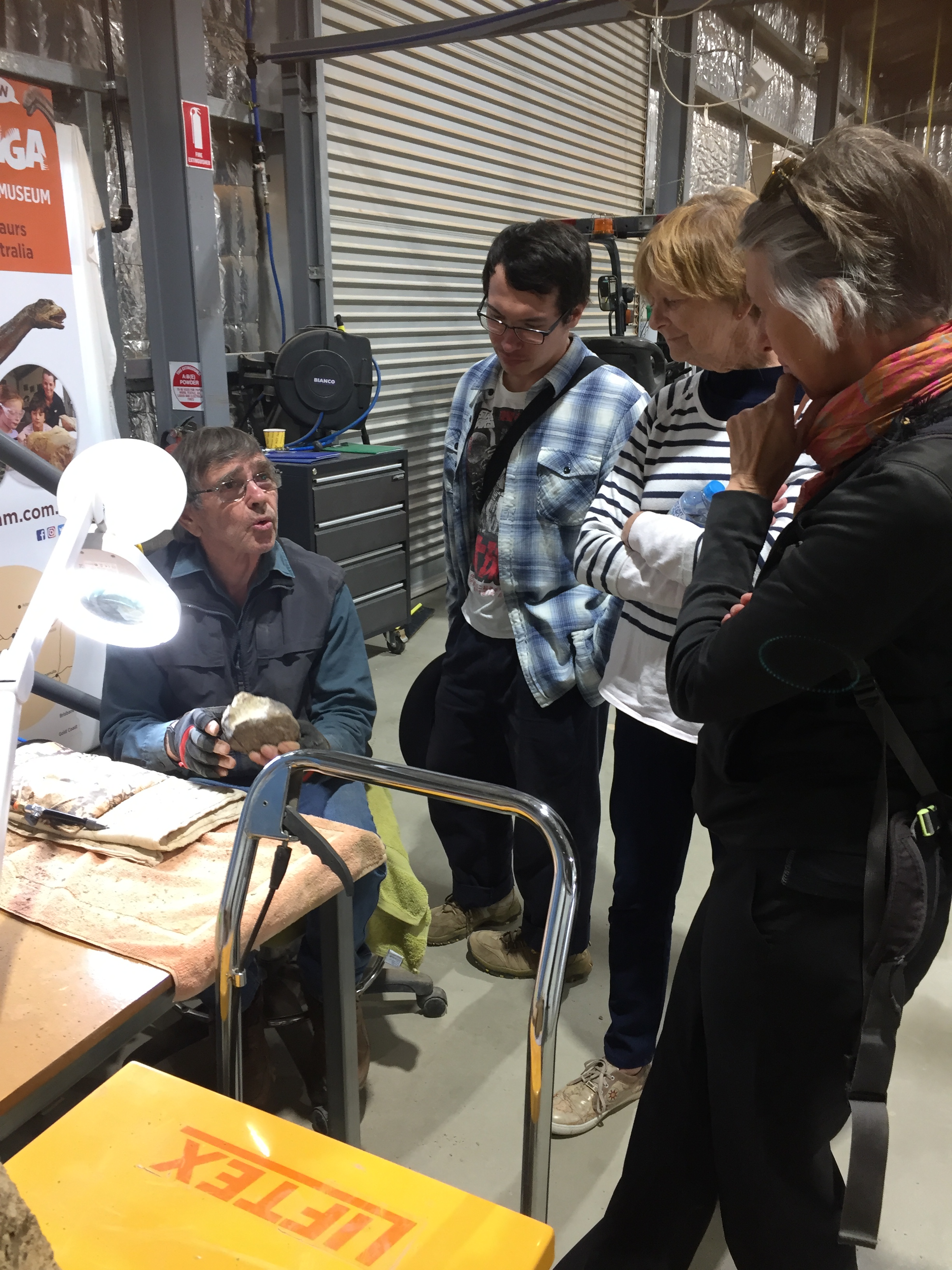
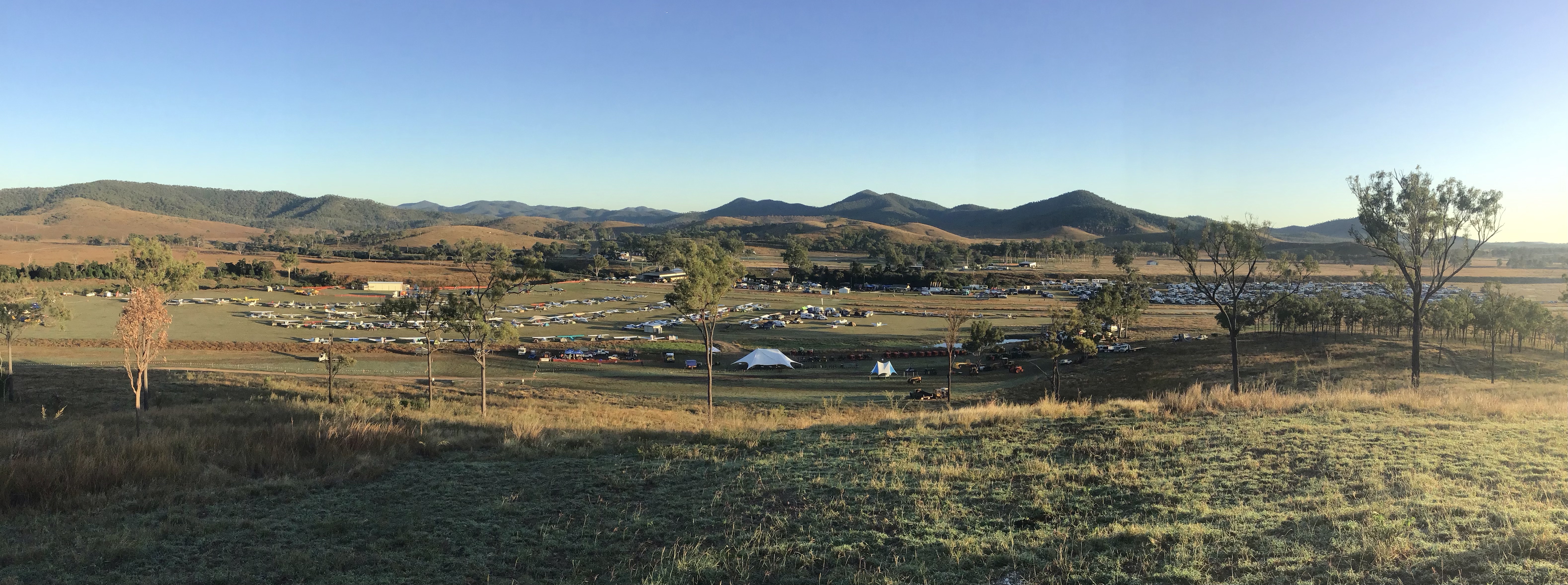
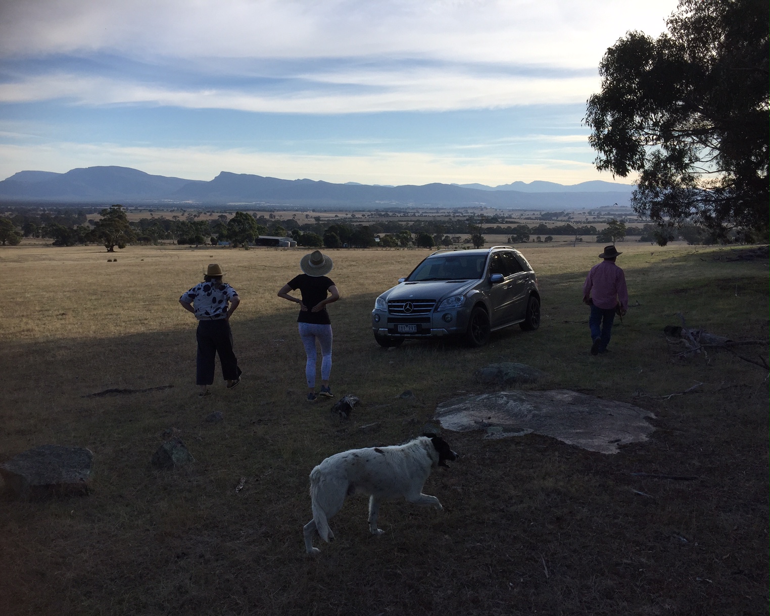
During a recent trip to Old Station I met Alyce Johnson, an instructor who’s set up her own “Cirrus only” flying school called Team Aviation at Archerfield. They also hire out their Cirrus to pilots who have demonstrated competency in flying them. It’s always good to have a couple of options on planes to hire so I thought I could kill two birds with one stone by doing my BFR with Alyce. By completing my BFR I’d also be approved for future hire of her aircraft. I’d actually kill three birds with one stone by completing one part of the BFR at night. I need to take off and land at least 3 times every 90 days to be able to carry passengers at night so by doing my BFR this way I’d also satisfy that requirement for another 90 days.
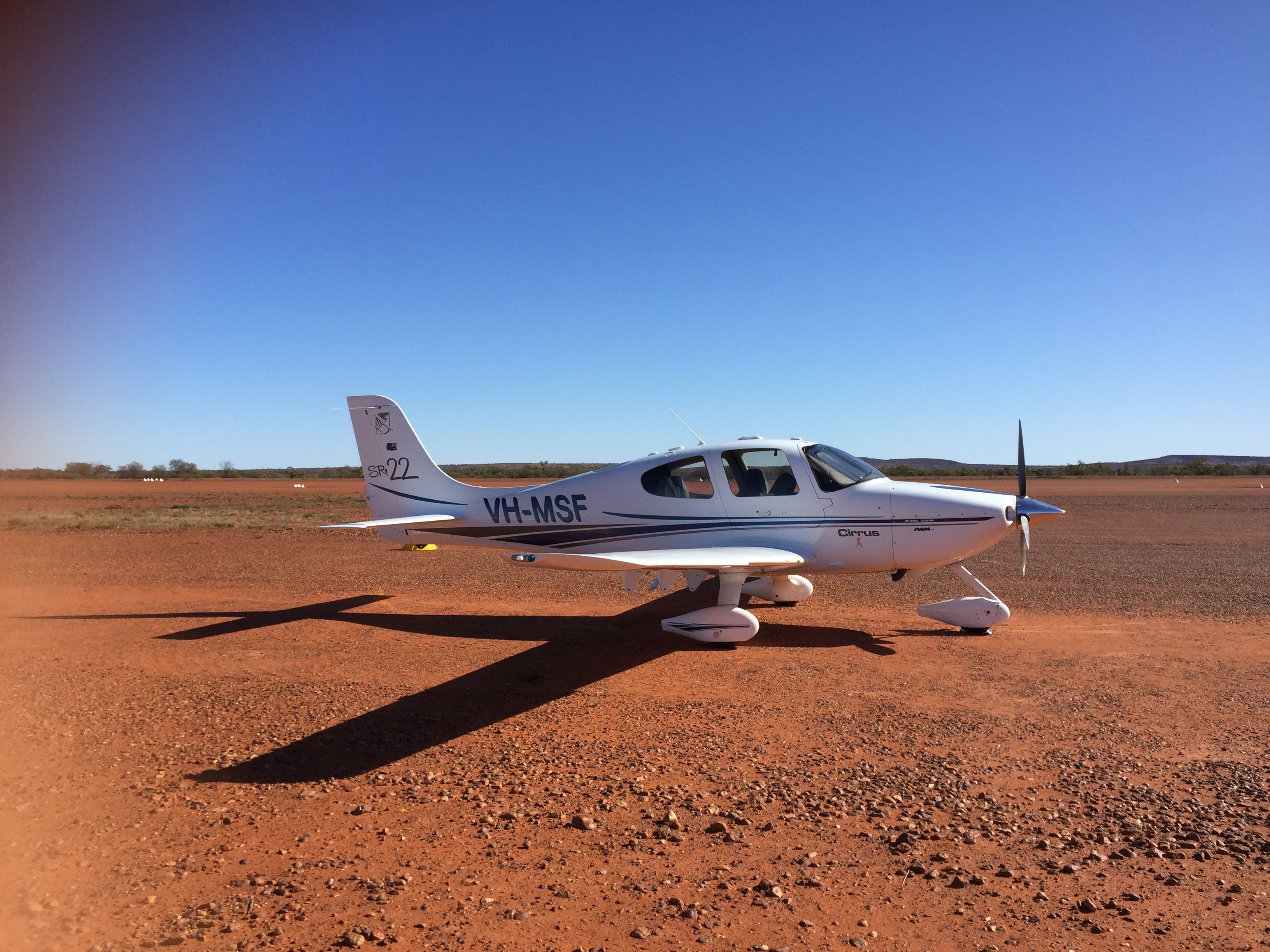
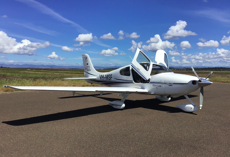
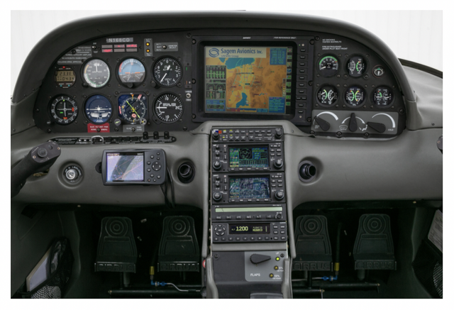
Team Aviation only has recent model Generation 5 or 6 (G5,G6) Cirrus aircraft with full glass cockpit (all the main instruments are represented on two computer screens), compared with the partial glass cockpit (a combination of screens and conventional dials) in MSF (G1).
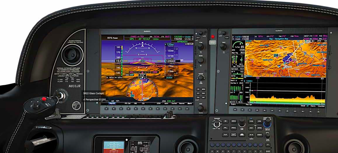
The glass cockpit in the newer Cirrus is similar to the G1000 avionics system in VH-ROC, the Cessna 182 that I flew while training for my CPL in 2020/2021. Both are Garmin avionics systems, but the one in the late model Cirrus is called Perspective Plus and it does a bit more than the G1000 system in ROC.
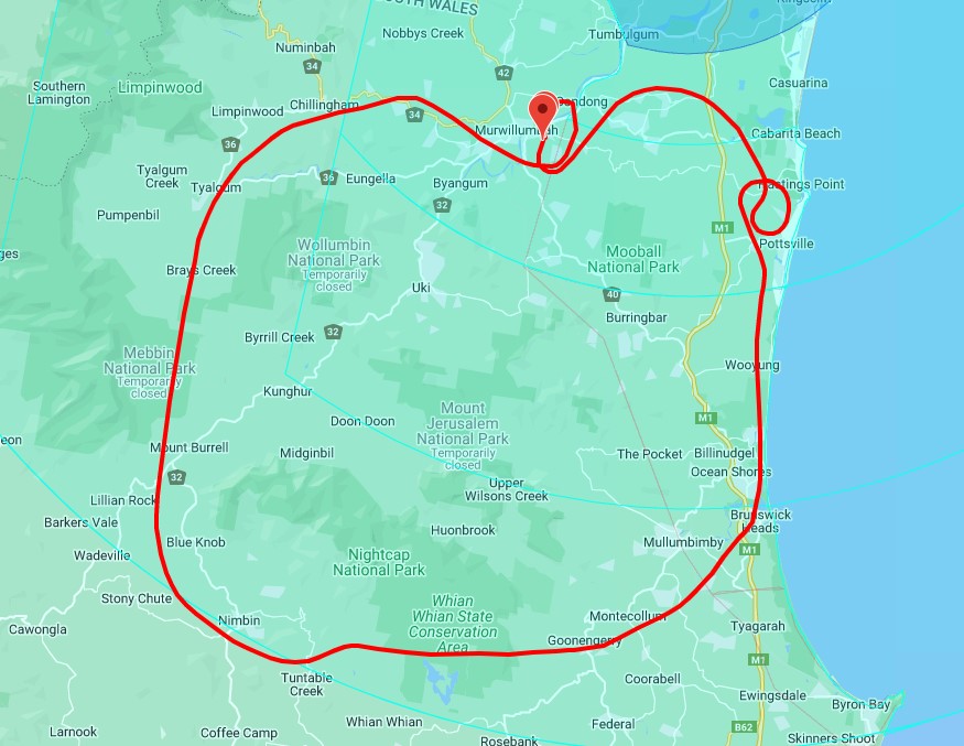
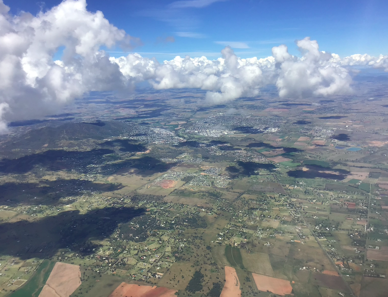
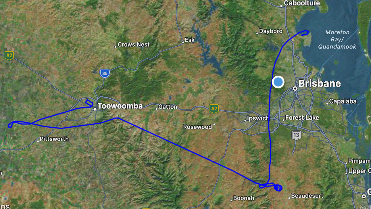
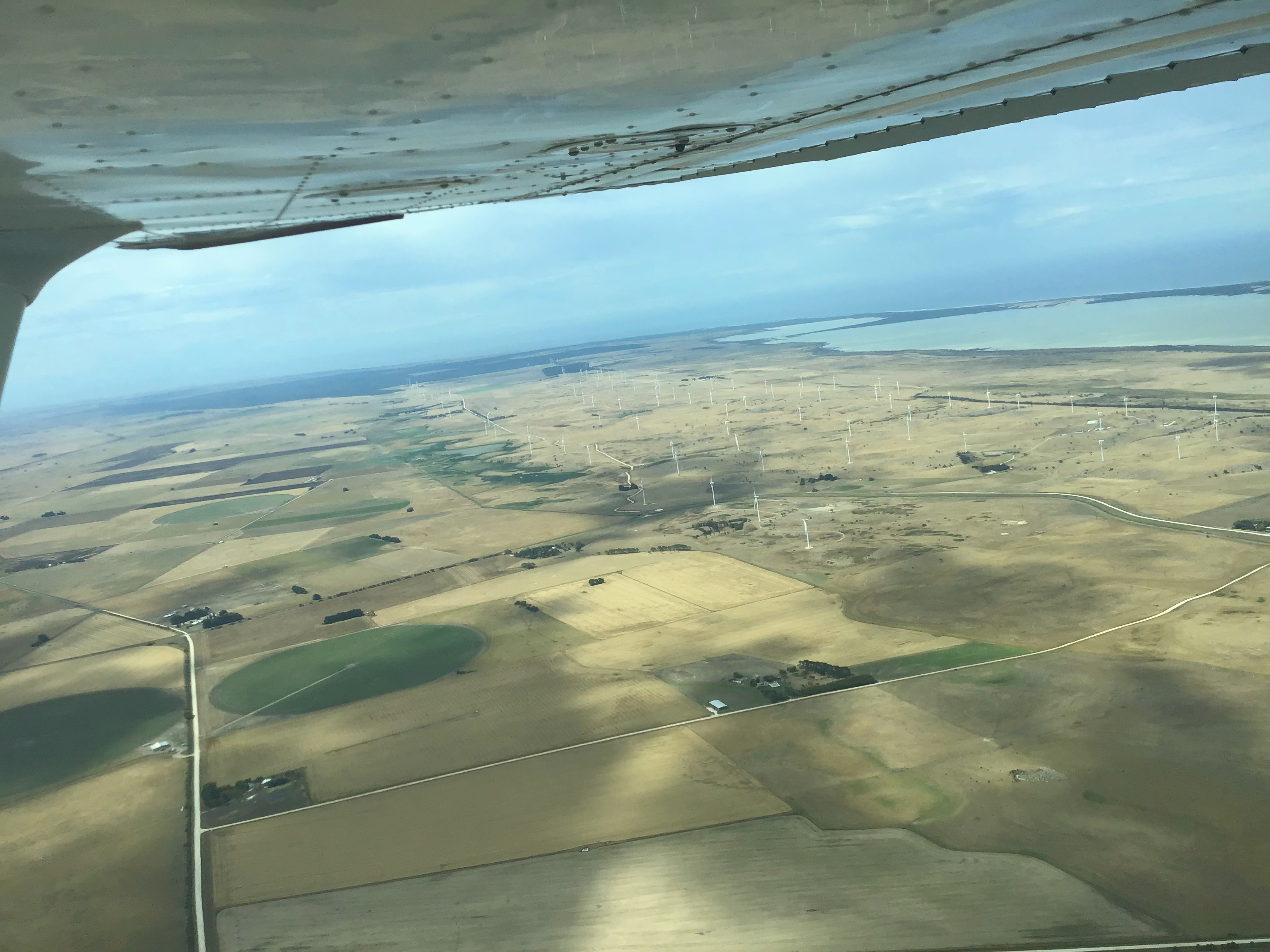
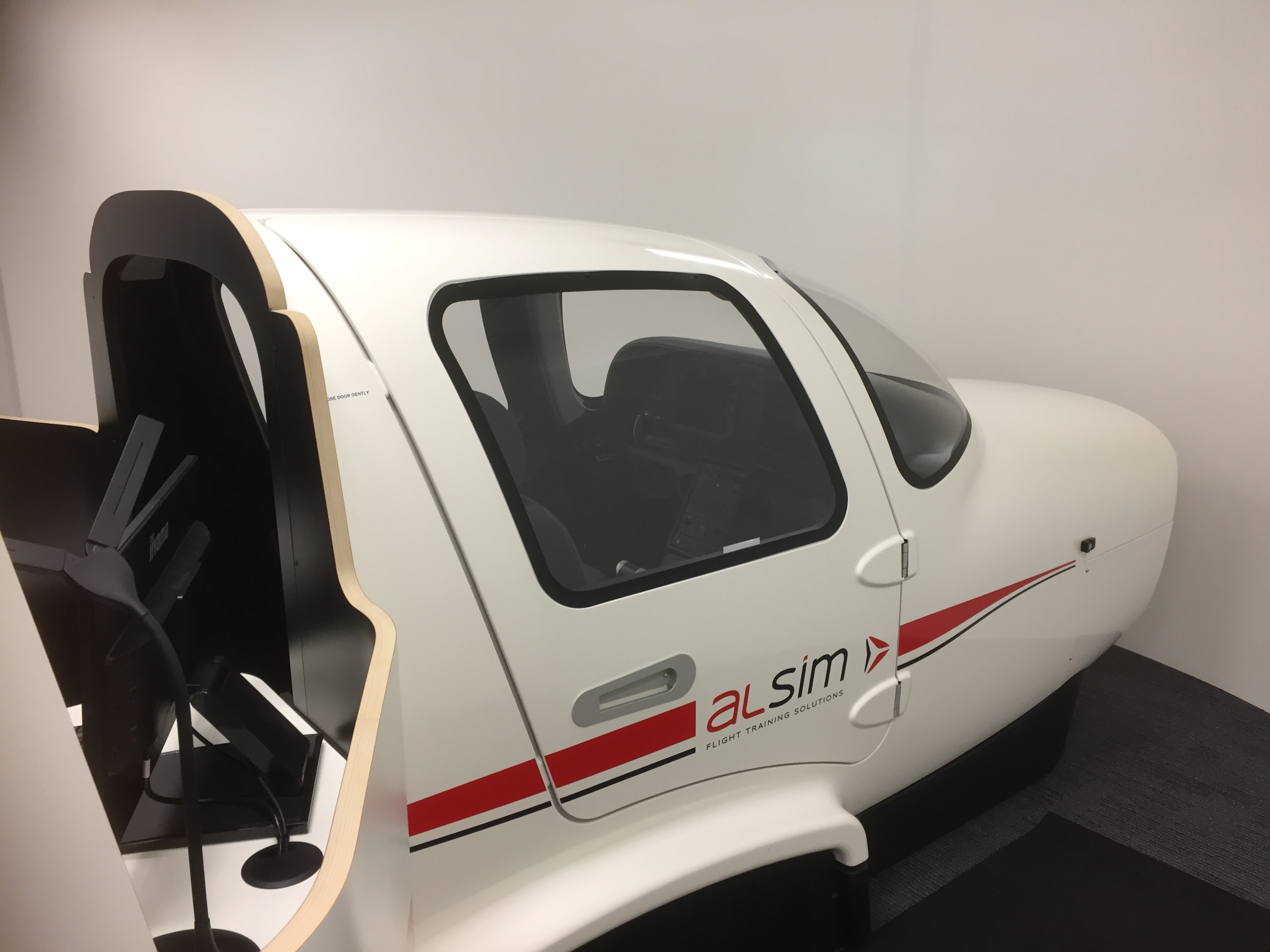
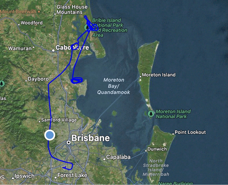
Not having flown in a plane with a full glass cockpit for over a year I thought it’d be best to have a trial flight in a simulator first. It just so happens that Team Aviation have a Perspective simulator so Lesson 1 on 5th July was a two hour familiarisation with the system on the simulator. One of the instructors, Marcello, watched on while I practised the route I’d fly out of Archerfield in the actual aircraft two days later. We “took off” from Archerfield, tracked to Warwick, did an instrument (RNP) approach, a missed approach and then tracked to Stanthorpe for another instrument approach and full stop landing. This process refreshed my memory on how to program the Perspective system and how to plan and carry out the instrument approaches. This would come in handy when I had to do the real thing. Marcello gave me a few tips including the suggestion that we depart Archerfield by day using a VFR (Visual Flight Rules) departure, then switch to IFR (Instrument Flight Rules) once we’d left the Archerfield controlled airspace. With the right timing we’d arrive at Warwick around sundown so we could complete the night component of the BFR from then on.

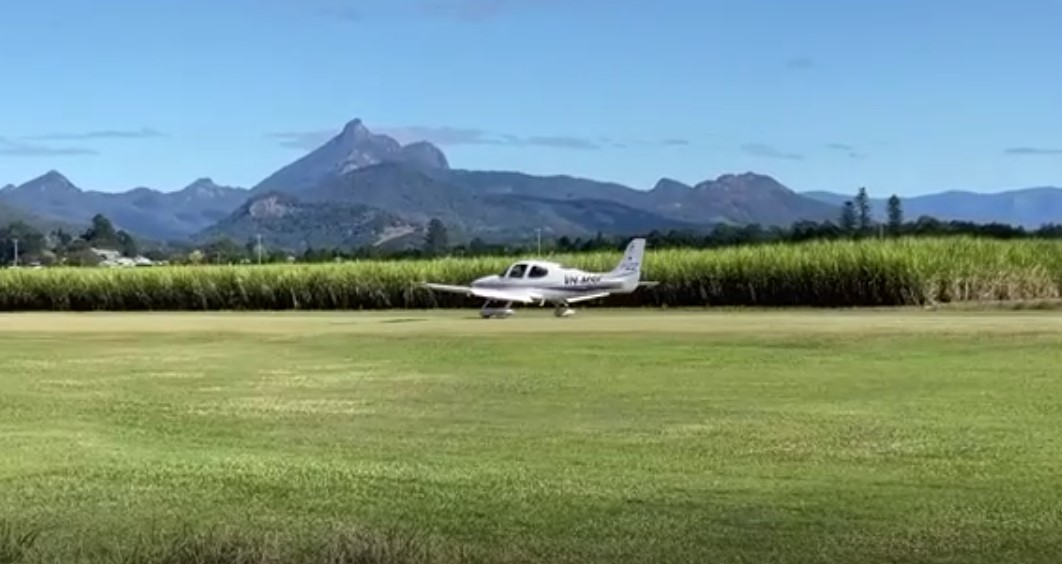
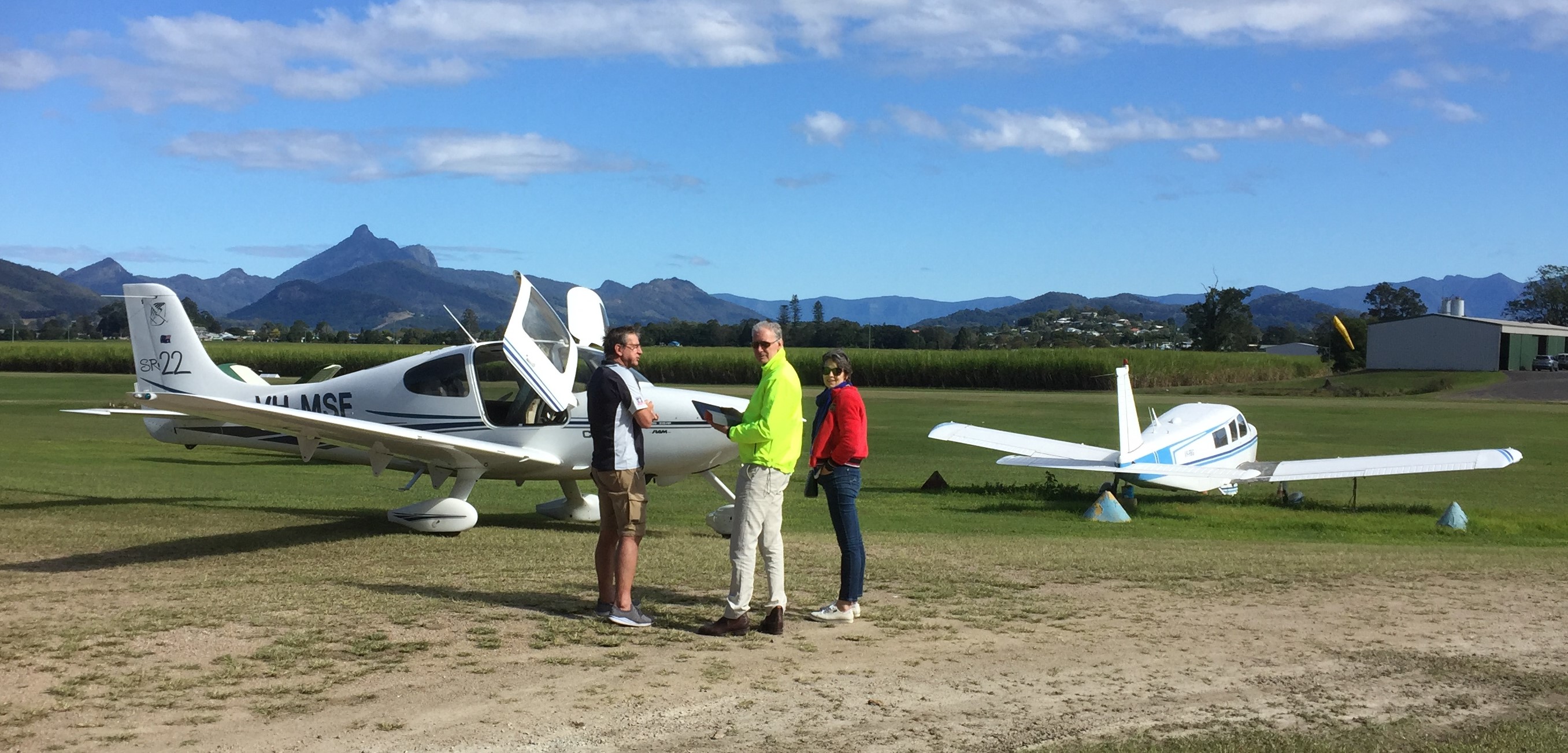
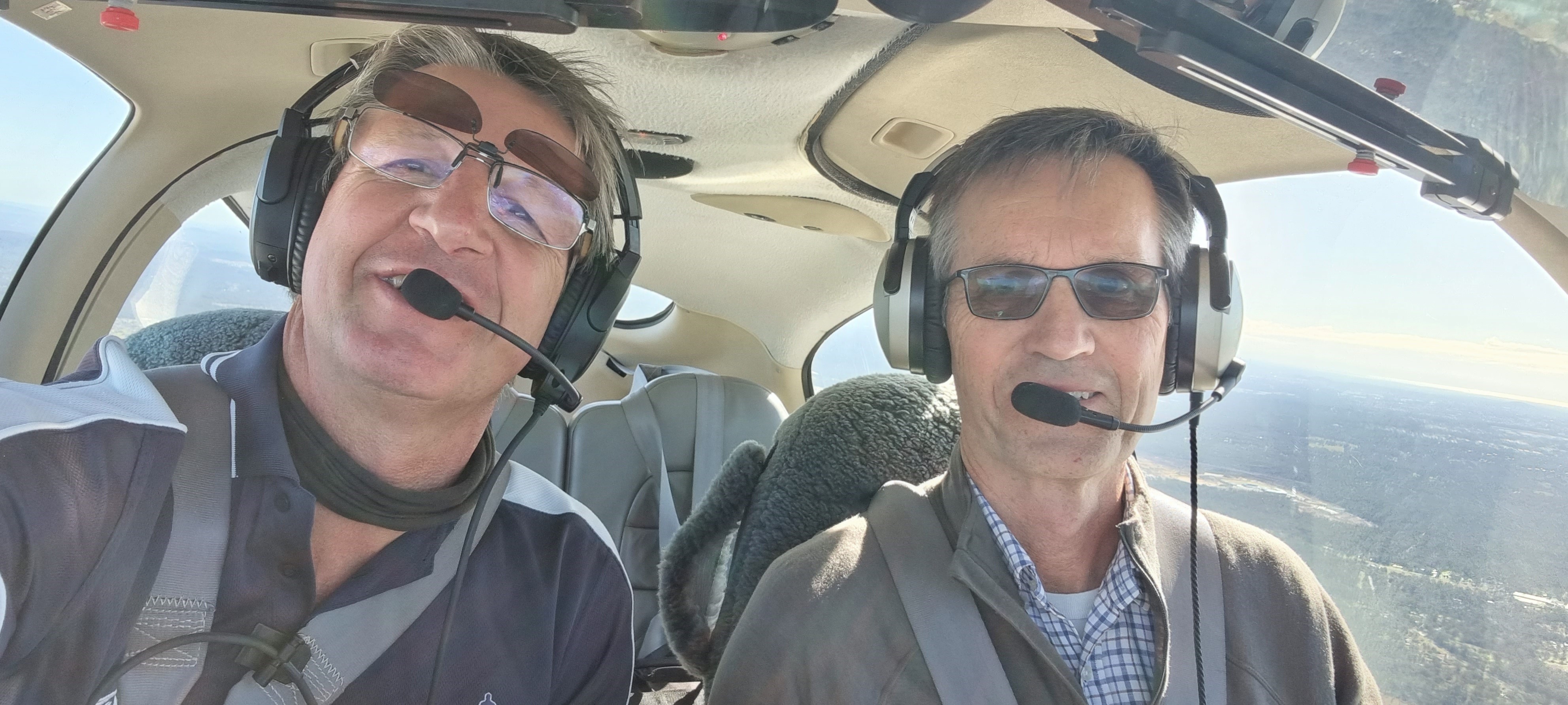
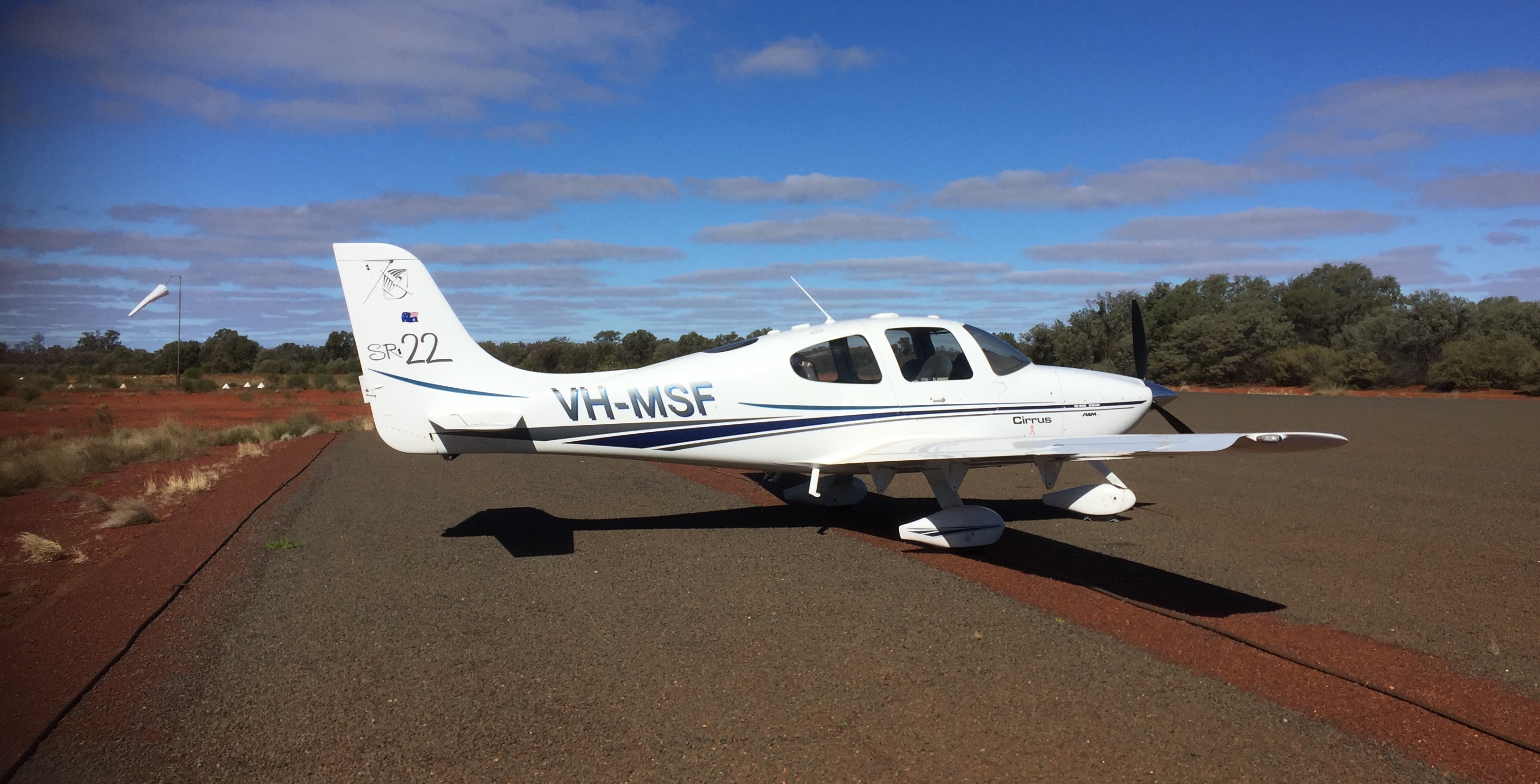
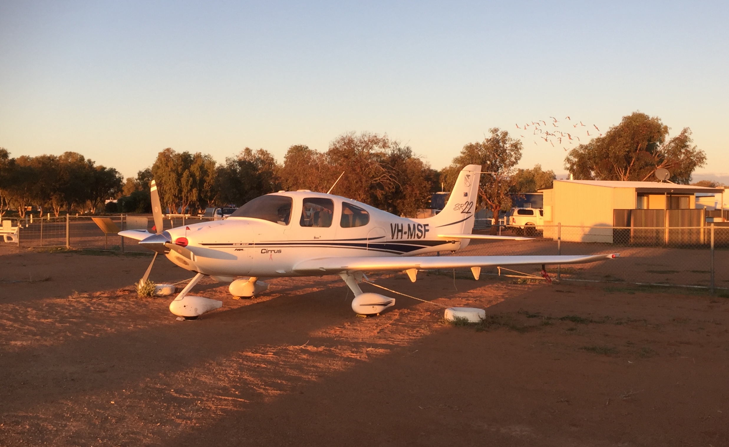
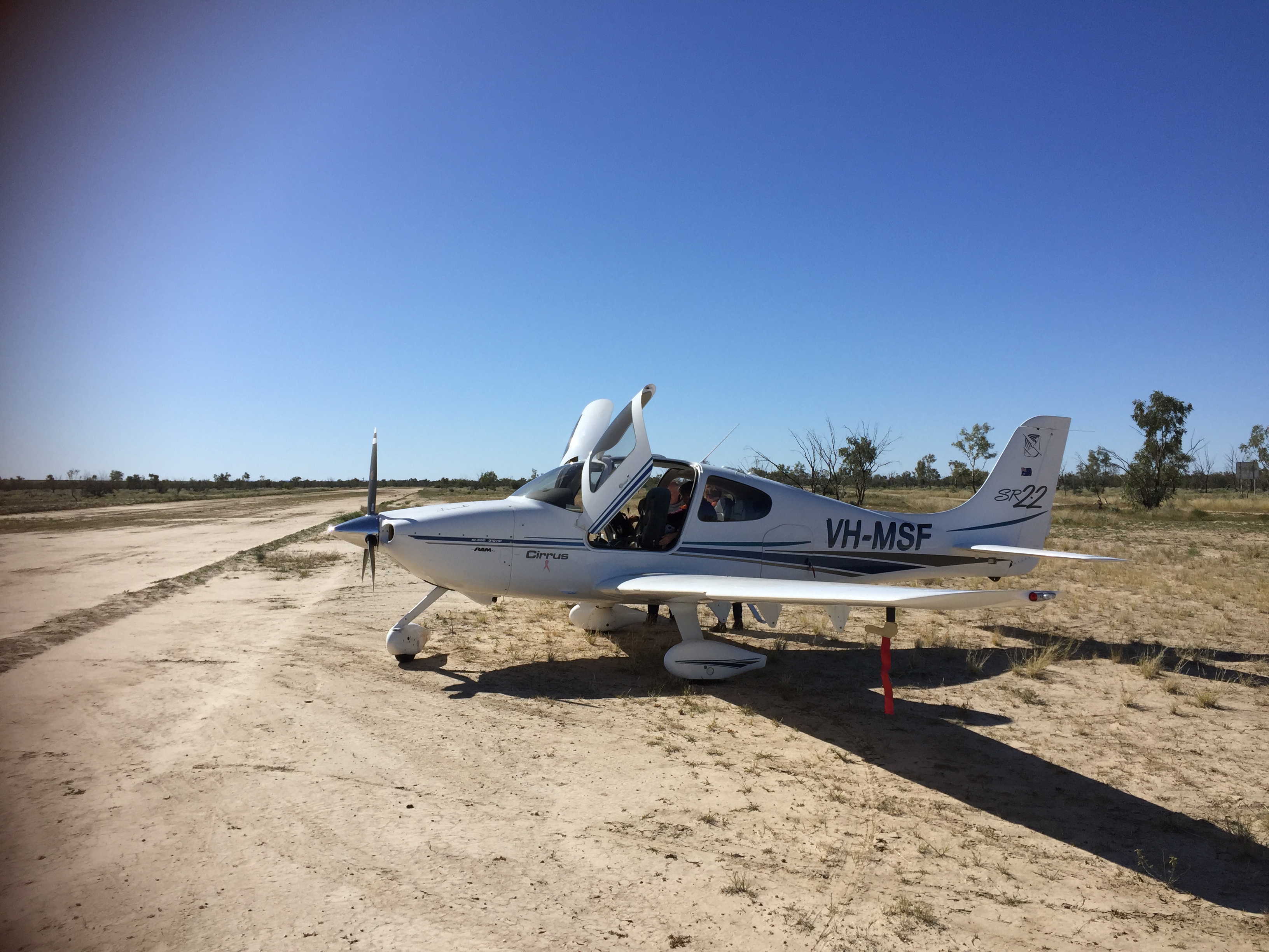
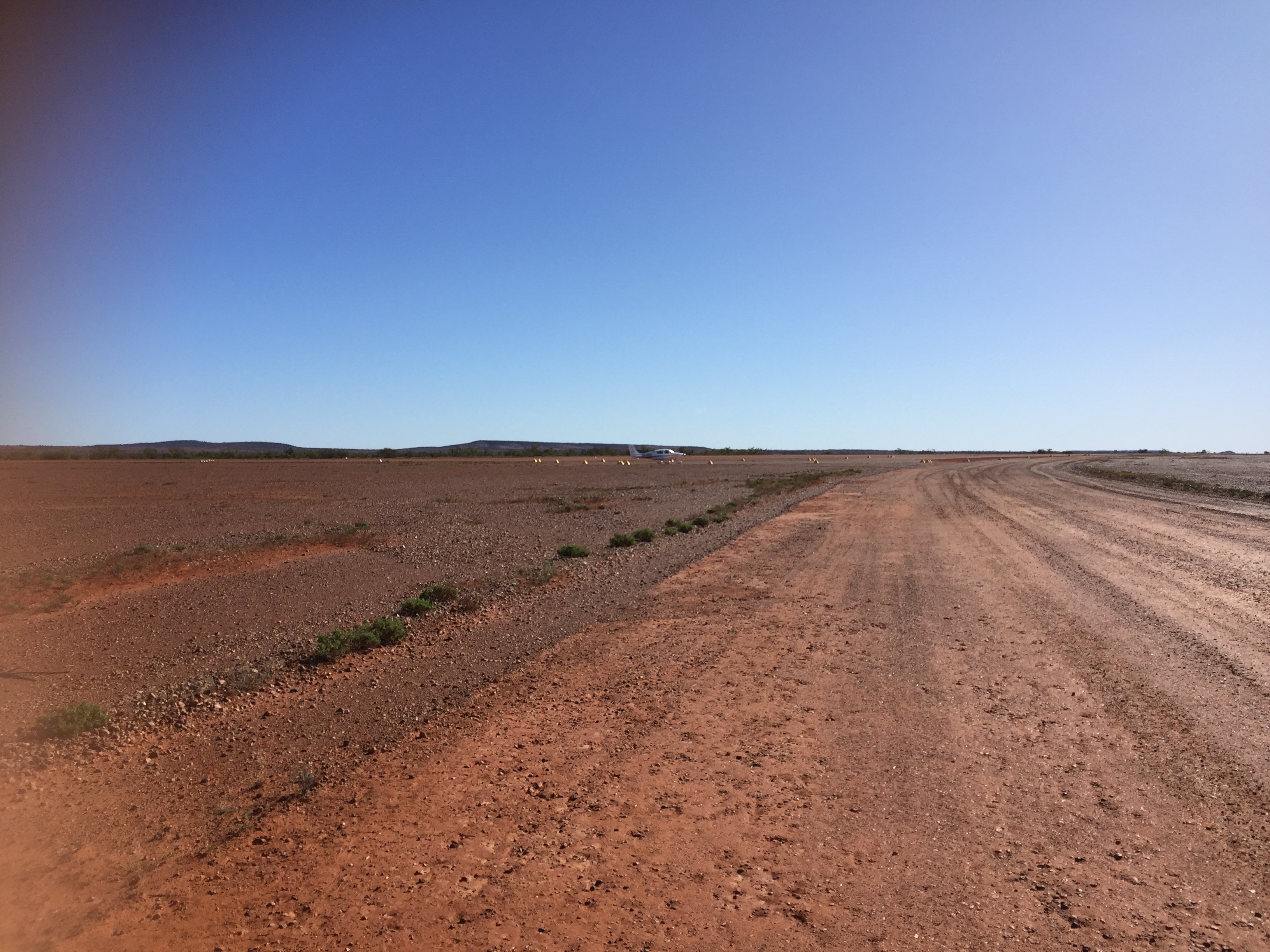
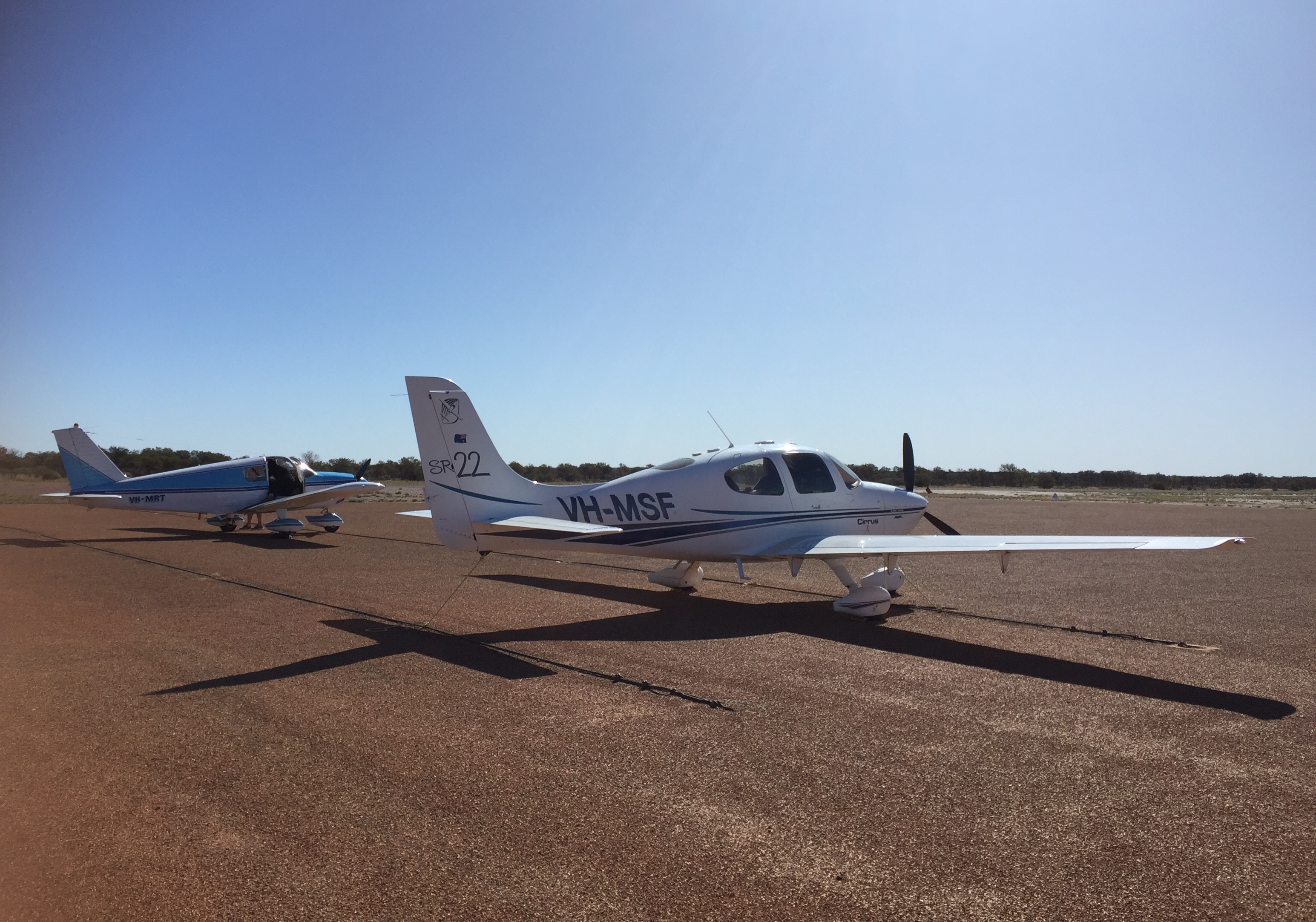
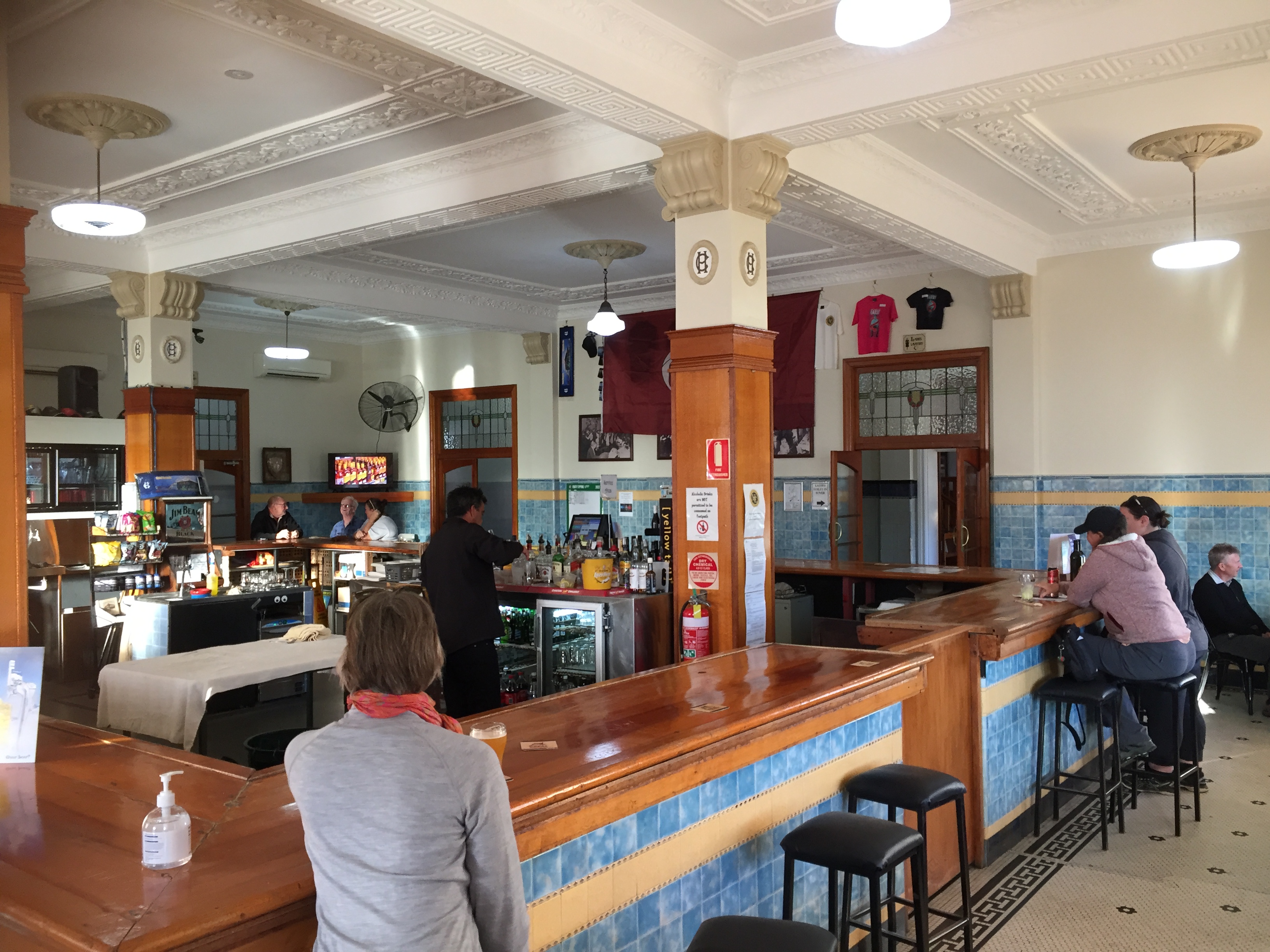
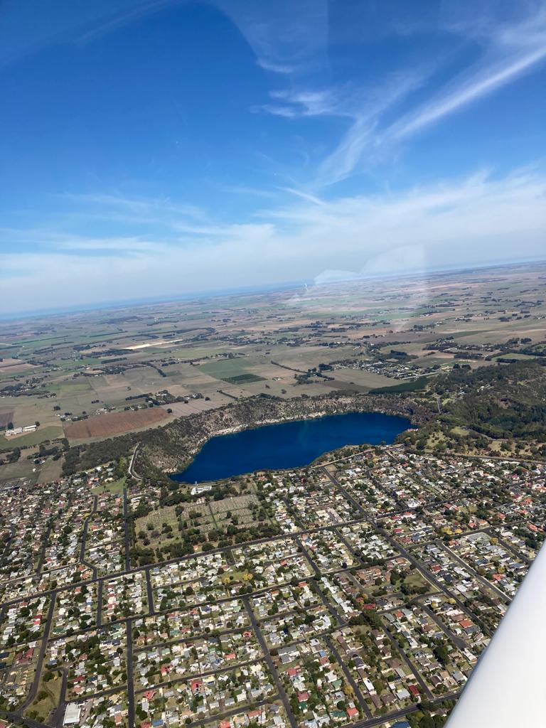
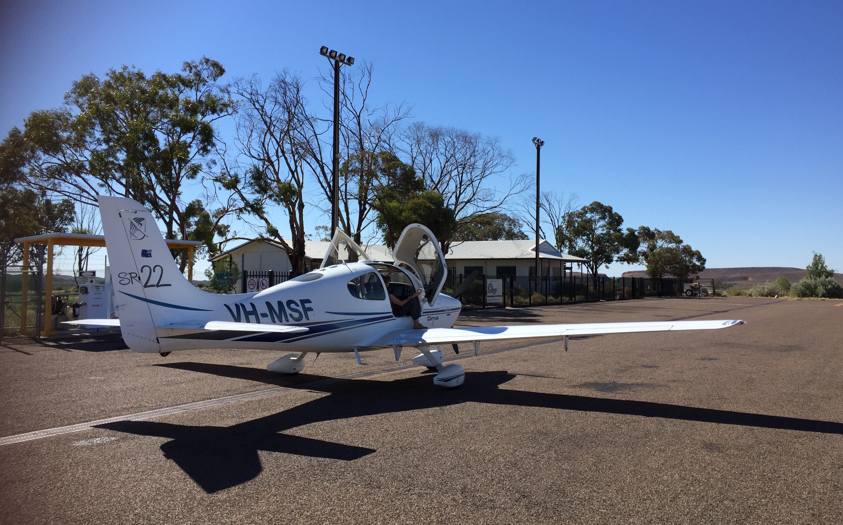
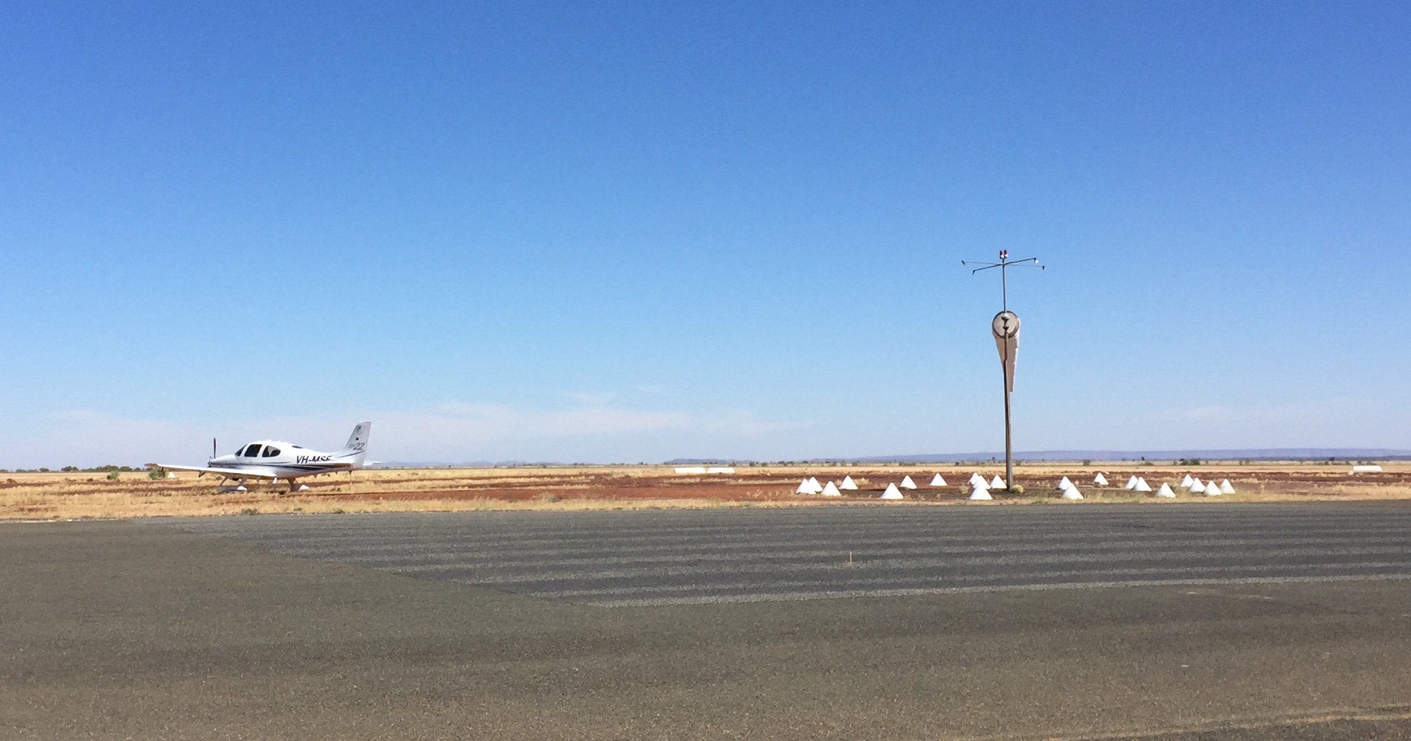
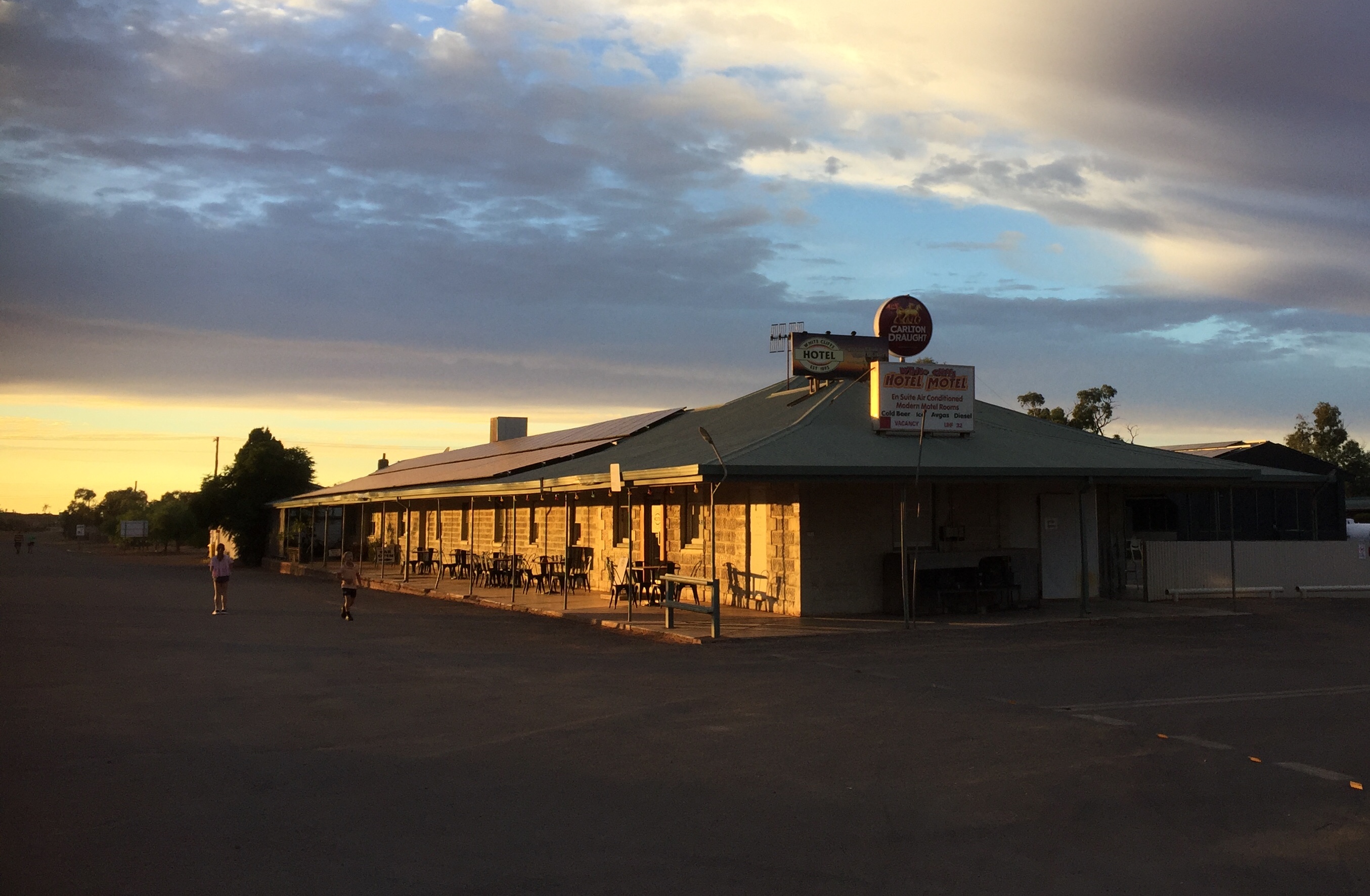
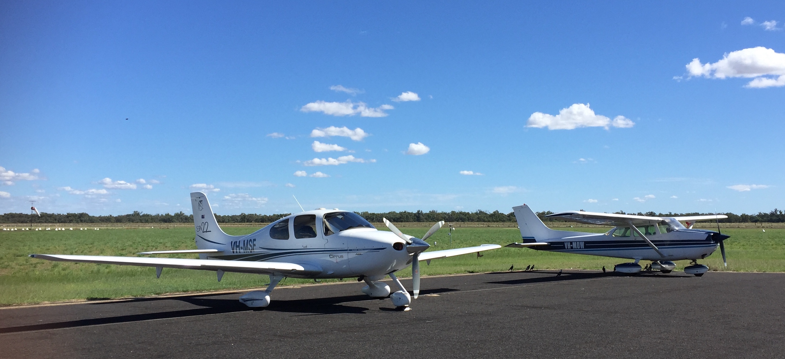
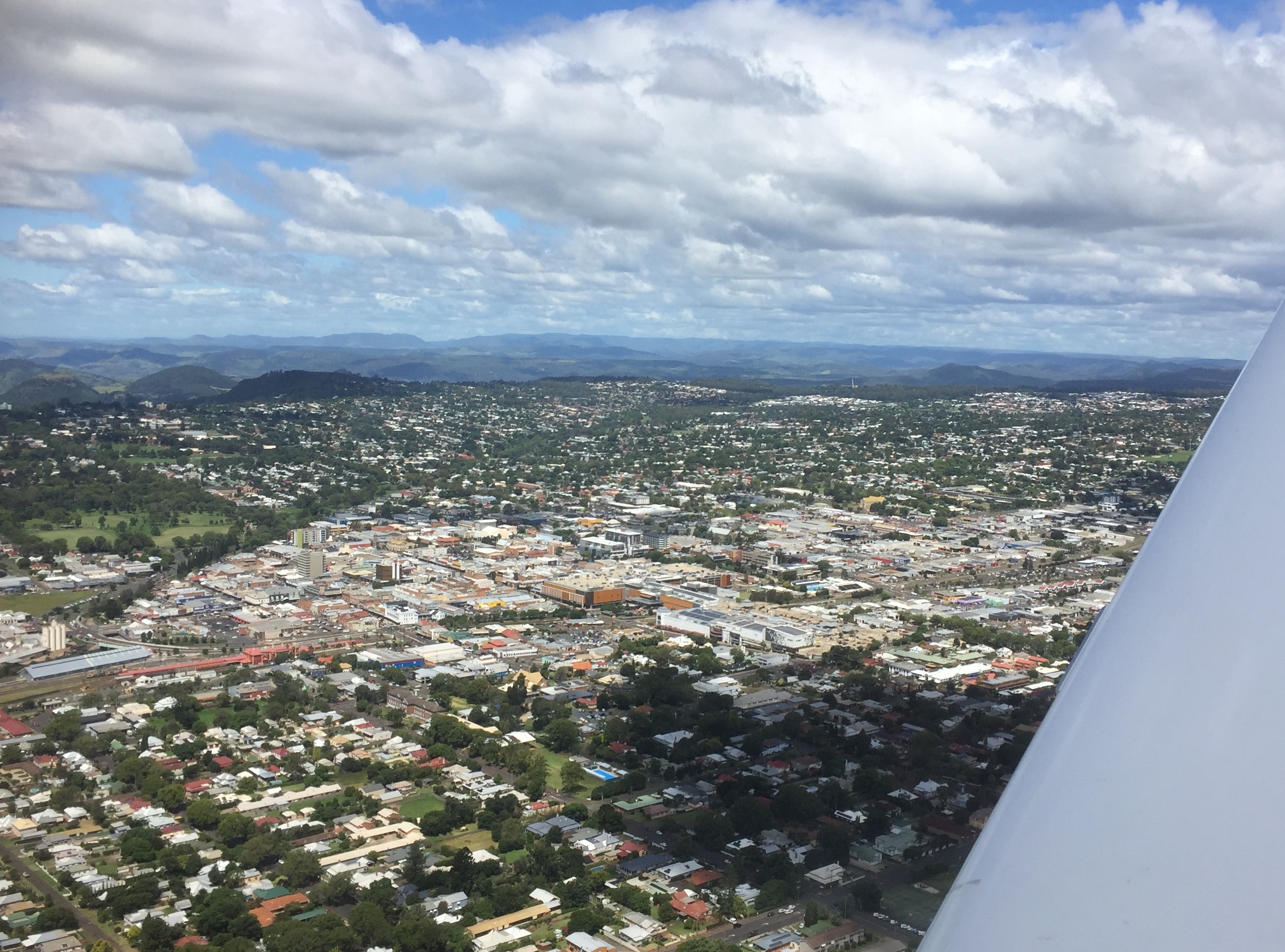
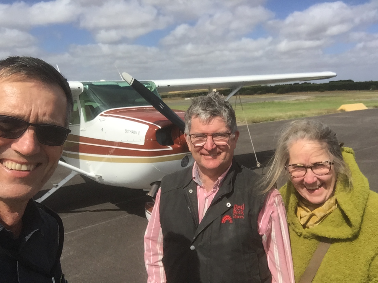
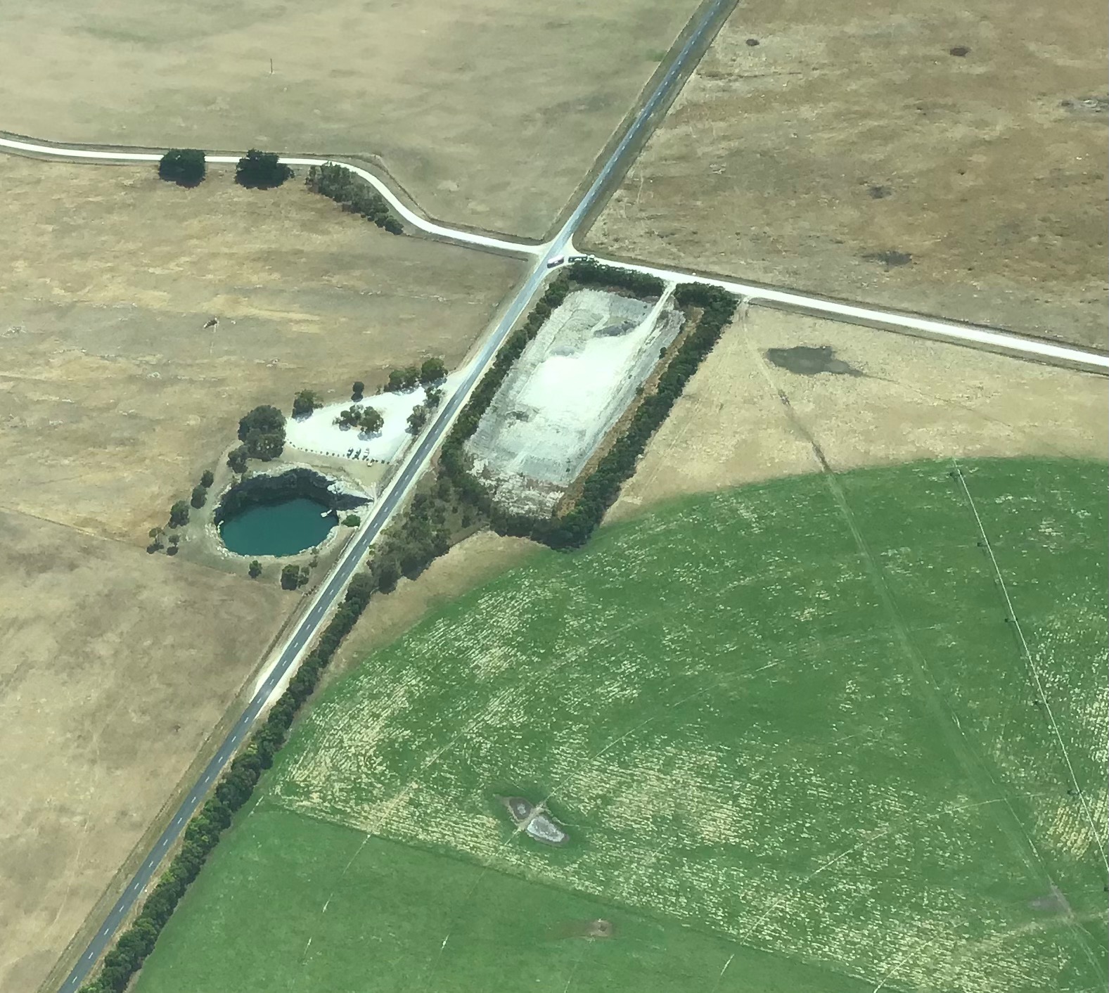
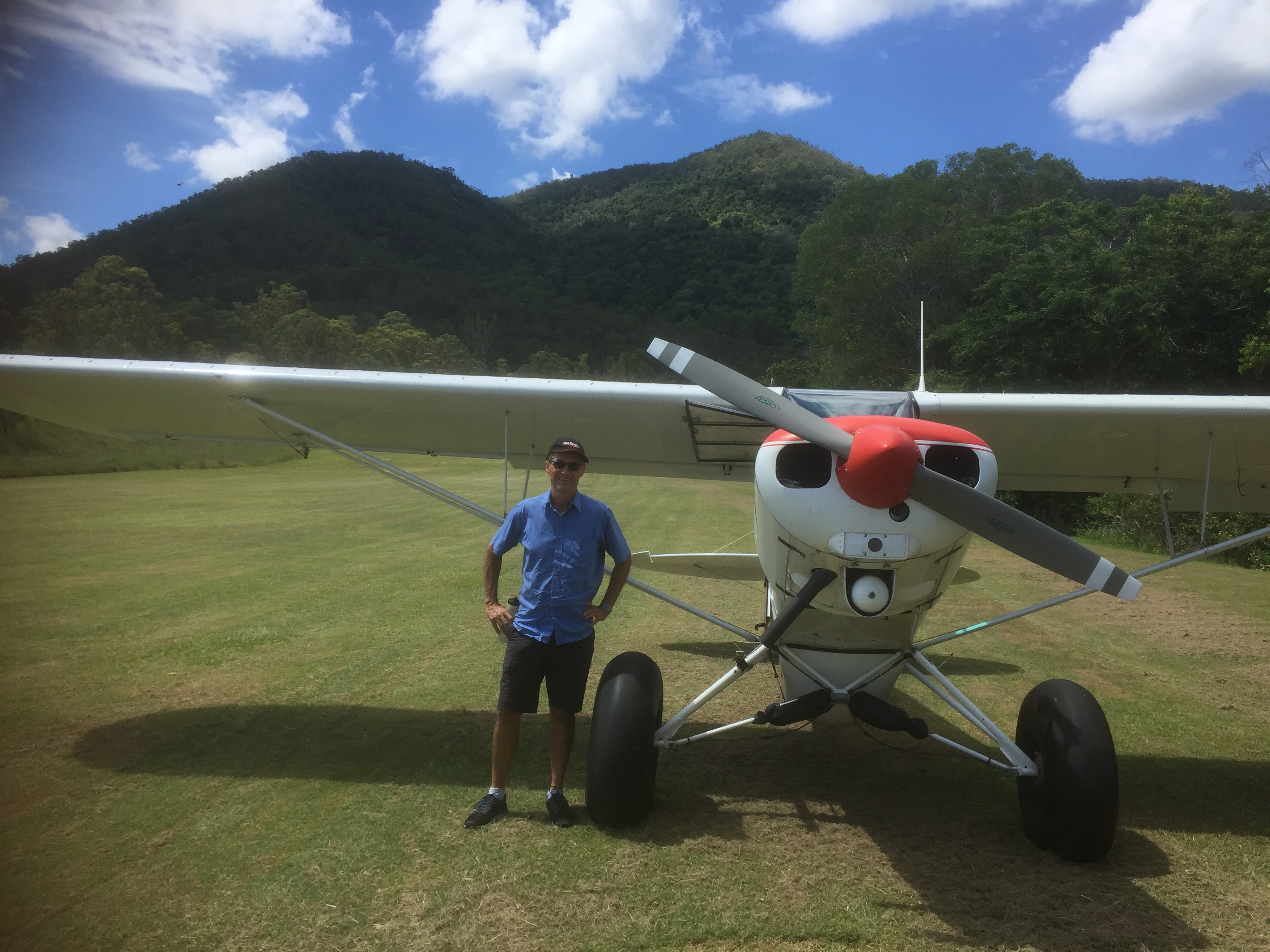
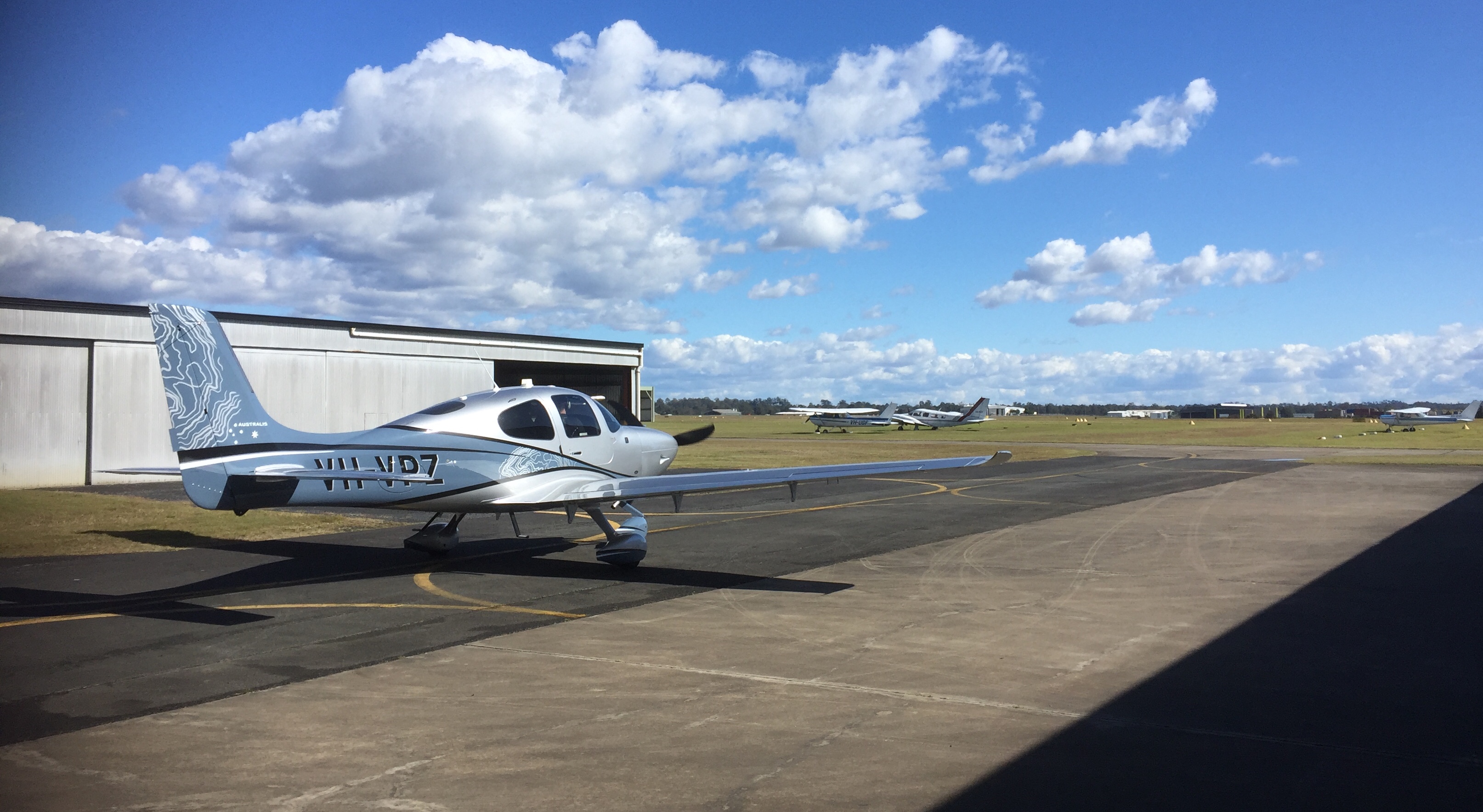
On Thursday 7th July I drove to Archerfield for a 3pm start. Alyce introduced me to VH-VPZ, a G6 Cirrus SR22 with just 50 hours on the clock. It was delivered in November 2021 and is effectively brand new. The basic aircraft is very similar to MSF but there are some enhancements such as an improved wing design, remote door locking, an anti-icing system than can release de-icing fluid onto the wing leading edges and an air conditioning system, along with the Perspective Plus avionics.
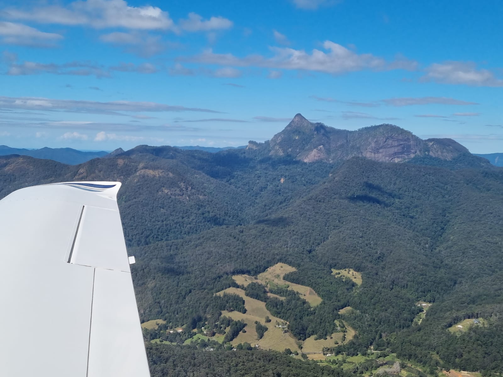
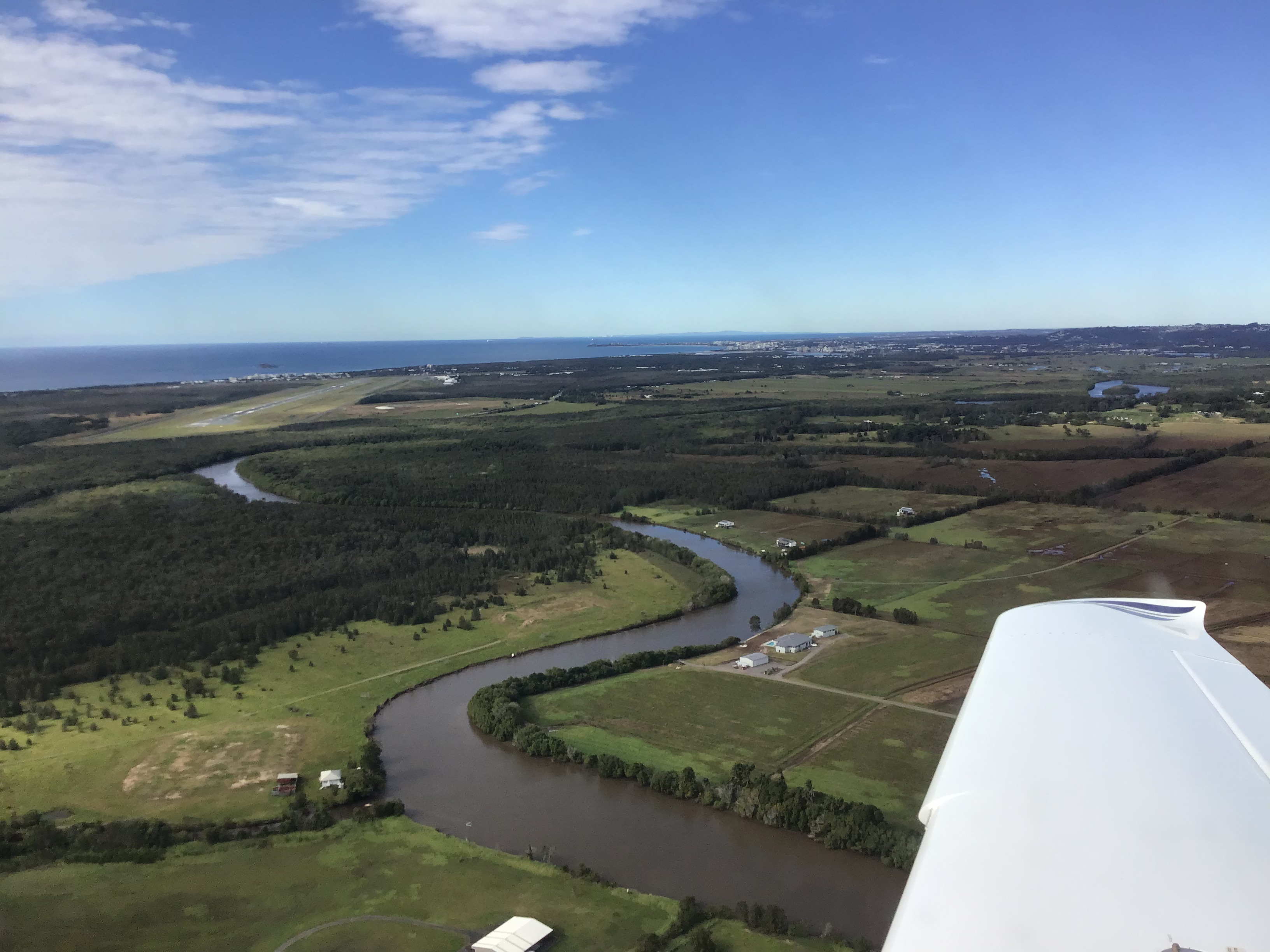
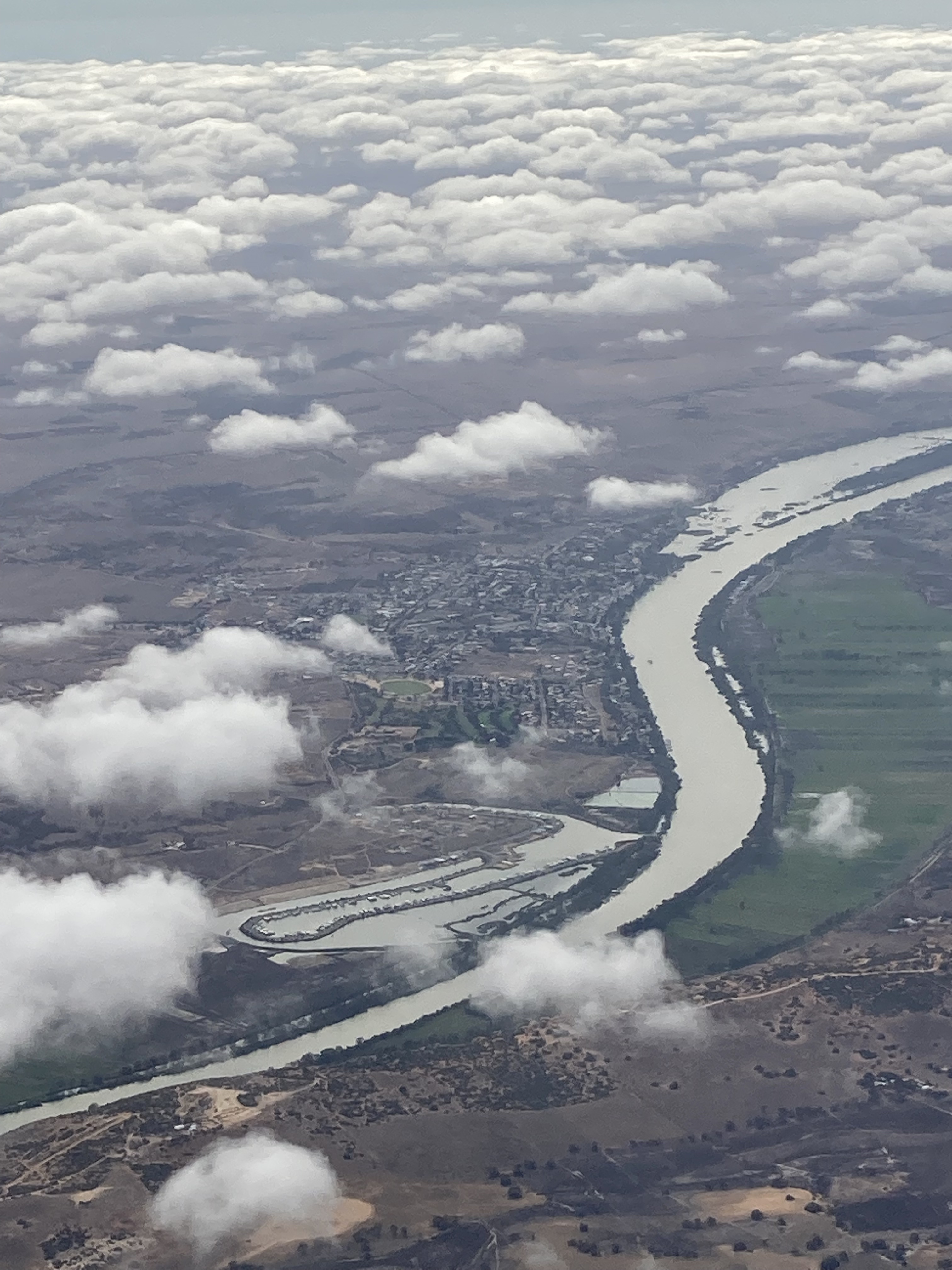
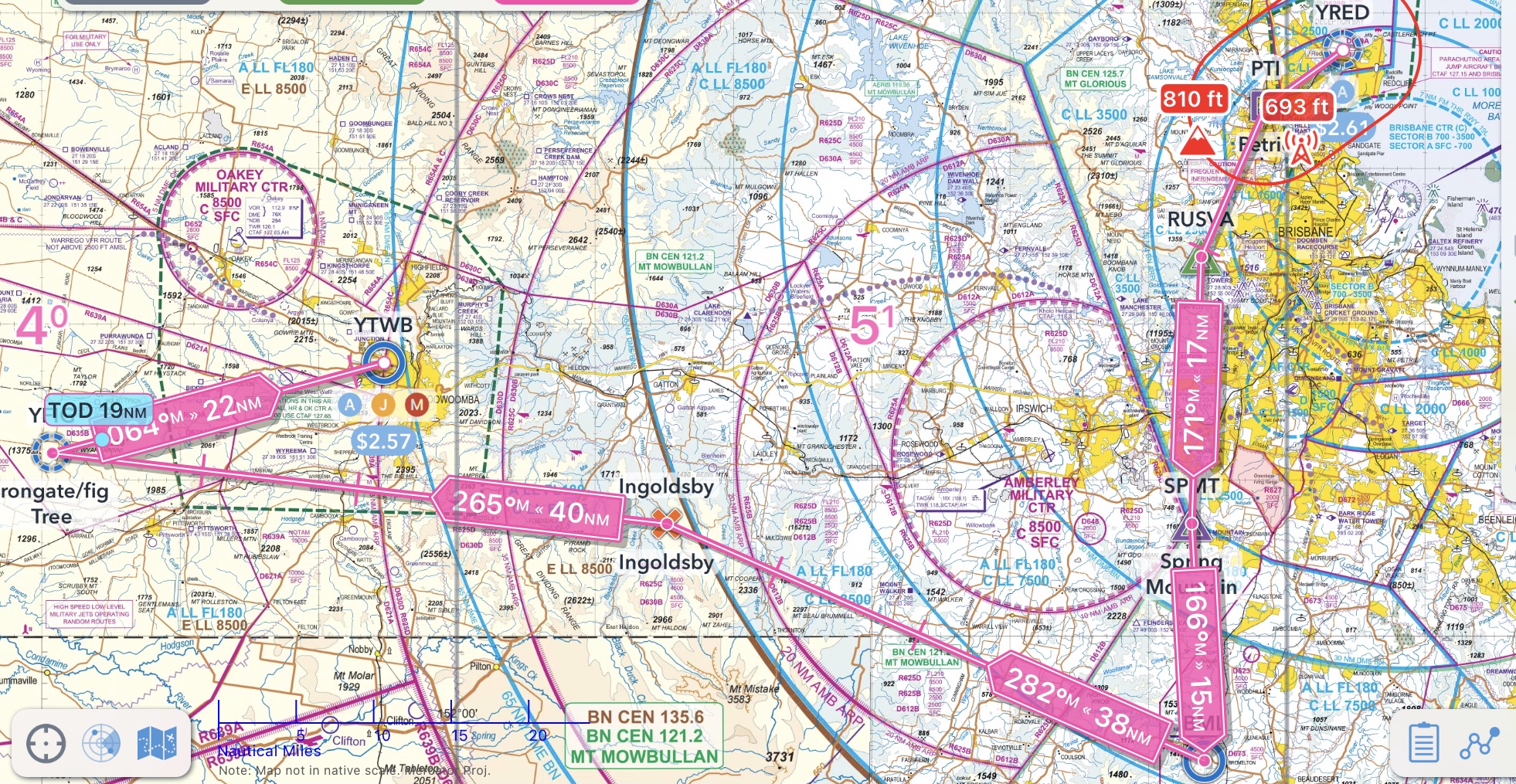
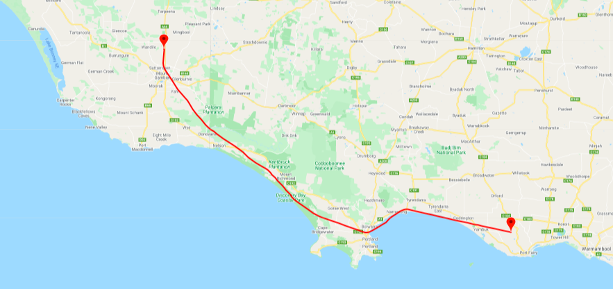
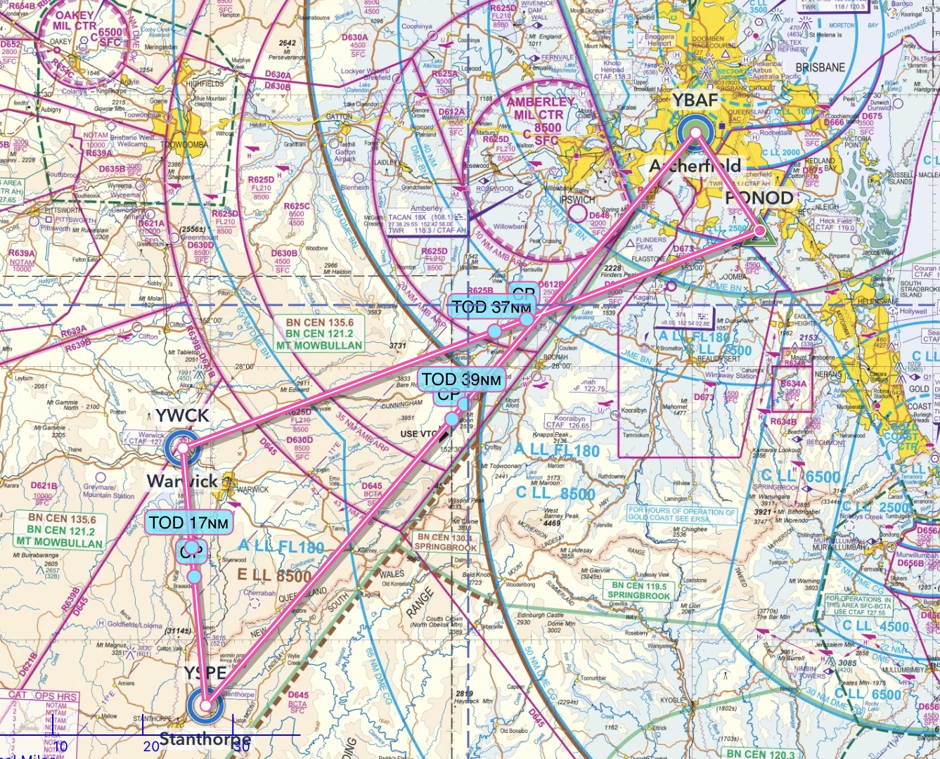
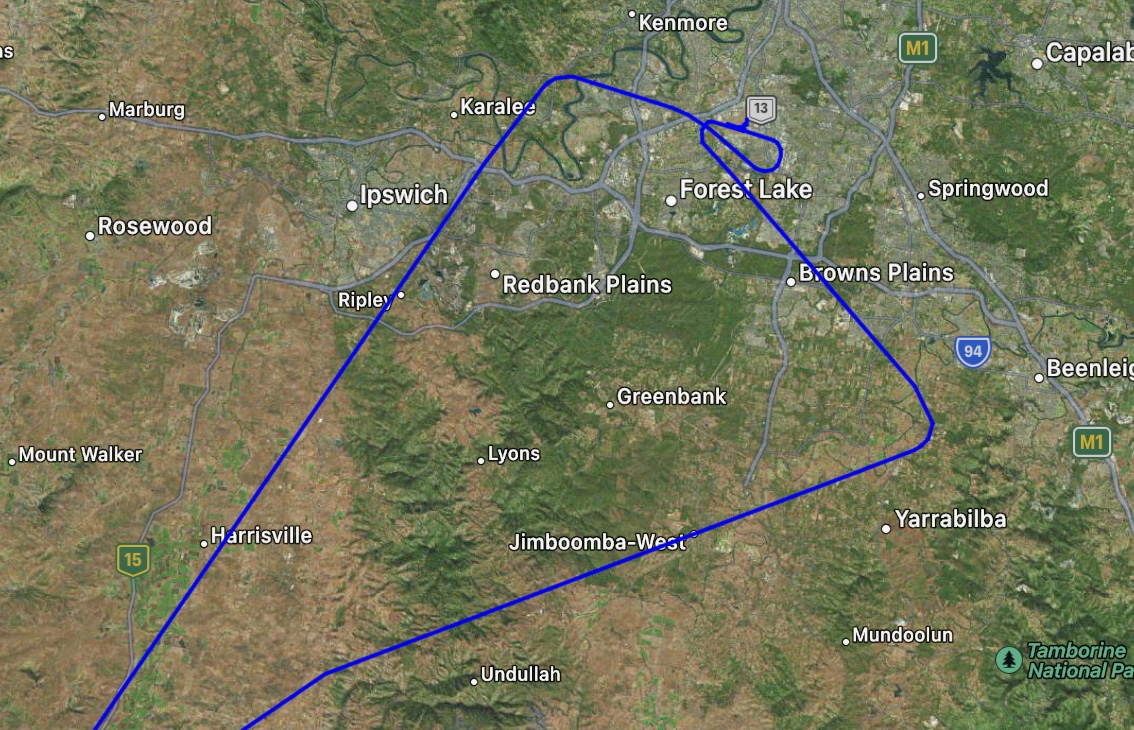
Following my discussion with Marcello two days before, I’d prepared an IFR flight plan with the aim of departing Archerfield VFR and then switching to IFR once out of the Archerfield CTR. We’d depart tracking 135 degrees as specified in ERSA for a southern departure from Archerfield then from waypoint PONOD would fly direct to Warwick for an instrument approach. After doing some circuits there while night set in we’d fly to Stanthorpe for another instrument approach and then return to Archerfield.
I wanted to fly instrument approaches by day and night, complete at least 3 night landings and takeoffs and become more familiar with the Perspective system and its enhanced automation capabilities.
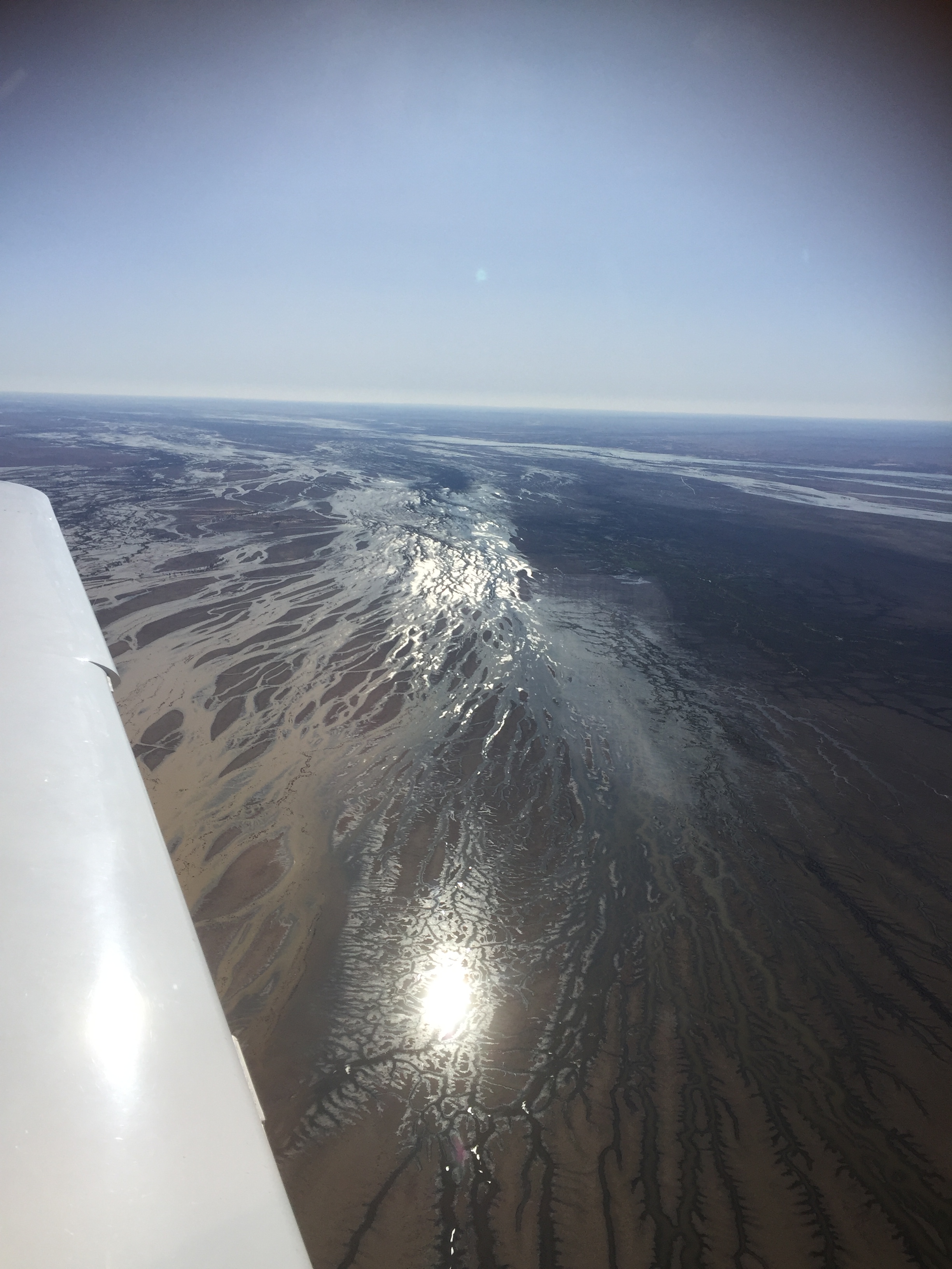
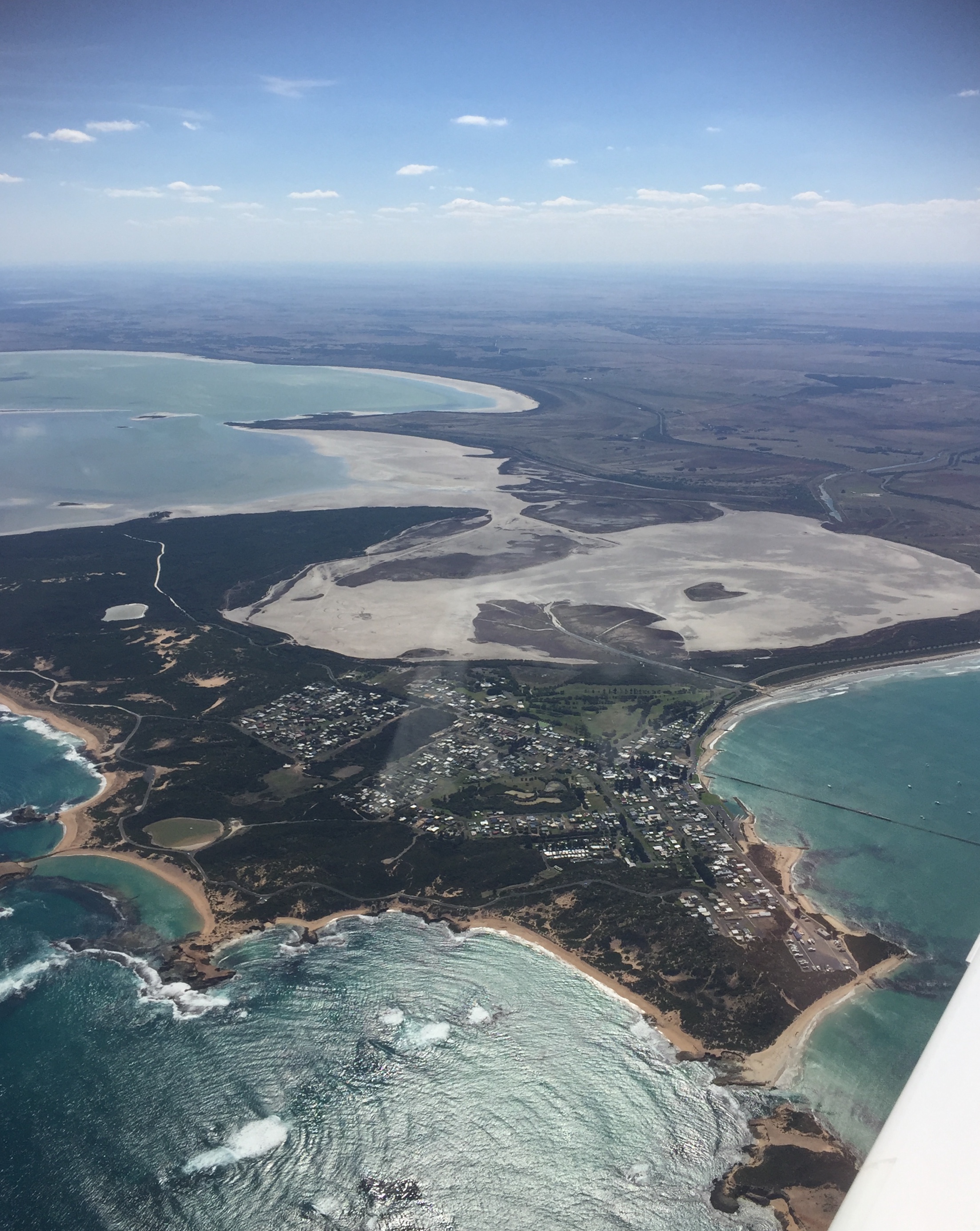
After submitting the flight plan I completed the preflight check in much the same way as I do with MSF. There were a couple of minor differences but nothing significant. With that out of the way we climbed in and started the engine. First task was to obtain a transponder code from Brisbane Centre and advise them that we’d be doing a VFR departure. Why a VFR departure you ask? This allows more flexibility for the air traffic controllers as I would be able to see clearly during the take off (it was blue sky with no clouds) and could provide my own separation from other aircraft. This meant we’d be able to take off more quickly. In an IFR departure we’d need to be slotted between other IFR aircraft including the jets overhead on descent into Brisbane Airport. There needs to be much greater separation in such cases as the air traffic controller is primarily responsible so they err on the side of caution and there’d be more delays. Departing VFR we could take off even if there were overflying IFR aircraft as we’d remain below the controlled airspace. Once we were out of the way of the flightpath into Brisbane Airport we could switch to IFR and climb into controlled airspace for the flight to Warwick. This is one aspect of instrument flying that may seem a bit odd to outsiders. You can fly IFR even if it’s blue skies without any cloud and you can see clearly. It’s just the rules that are different from VFR and they are often more restrictive but can also assist you in certain ways.
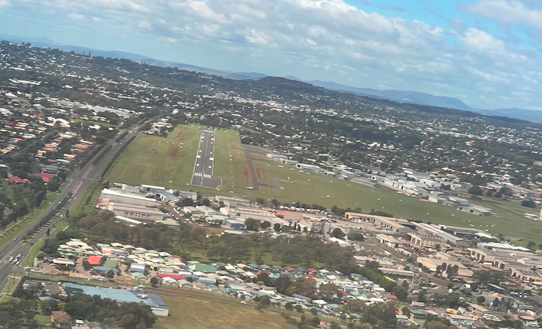
Next task was to request a taxi clearance from the Archerfield Ground controller, allowing us to taxi over to our allocated runway. There was a strong and gusty westerly wind blowing so that would be RWY28R. They’re doing an upgrade to the apron at Archerfield, so it can carry heavier aircraft so parts are blocked off and it was a bit of a winding route to reach the temporary run up bay. Finally we were ready at the holding point and Archerfield Tower gave me the clearance to take off.
Climbing out we turned left and headed out on a track of 135 degrees. Archerfield Tower handed us over to Brisbane Centre who identified us on their radar and then confirmed we wanted to switch to IFR and told us to remain outside controlled airspace. They then transferred us to Brisbane Departures who cleared us from our waypoint PONOD direct to Warwick at 6000ft.
I wanted to fly the Required Navigation Performance (RNP) instrument approach at Warwick so once we were at 6000ft I requested traffic directly to the waypoint Echo Bravo. There was another aircraft completing the same instrument approach ahead of us so it made sense to delay our landing for a few minutes by flying the holding pattern. As we approached the waypoint I went through the “QADCAPS” mnemonic (check QNH, check that the nav Aid is available (the GNSS system uses a system called RAIM to ensure there are sufficient satellites available to provide the necessary accuracy), check the compass and DG agree, brief the Chart (below), confirm the Audio frequencies, use the radio to switch on the Pilot activated runway lights, and reduce Speed to about 120 knots).
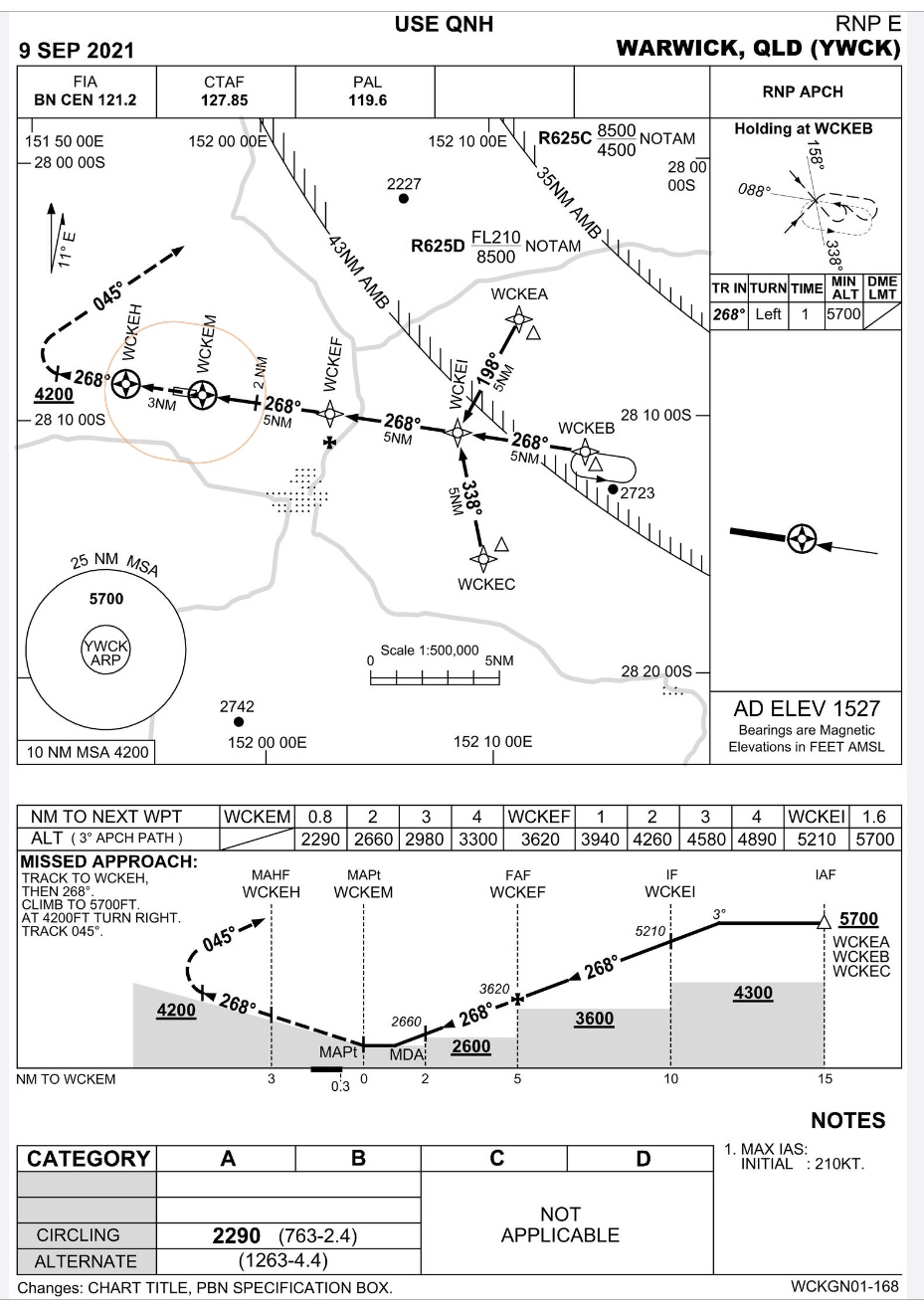
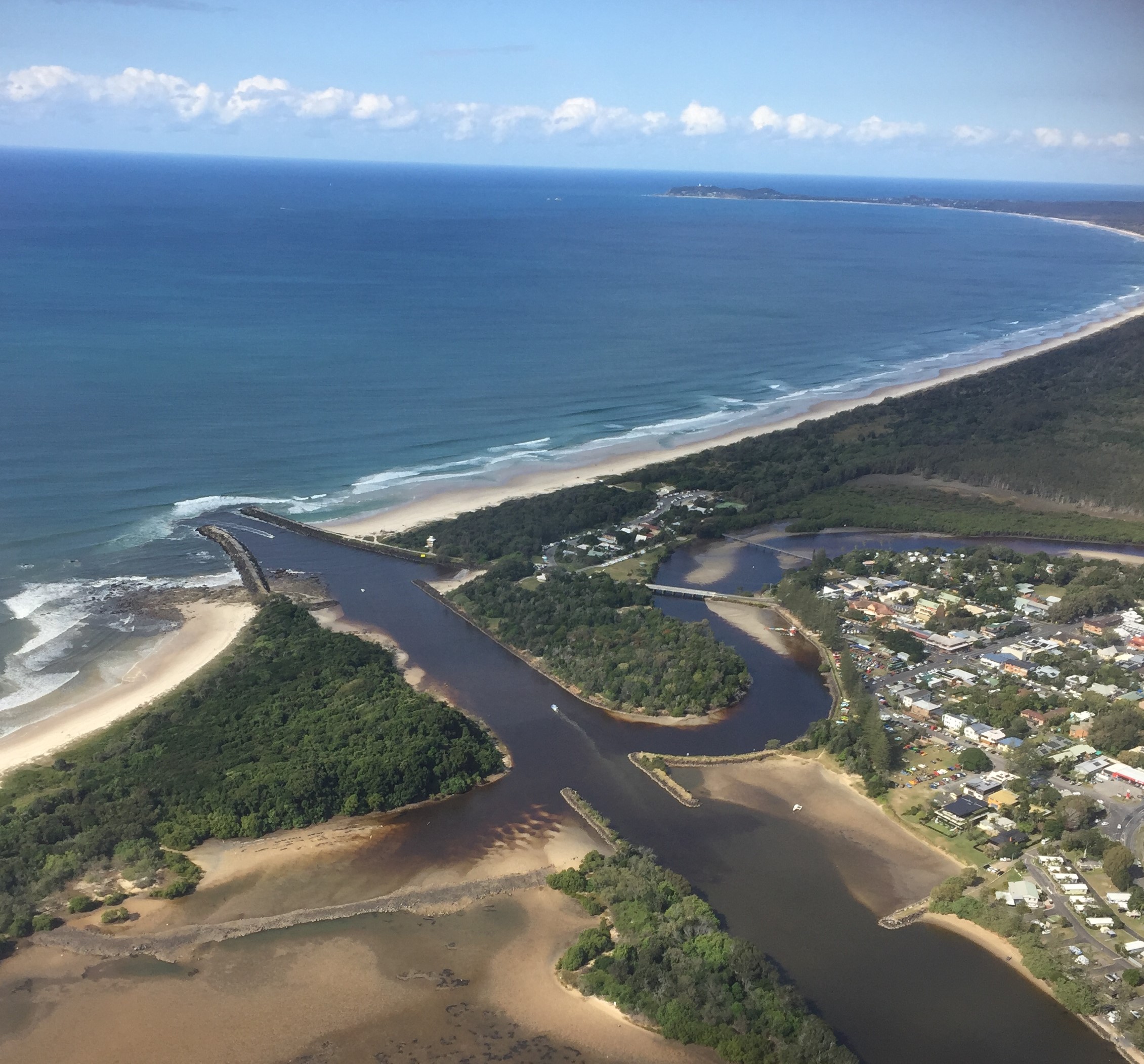
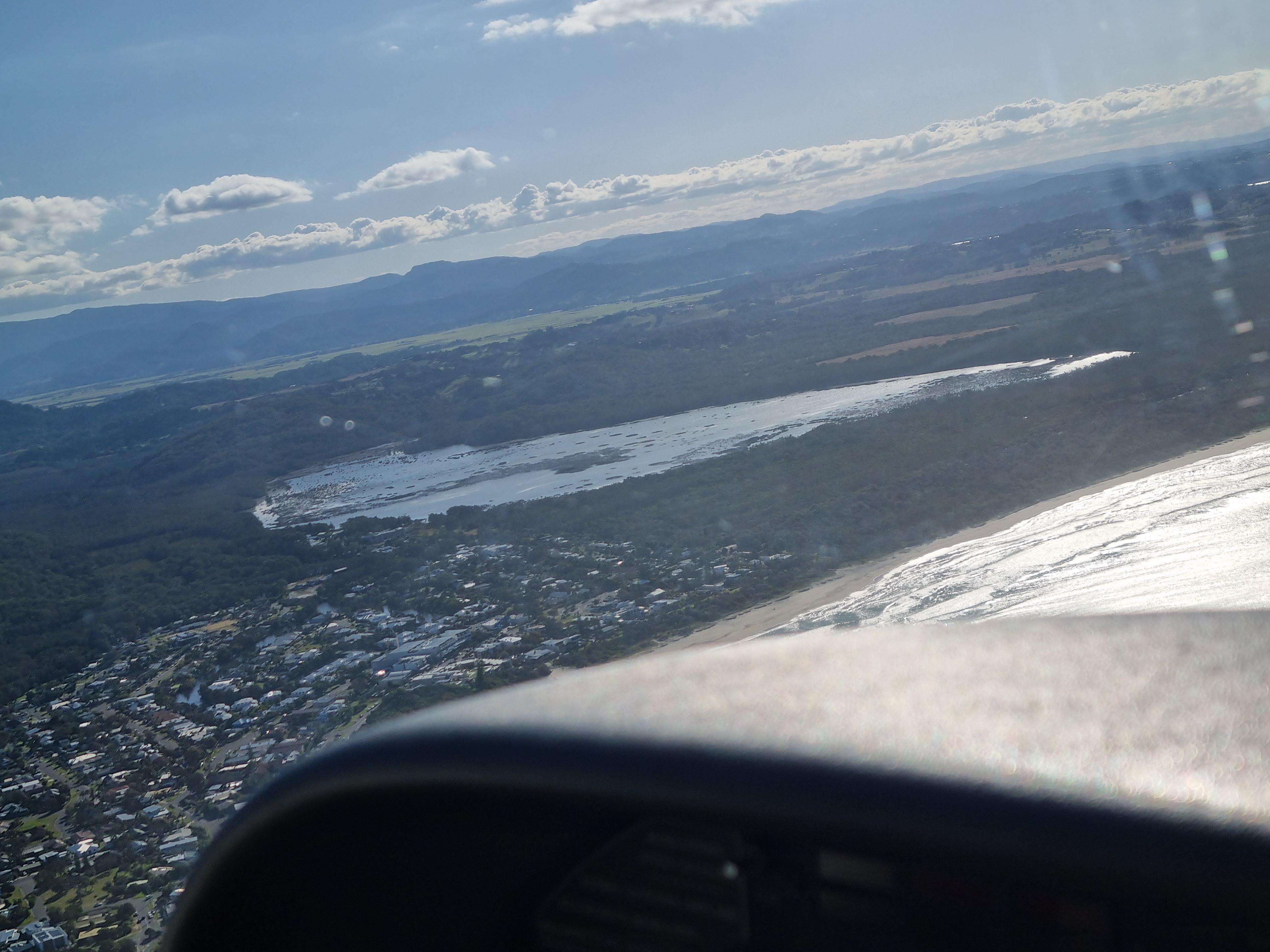
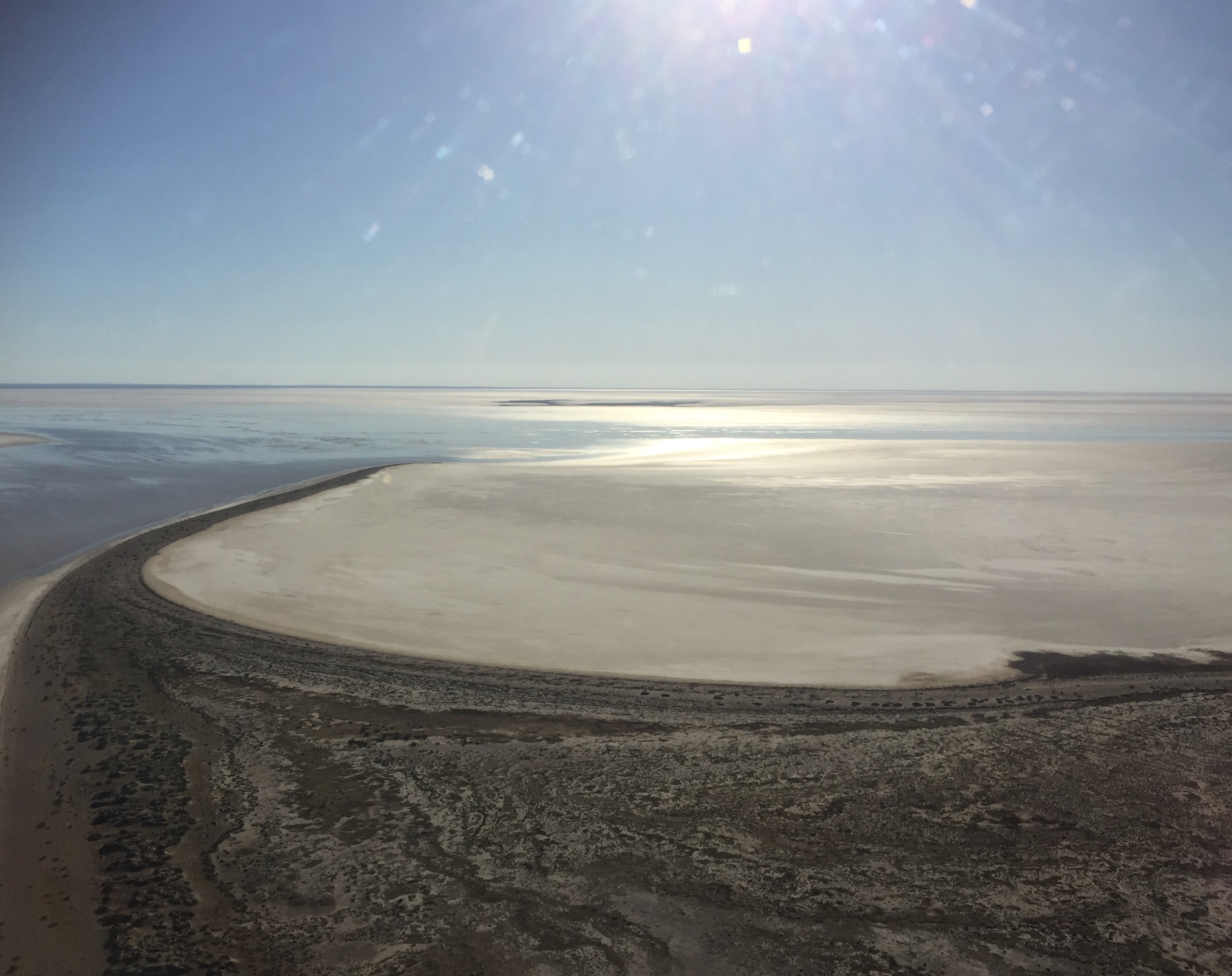
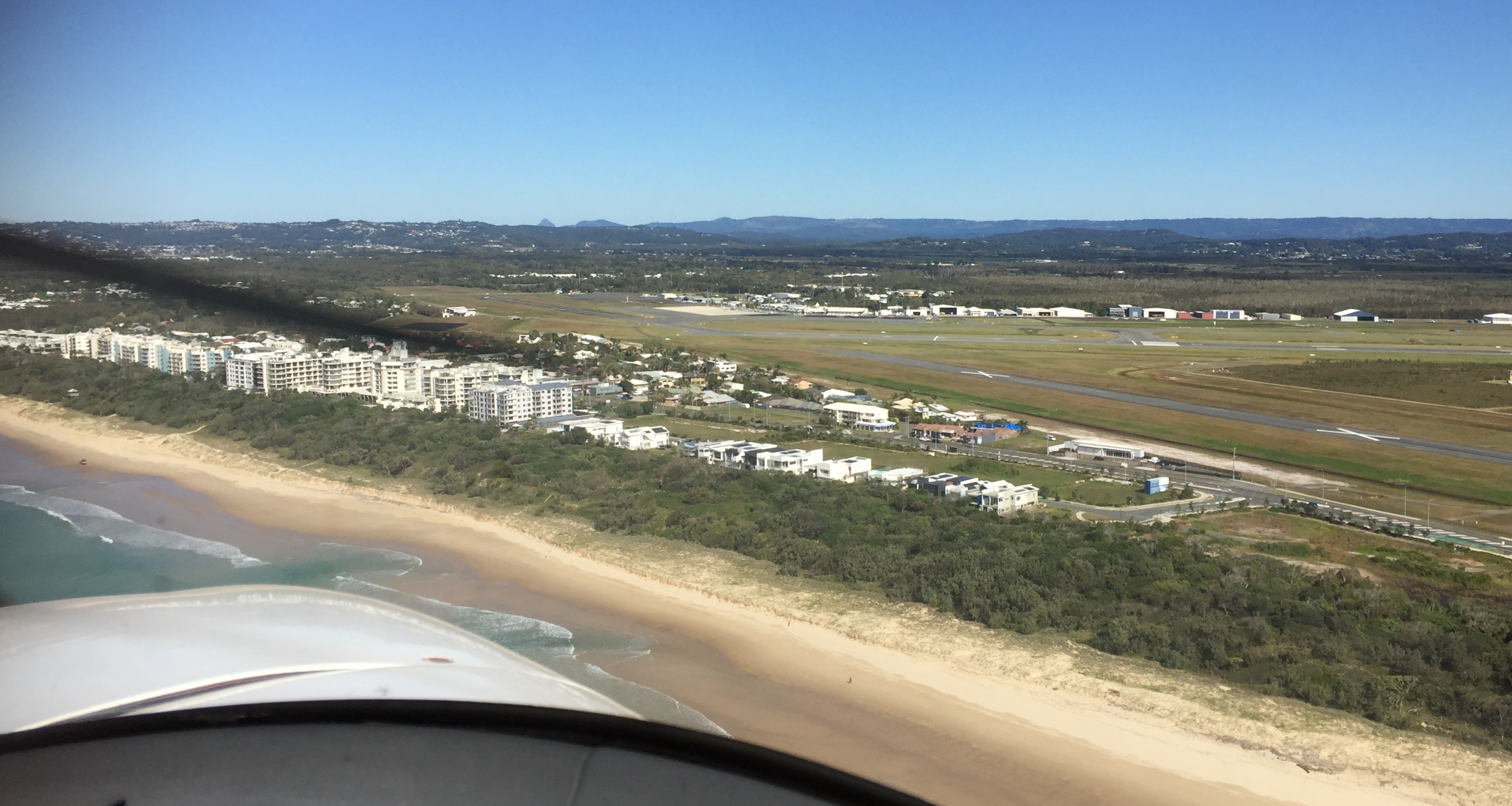
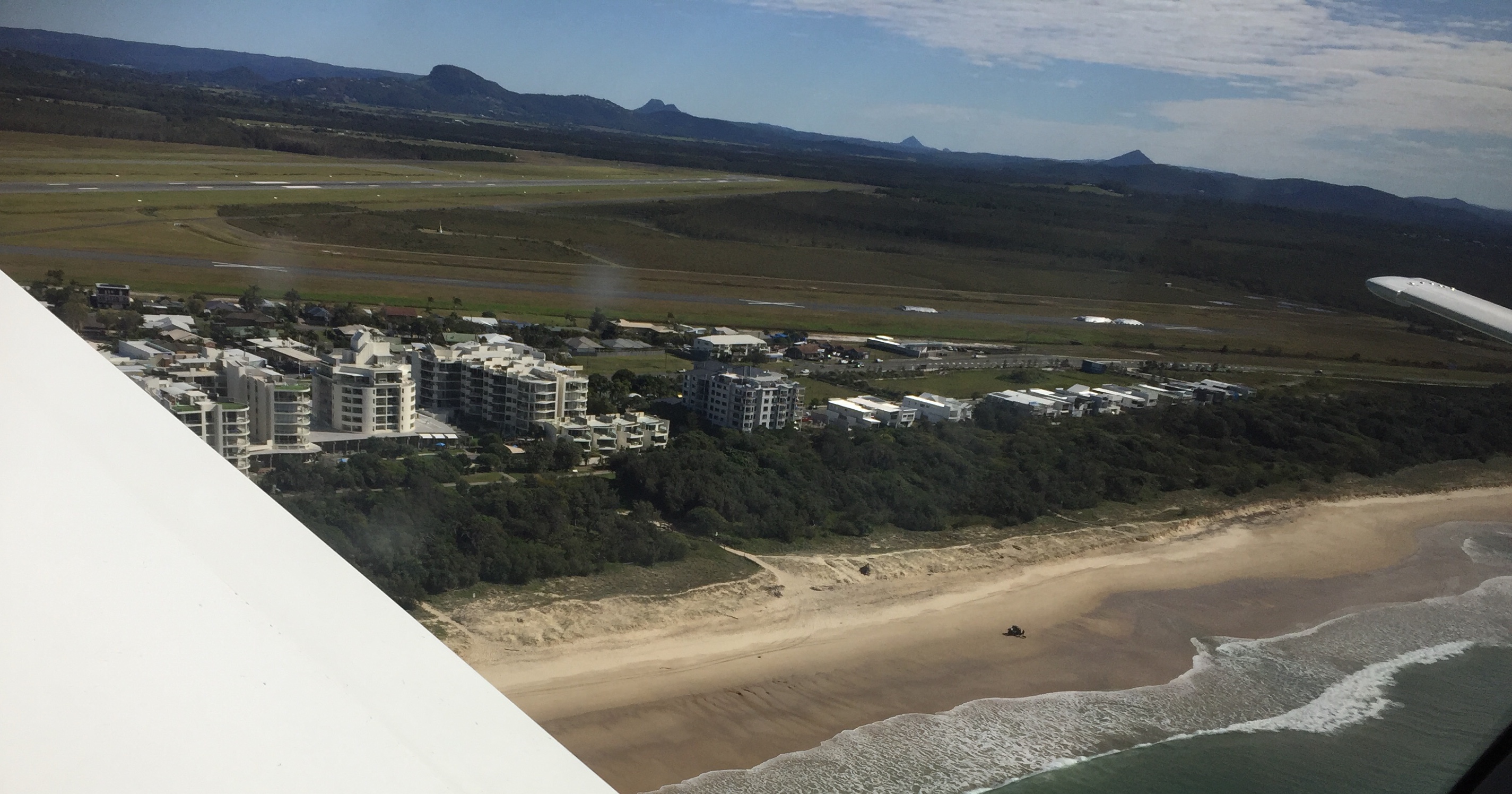
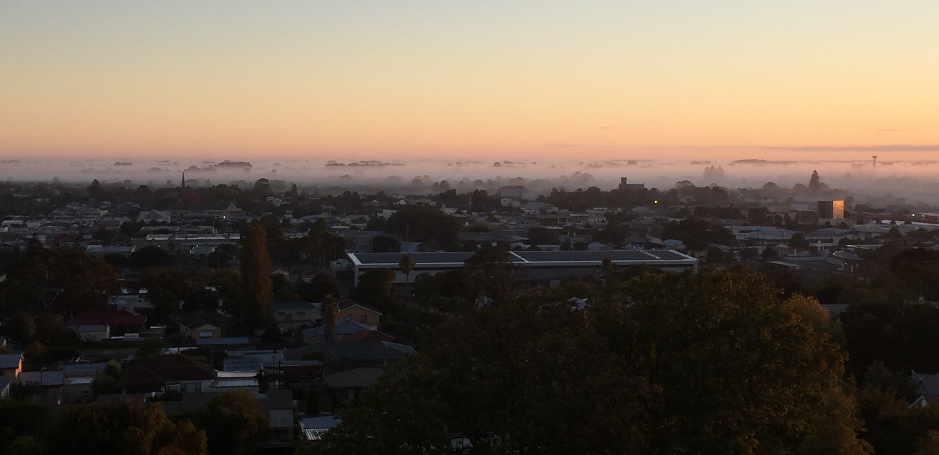
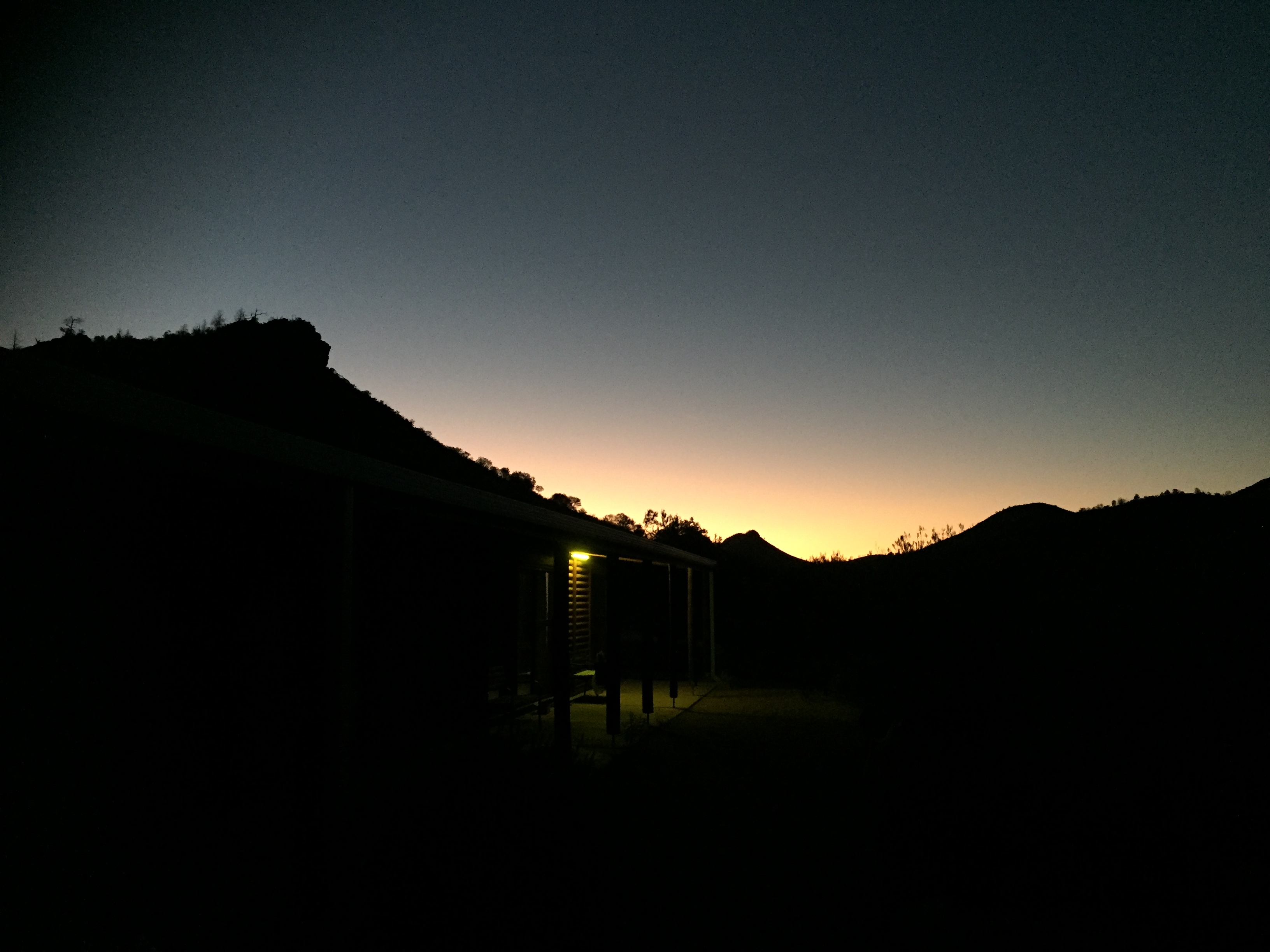
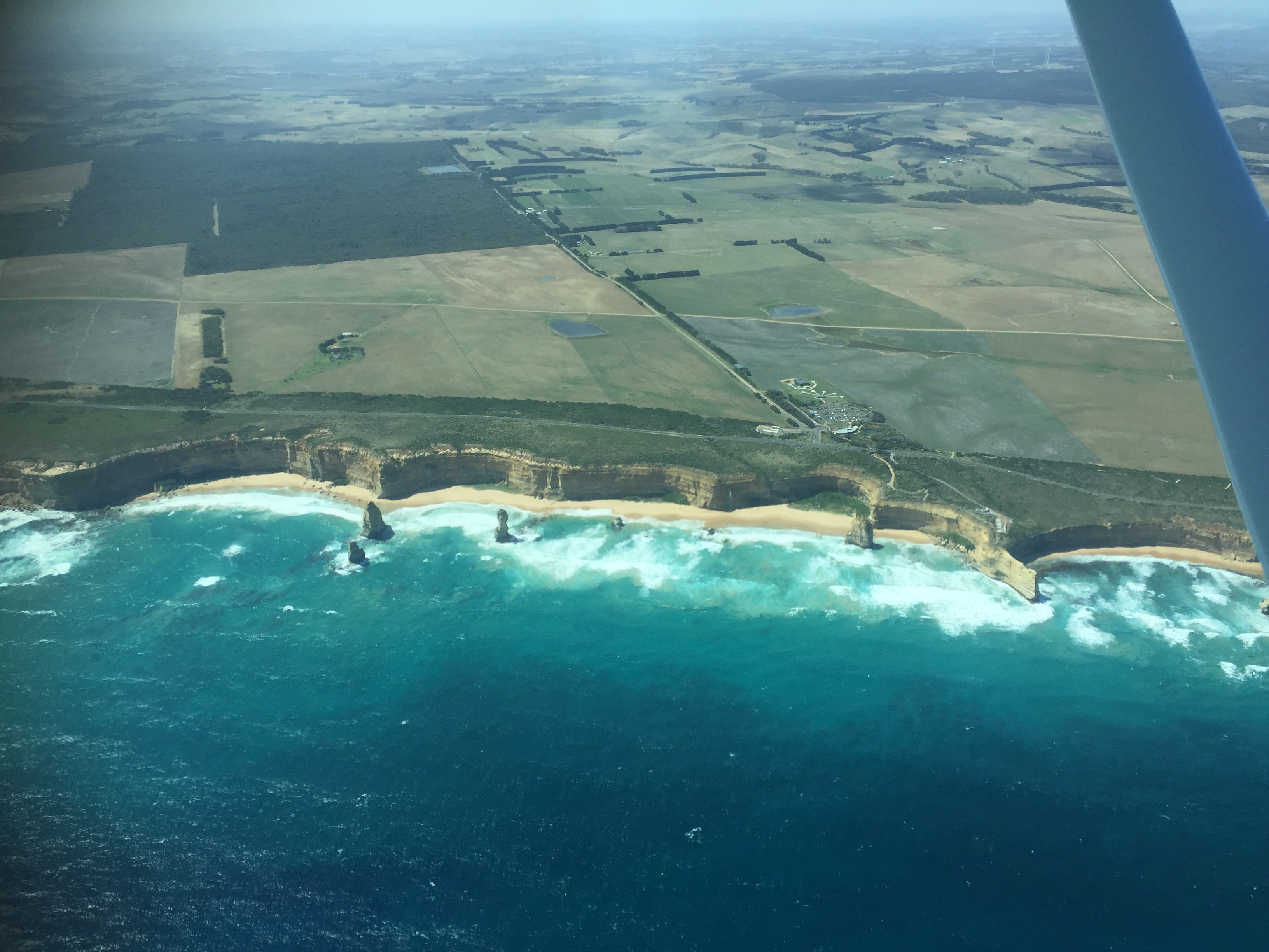
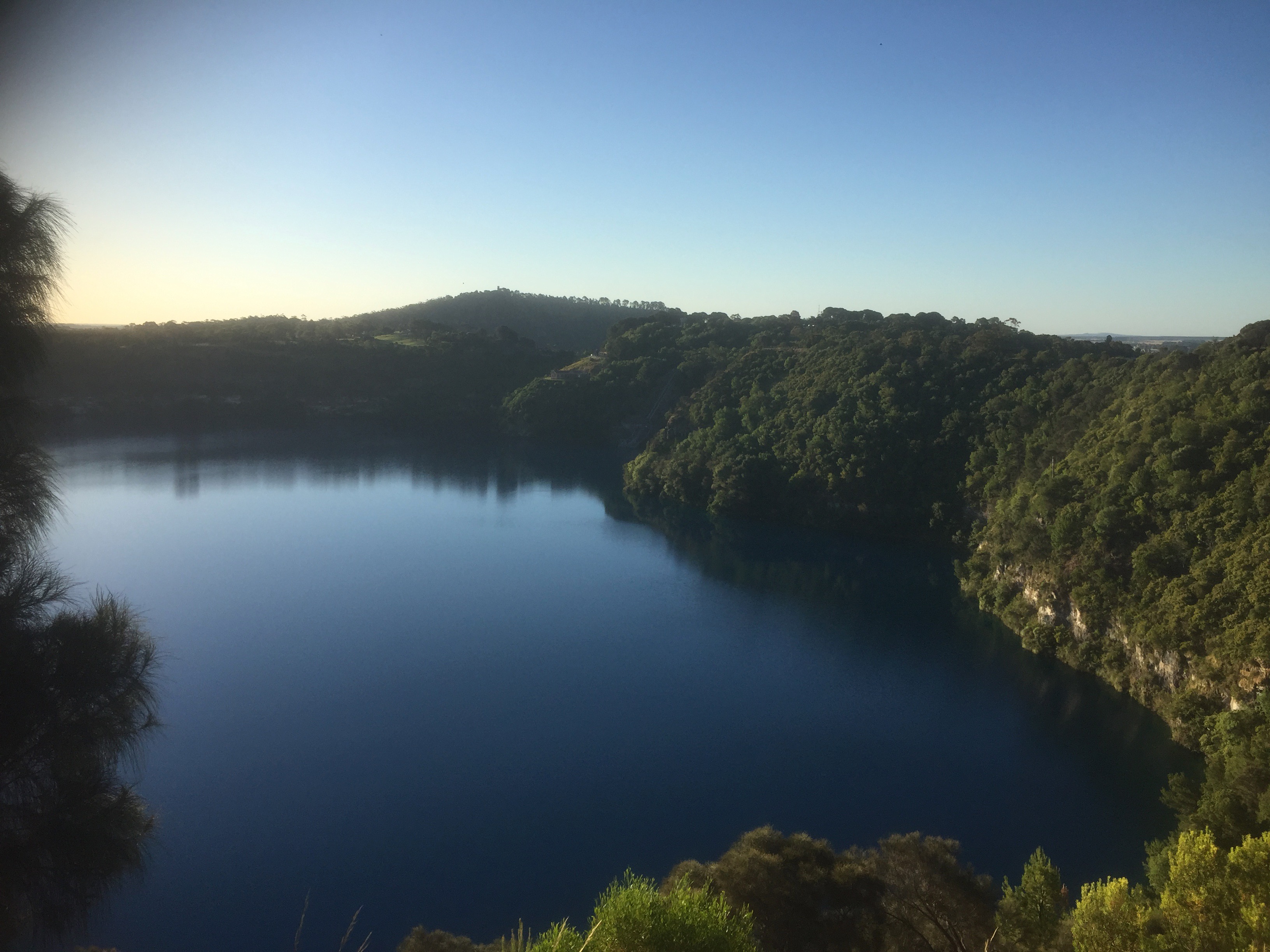
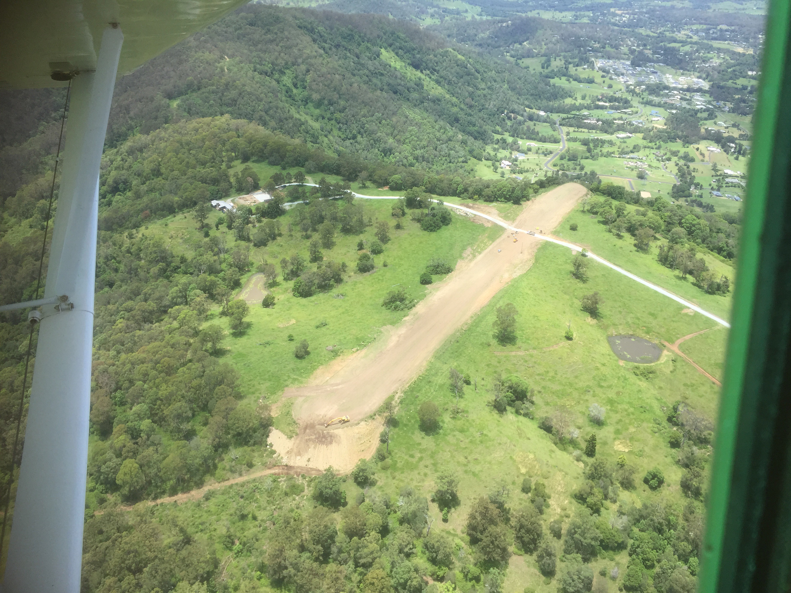
Arriving at waypoint Echo Bravo I turned left and completed one holding pattern manually. Alyce offered to show me how to let the system do it automatically but I wanted to do at least one of them in manual. Once we turned back onto the inward track to the waypoint I used the avionics to identify the top of descent and at the appropriate point we began to descend to the runway. The sun was just above the horizon and straight ahead of us as we flew in, making it difficult to see the runway. Just as well we were doing an instrument approach! The RNP approach had a circling minimum descent altitude (MDA) but no straight in approach one, so I did a circling approach, joining midfield crosswind and then completing a touch and go landing on RWY 27 as the sun set in the west.
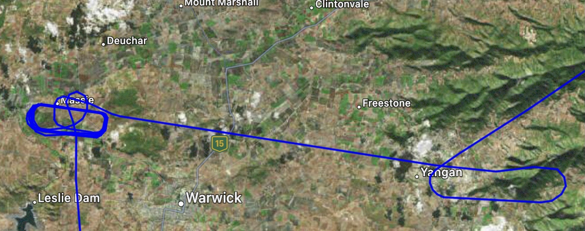
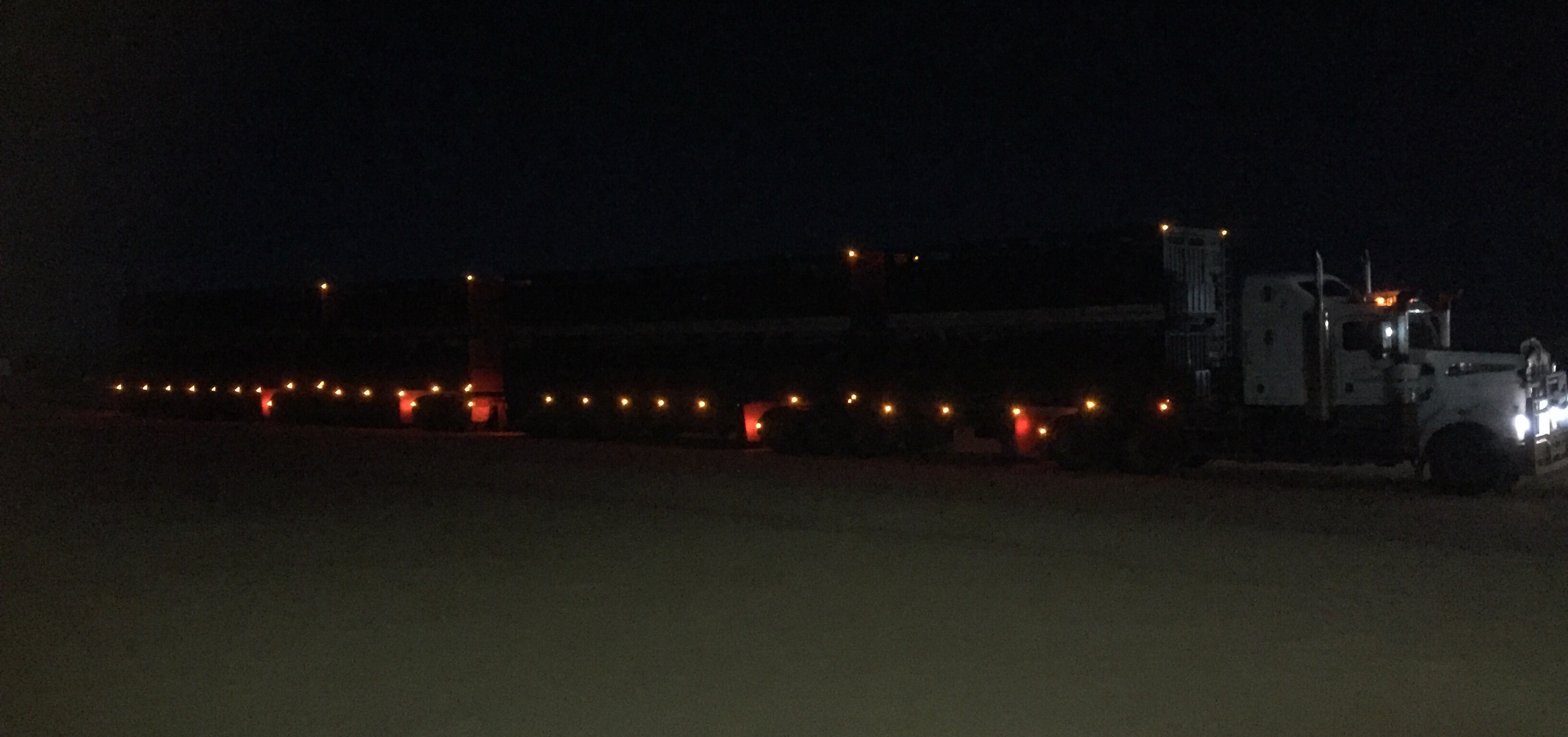
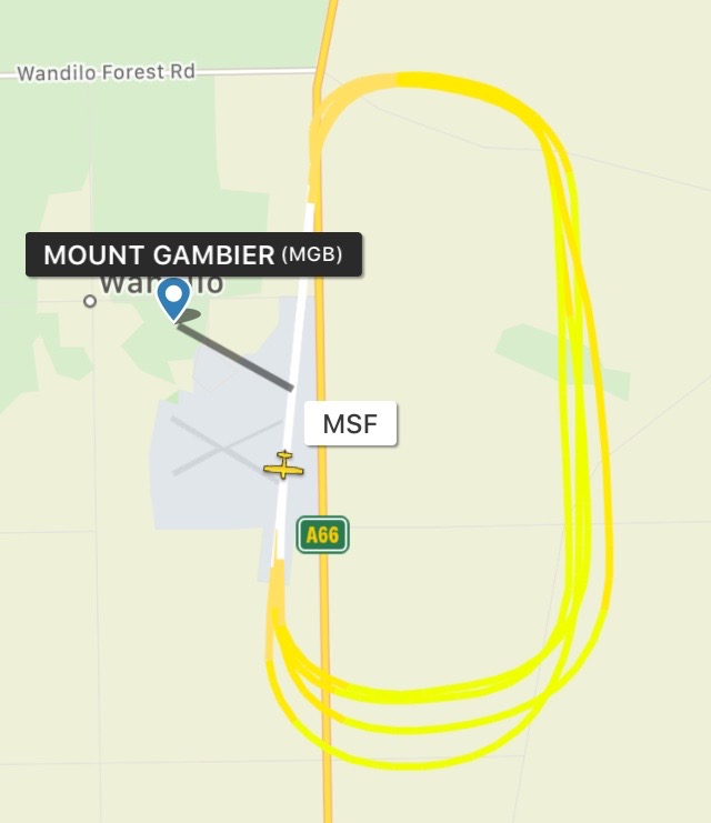
Over the next 20 minutes I completed 6 circuits, with 3 touch and go landings in the decreasing light directly towards the glowing sky, and 3 more at night with only the runway lights to guide us in. The remaining light in the sky added an extra challenge as the runway lights were almost invisible in contrast to the sky.
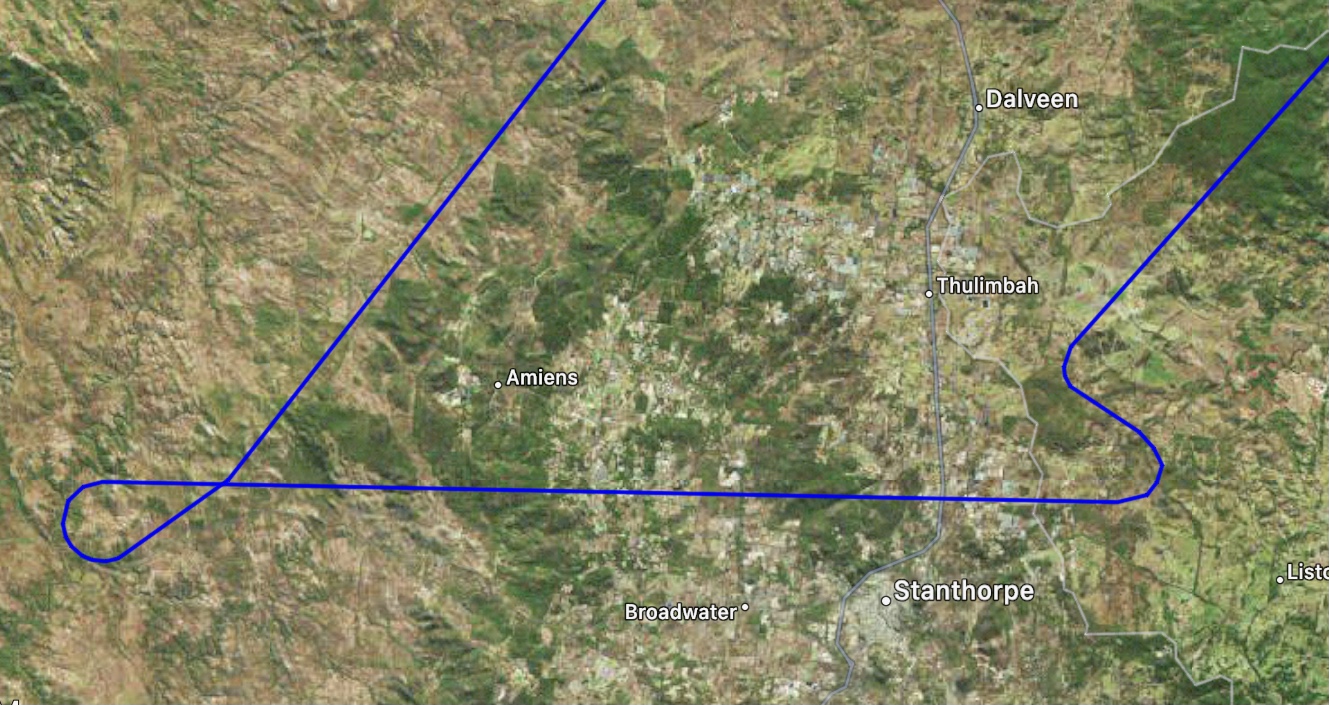
On completing the sixth touch and go, we climbed within the circling area to the 10 mile lowest safe altitude of 4200ft before tracking for Stanthorpe, climbing to 6000ft. At 25 miles out of Stanthorpe I asked ATC for traffic direct to the waypoint Whiskey Echo on the RNP for RWY08.
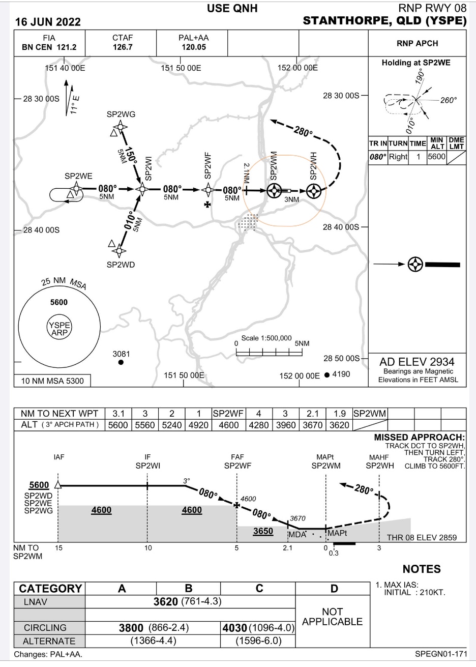
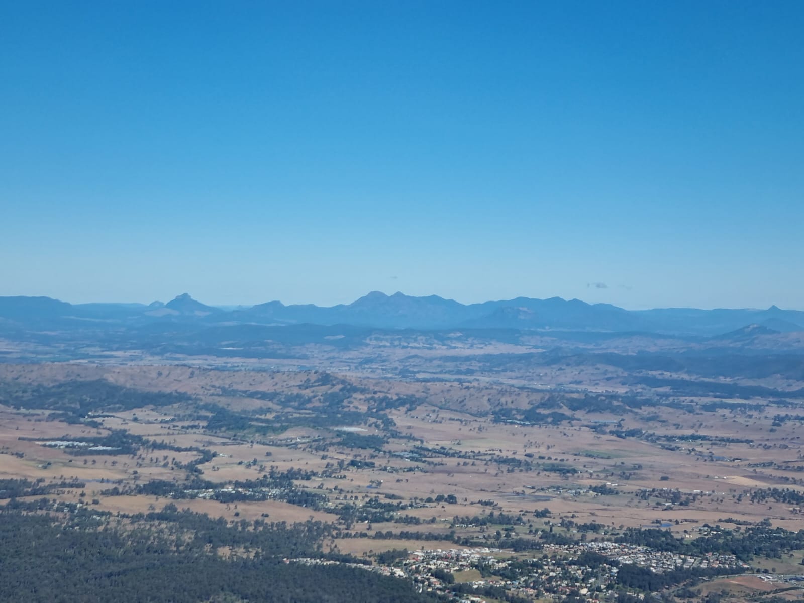
There was a bit of cloud and some rain as we flew the short leg to the waypoint. Based on our heading as we reached the waypoint I had to fly a sector 2 entry (tear drop) after crossing WE, requiring us to fly out at 230 degrees (30 degrees less than the inverse of the inward bound flight track of 080 degrees) for one minute and then turning right onto the 080 track towards the runway, all in the dark and IMC (cloud). We crossed waypoint Whiskey India and descended through the clouds to the runway, which eventually appeared as we emerged from the cloud. This time the runway lights were much brighter and easier to discern from the surrounding blackness. Alyce had suggested I demonstrate a missed approach on this one so on reaching the minimum altitude of 3670 ft (the chart showed 3620ft but there was no forecast QNH for Stanthorpe, only the area QNH, so had to add 50ft to the value on the chart) I levelled out, added some power and continued to the missed approach point. Then it was full power, nose up, flaps up and climb to waypoint Whiskey Hotel, then make a left turn and continue the climb on a track of 280 degrees to the lowest safe altitude of 5600ft.
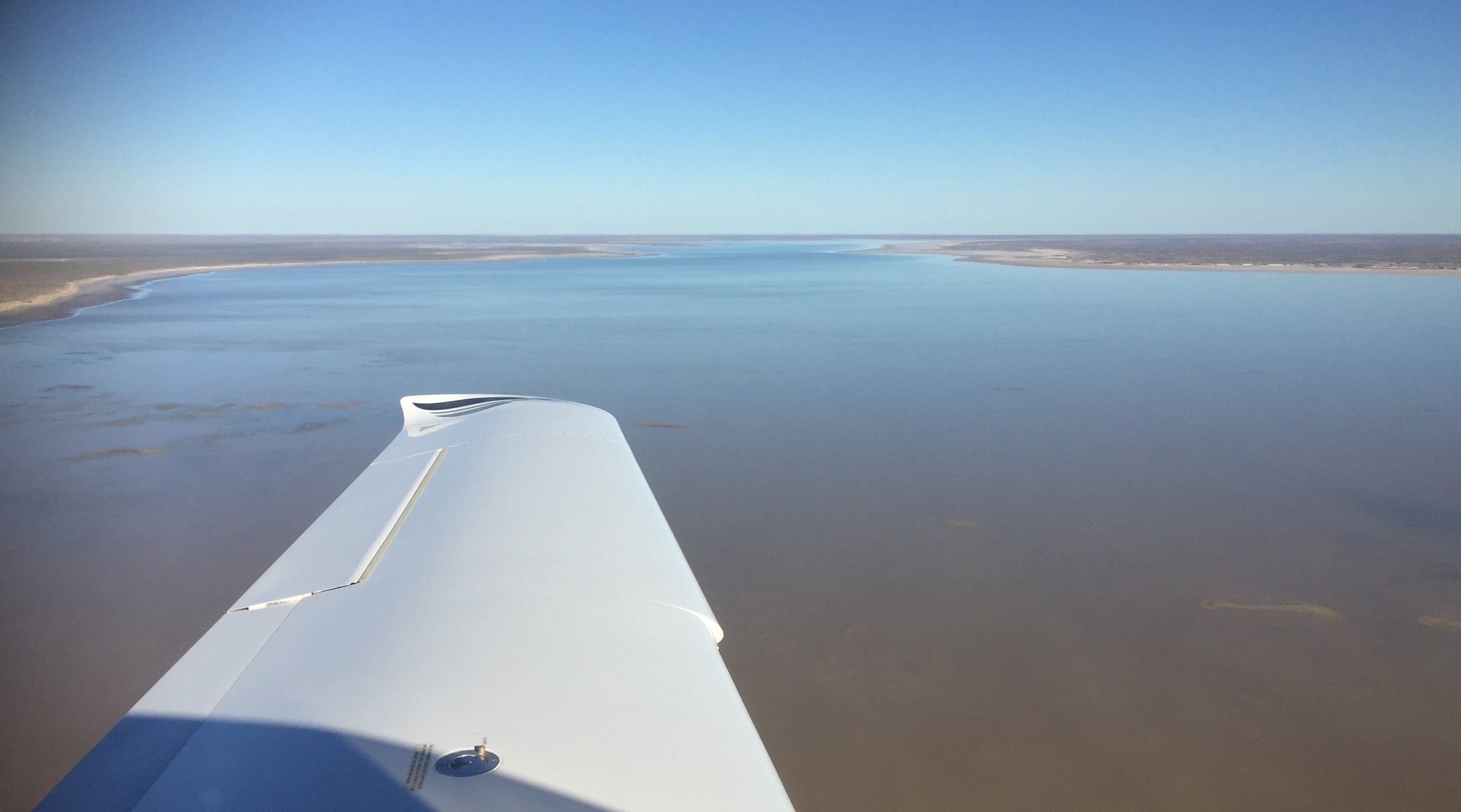
Once we reached 5600ft we could turn and track direct for Archerfield while continuing the climb to our cruise altitude of 7000ft.
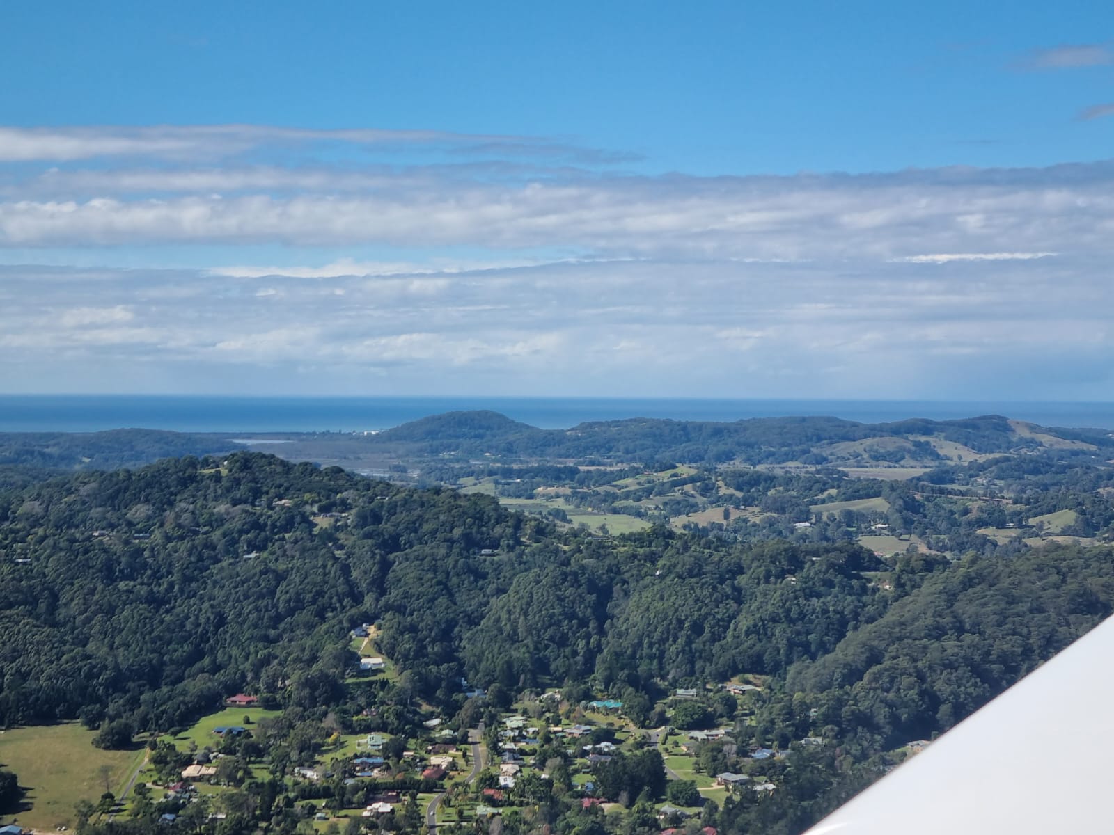
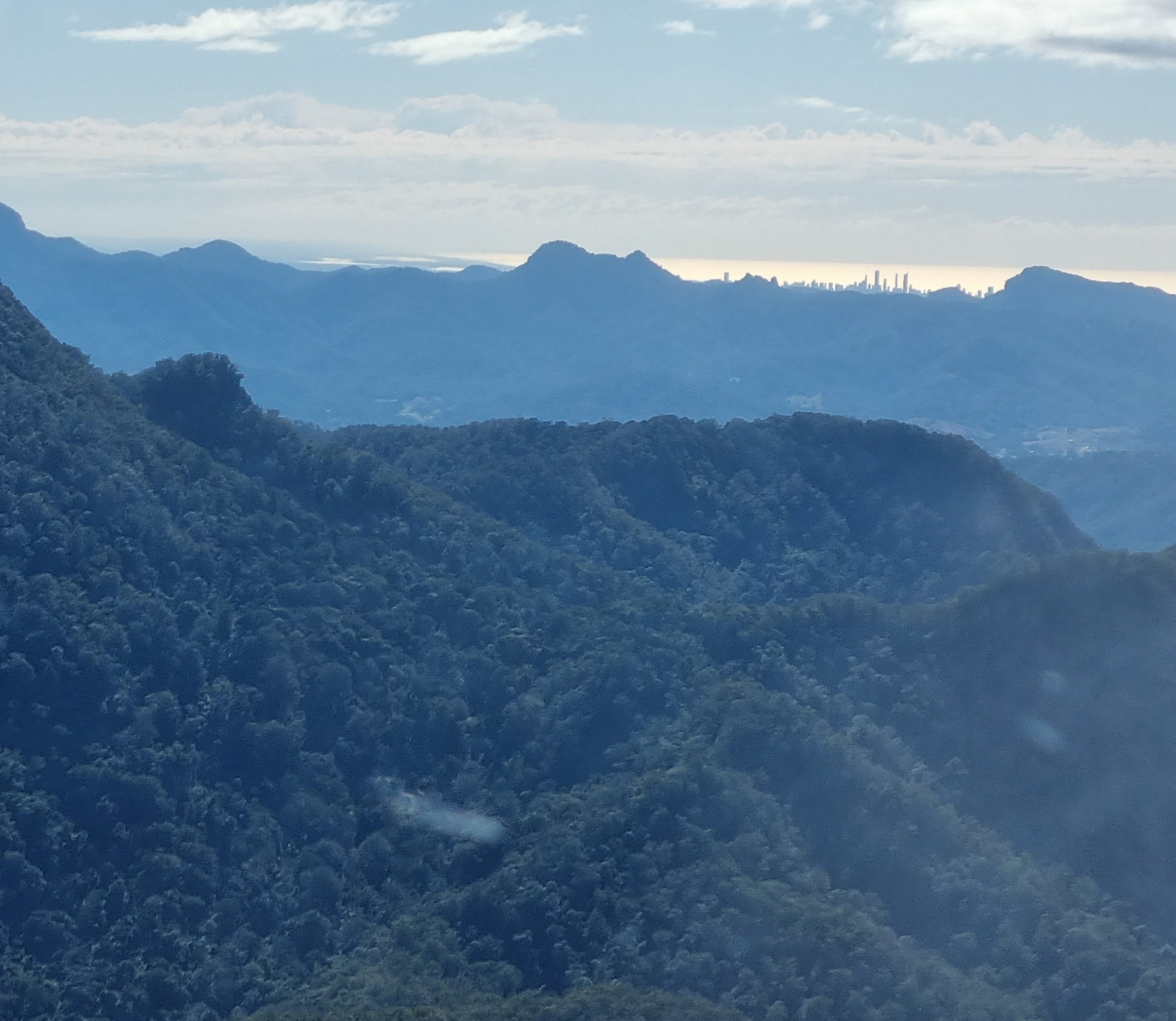
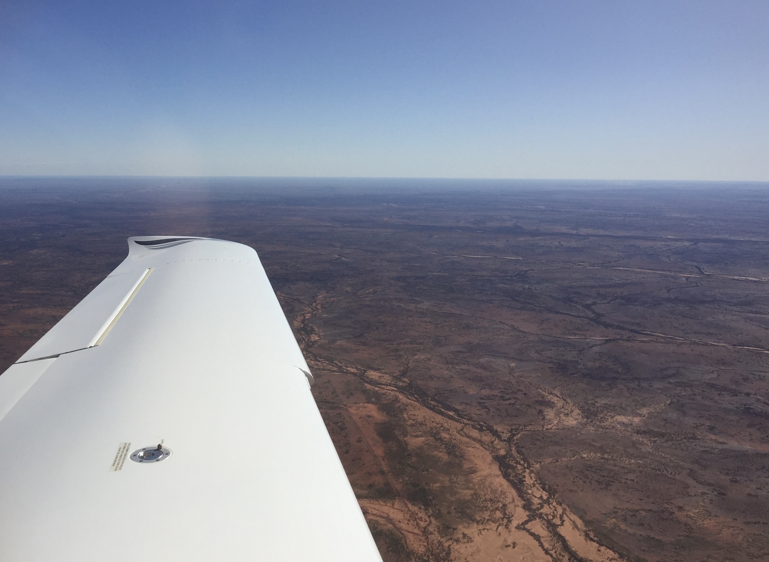
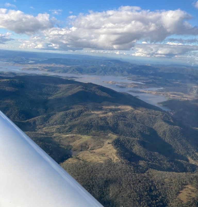
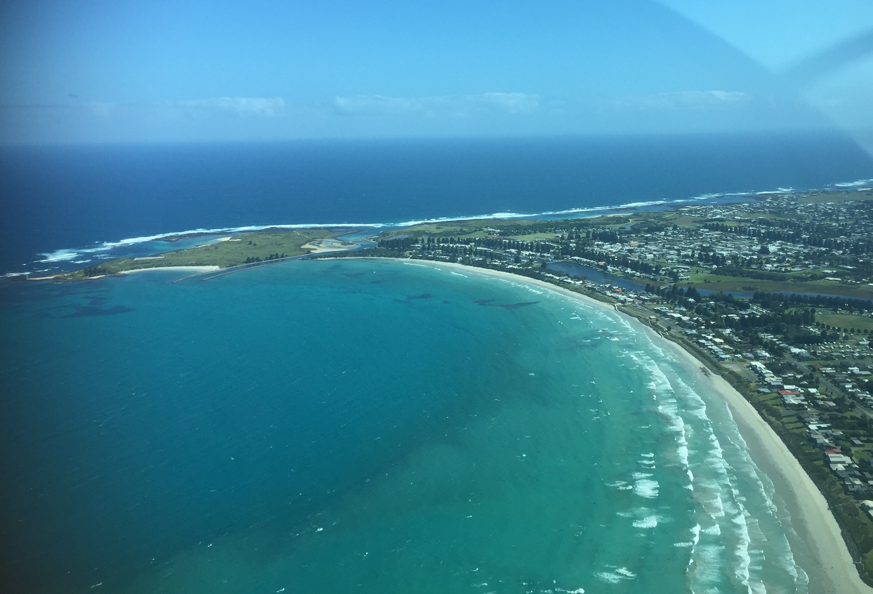
As we flew towards Archerfield the cloud cleared and we had a great view of the lights of Brisbane in the distance. Brisbane Centre transferred us to Amberley Approach who gave us traffic for the RNP approach into Archerfield via waypoint Whiskey Delta.
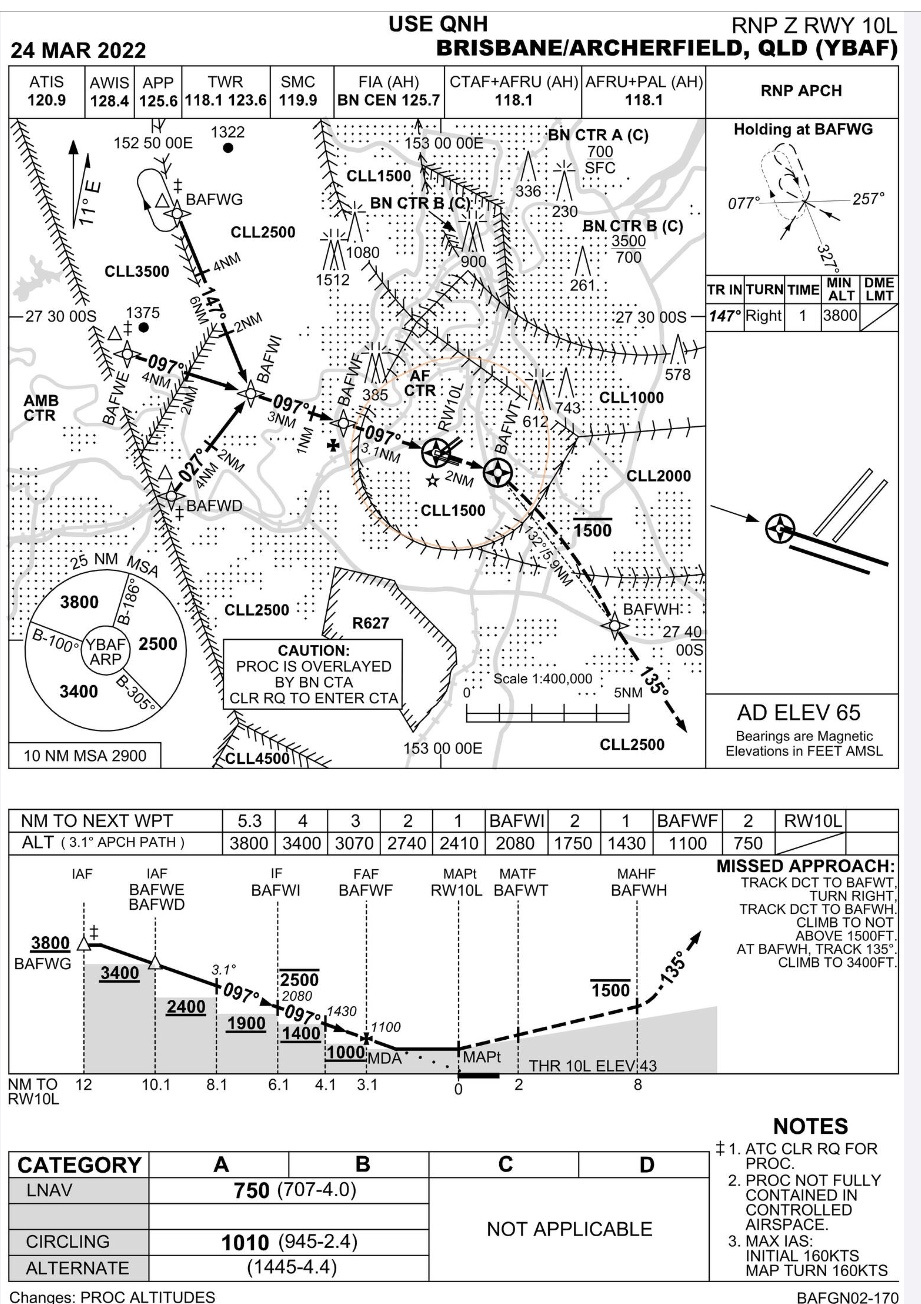
This approach has a complication in that there are not only minimum altitudes as you descend but also at waypoint Whiskey India you have a maximum altitude of 2500ft. This limitation is to ensure separation from aircraft above you that may be descending into Brisbane Airport. So it’s important to fly the glide path fairly accurately. This time Alyce explained how to use the power of the Perspective Plus to do a fully automated descent profile. The aircraft descended at the correct rate and at WI turned us automatically about 80 degrees to the right onto the final approach path into RWY10L at Archerfield and the runway lights came into view.
It was not over yet though. The tower at Archerfield was closed as it was after hours. This meant it was an uncontrolled aerodrome so I announced our position on the CTAF frequency when we were about 10 miles out. Switching to the AWIS frequency we noted the strong westerly blowing still, confirming I’d need to do a circling approach and land from the east. So on reaching the circling Minimum Descent Altitude added some power to stop losing height and tracked over to left downwind for RWY 28R, turned onto base, then final and completed my last landing for the night.
We taxied to the hangar and put VPZ away for the night. One flight completed successfully. One more to go.
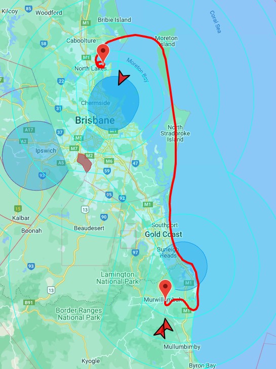
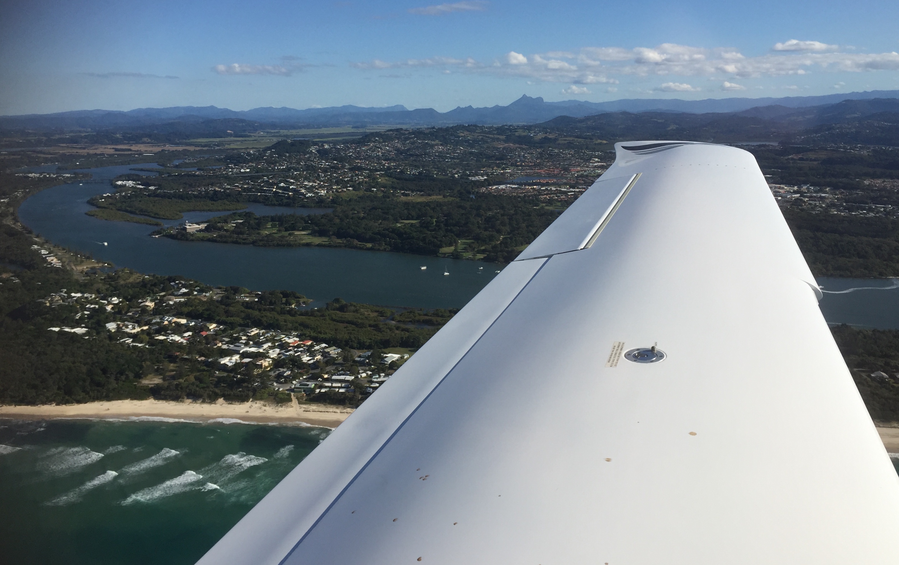
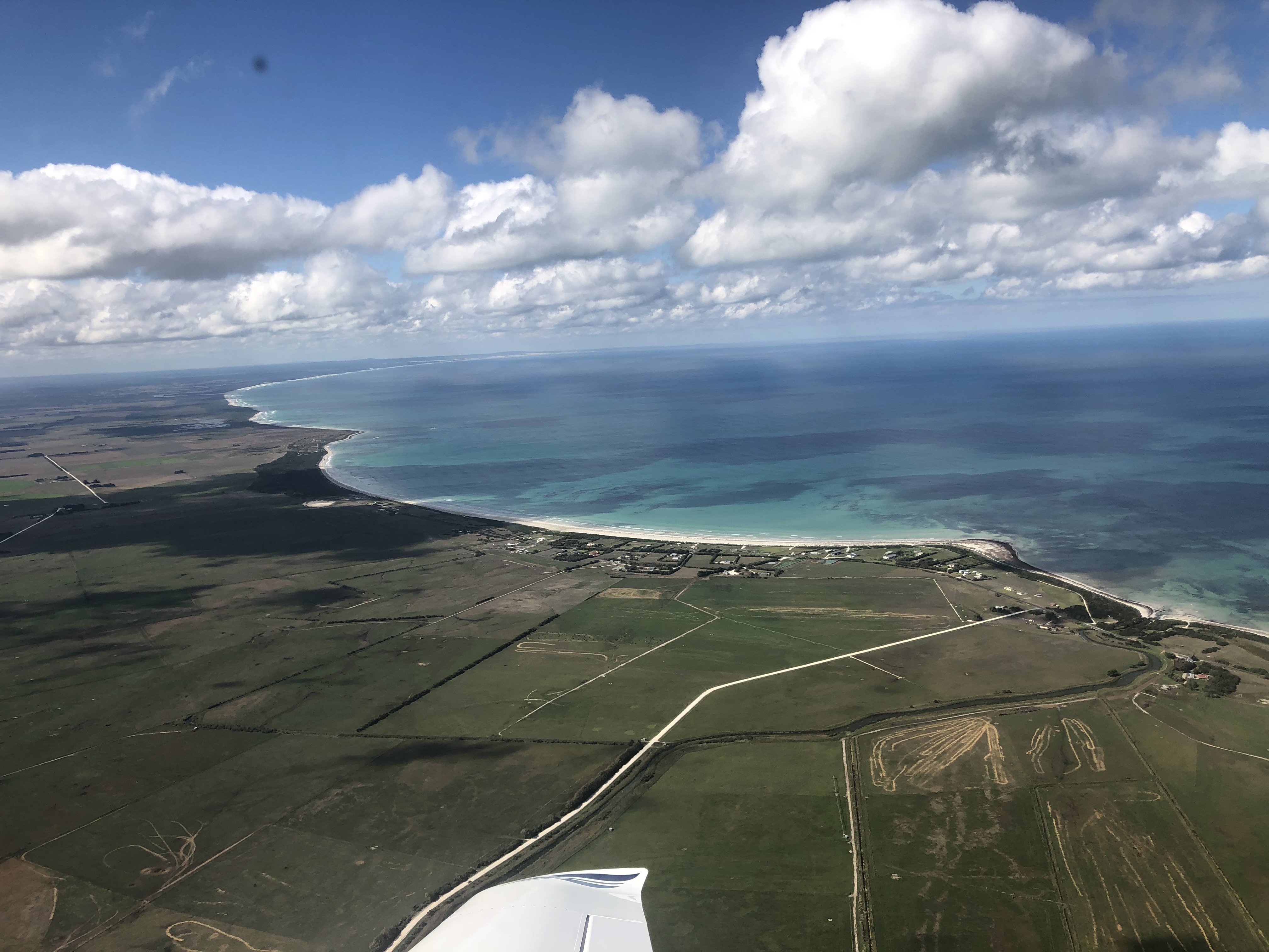
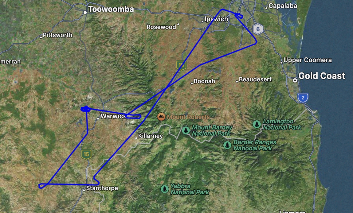
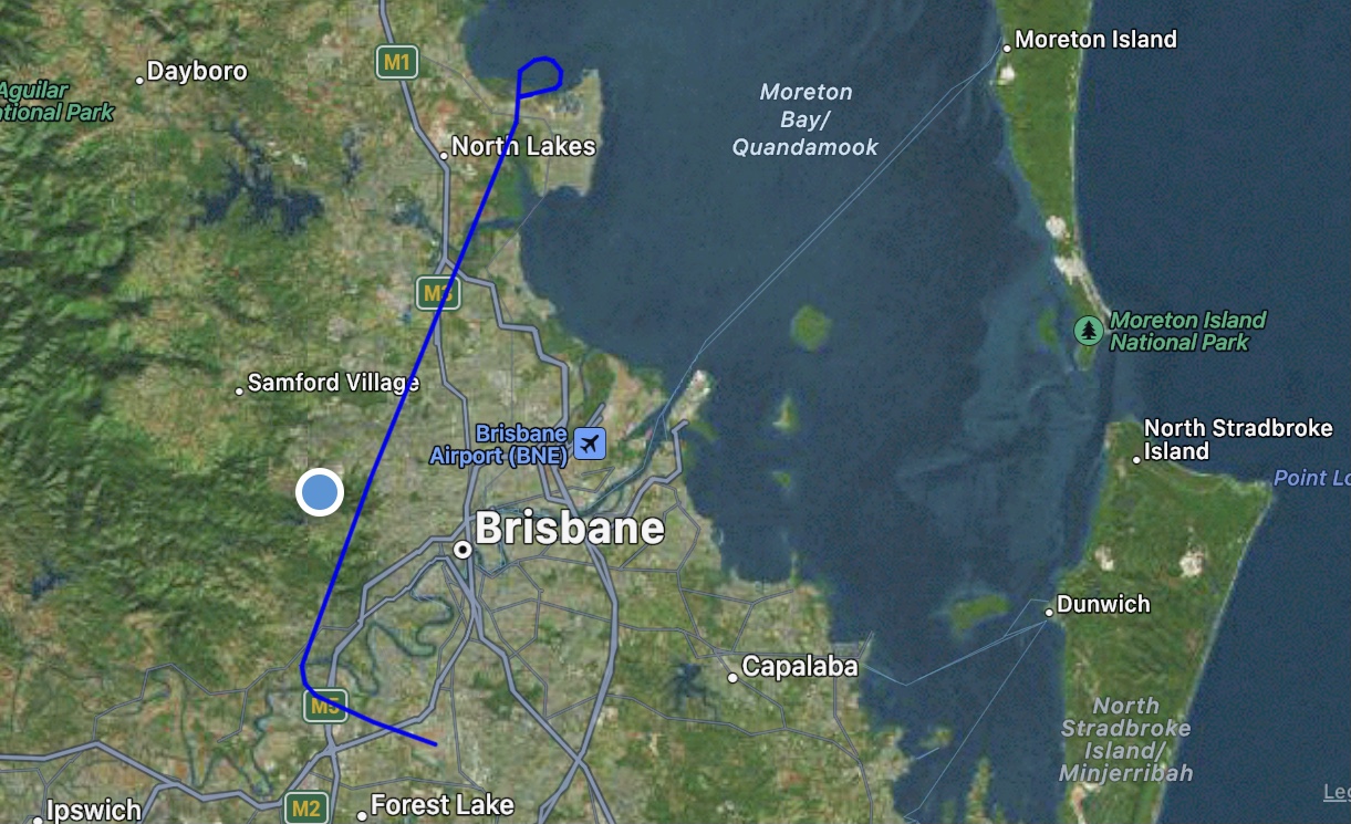
On Wednesday 13th July I was ready for my second flight with Alyce to complete my BFR. This time it would be a day flight so we could undertake some basic flight skill checks and a Standard Instrument Departure (SID). For this flight I planned to fly IFR out of Archerfield via the SID, then fly direct via the controlled airspace over Brisbane to Redcliffe. I’d do a full stop landing and switch to VFR, then conduct a few circuits at Redcliffe, then fly to Bribie Island for some air work, and finally return to Archerfield.

I arrived at the Team Aviation office in Rocklea at 8am and spent about one hour answering a barrage of questions about the privileges and restrictions on my private IFR rating. The theory is another part of the BFR process. Having successfully answered the questions with a few additional hints from Alyce we headed over to the airport, a five minute drive away. VPZ was already out in the front of the hangar ready to go. The flight plan was submitted and I completed the preflight.

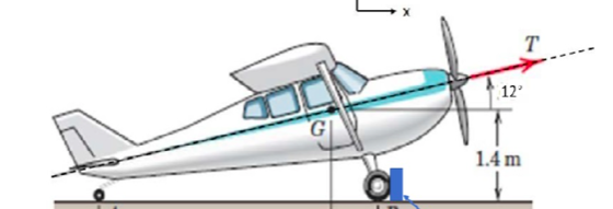
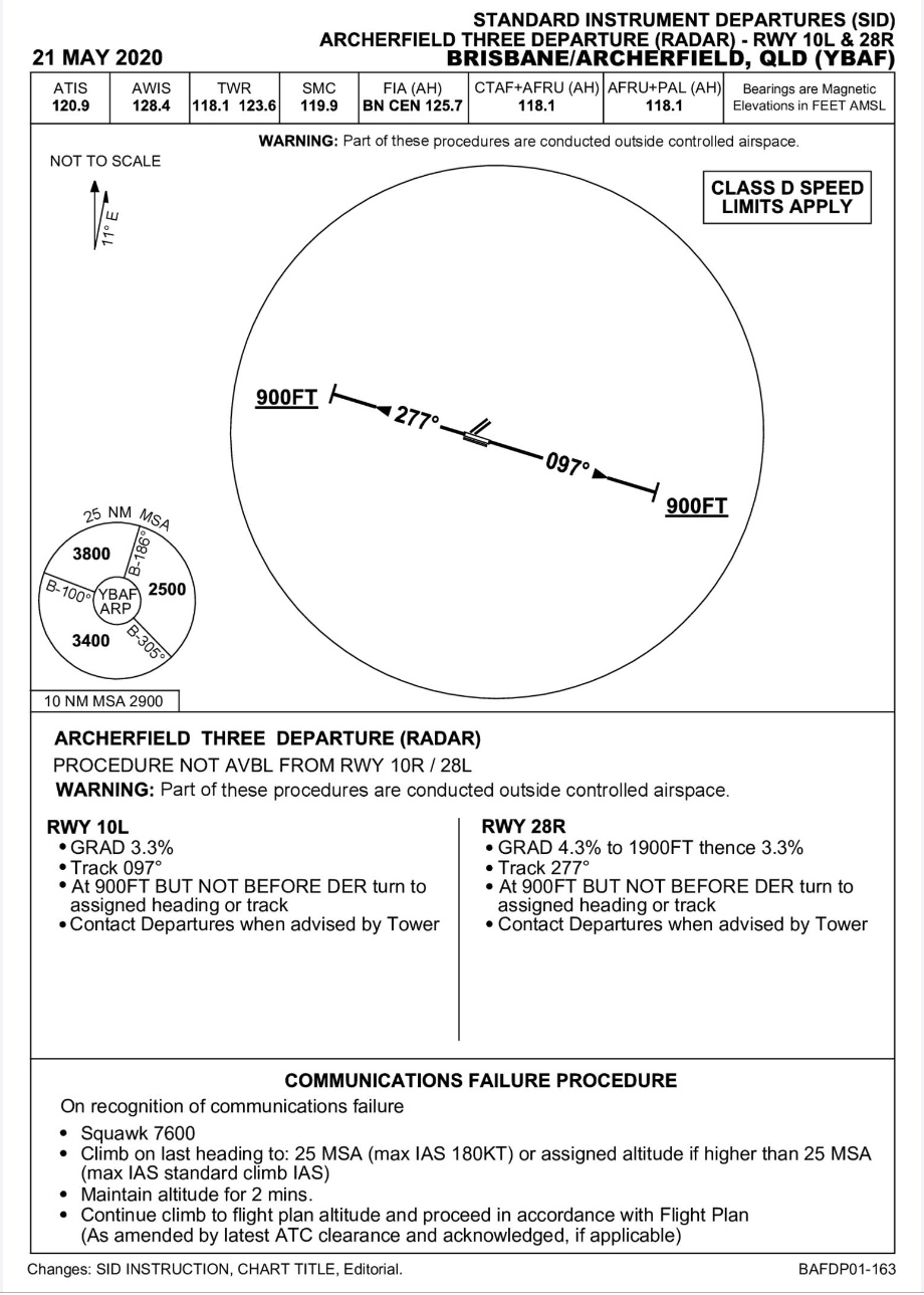
After obtaining a transponder code from Brisbane Centre and a clearance to taxi from Archer Ground we headed for the runway. It was another strong westerly so once again we were directed to the holding point for RWY28R. Archerfield Tower asked us to hold until advised otherwise. This time it was about a 5 minute wait as various other aircraft arrived and departed. At times we couldn’t see any other aircraft in the circuit so I can only presume that there was traffic overhead flying into or out of Brisbane Airport that we had to be separated from. Finally our turn came to line up. We obtained our clearance to take off on and climb to 4000ft on the SID. This SID is called Archer Three Departure (Radar). It requires the pilot to take off and maintain a minimum climb gradient of 4.3% to 1900ft and then 3.3% while tracking 277 degrees until you are at least 900ft AMSL and past the departure end of the runway. These minima ensure that you clear the “obstacles” on Mount Coot-the (TV towers) before turning. Although it was a clear blue sky that day, I could have taken off into cloud with a 300 foot minimum ceiling and if I followed the instructions on the SID chart I’d remain clear of obstacles. The required gradient is equivalent to about 400ft/min at 100knots and the Cirrus can climb at 1000ft/min so there’s no difficulty achieving those minima.
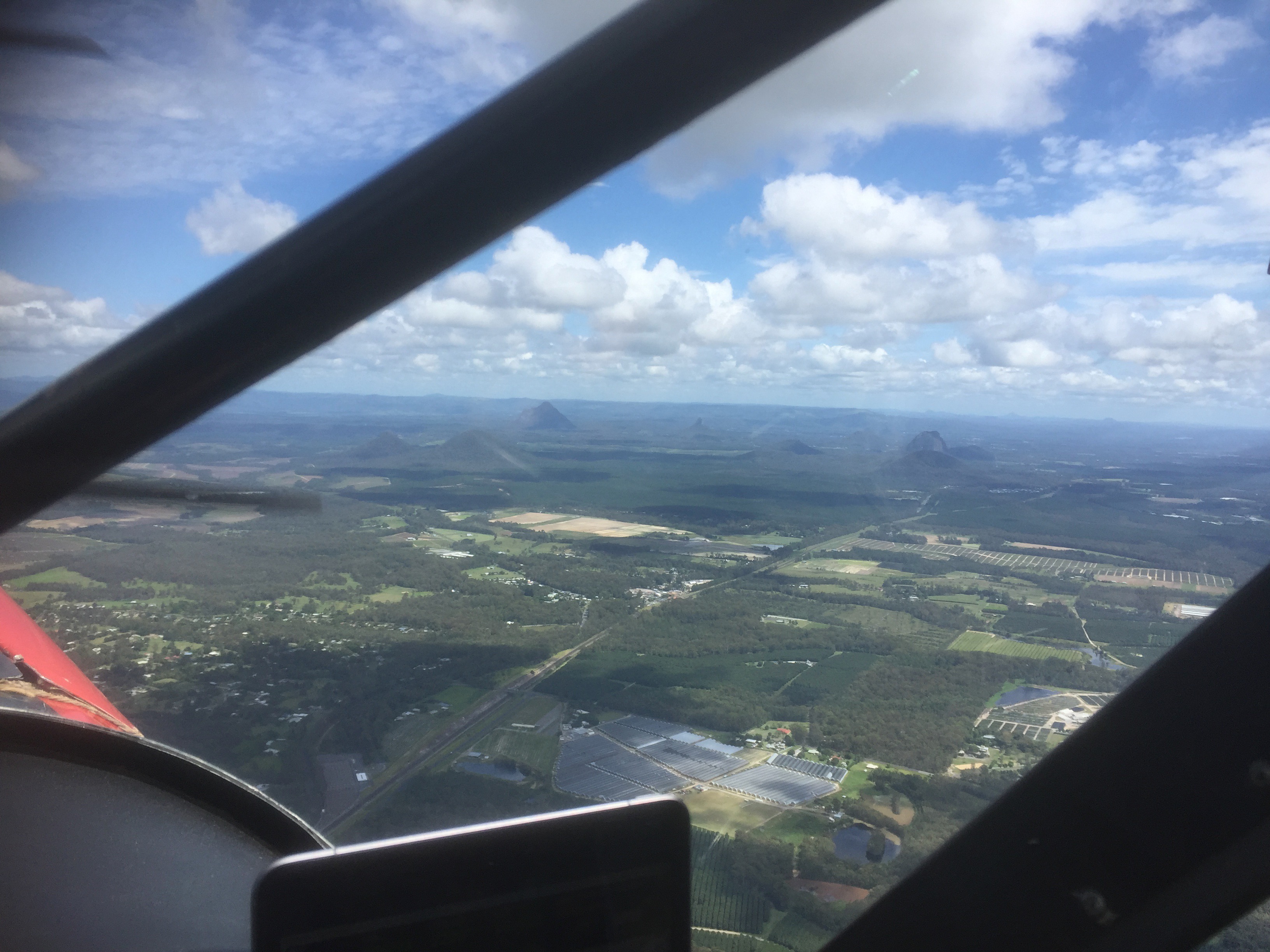
As we climbed Tower transferred us to Brisbane Departures who “vectored” us onto the track to Redcliffe (telling me to turn onto a particular heading) and cleared us to 6000ft for the short flight.
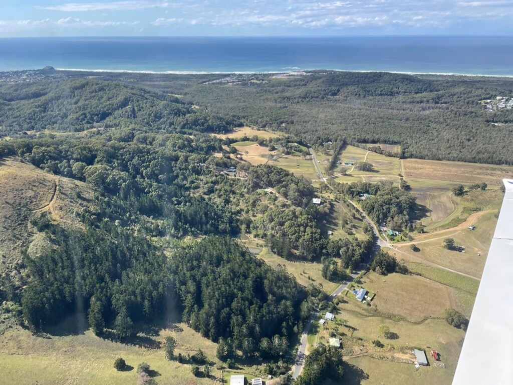
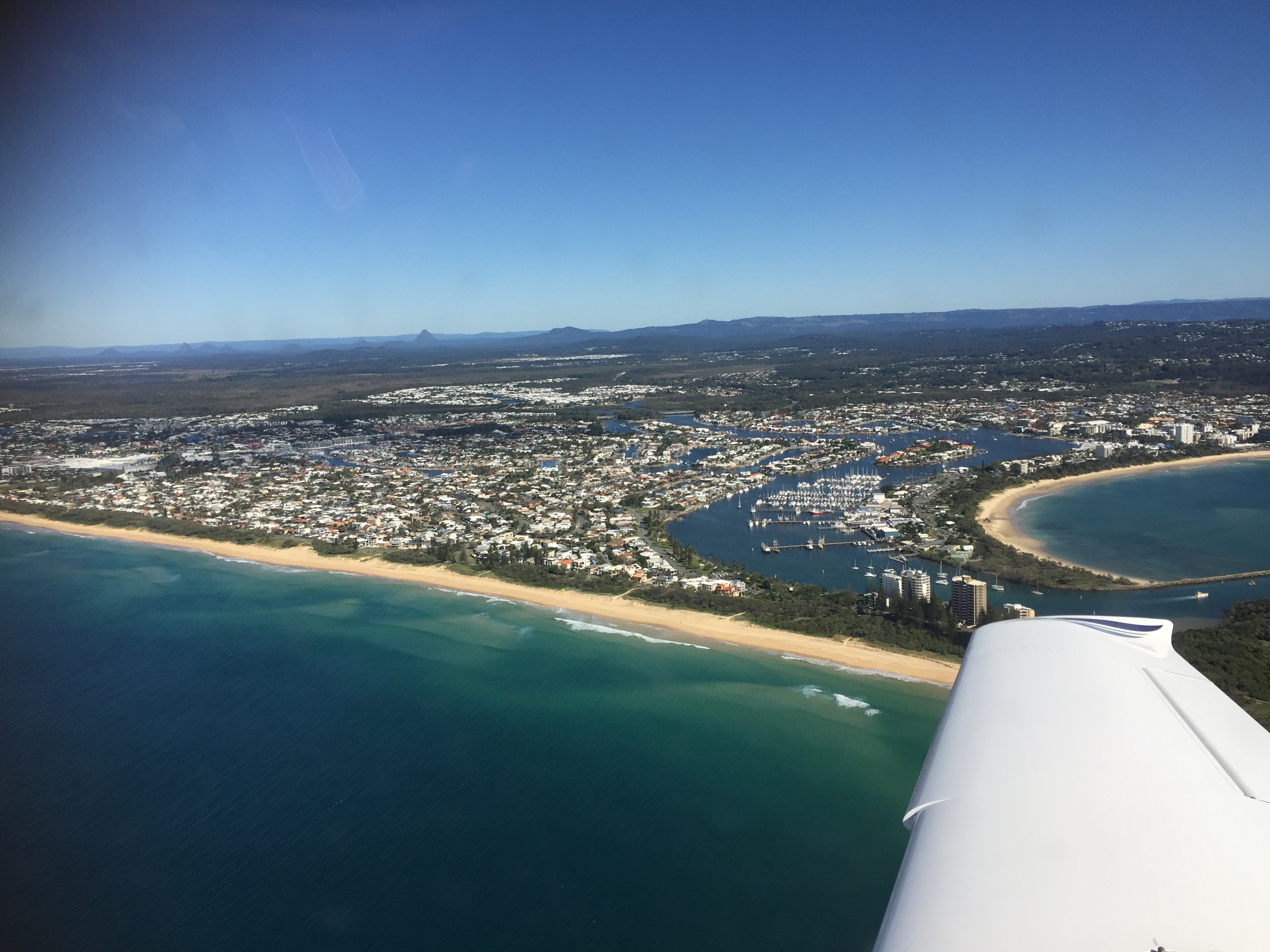
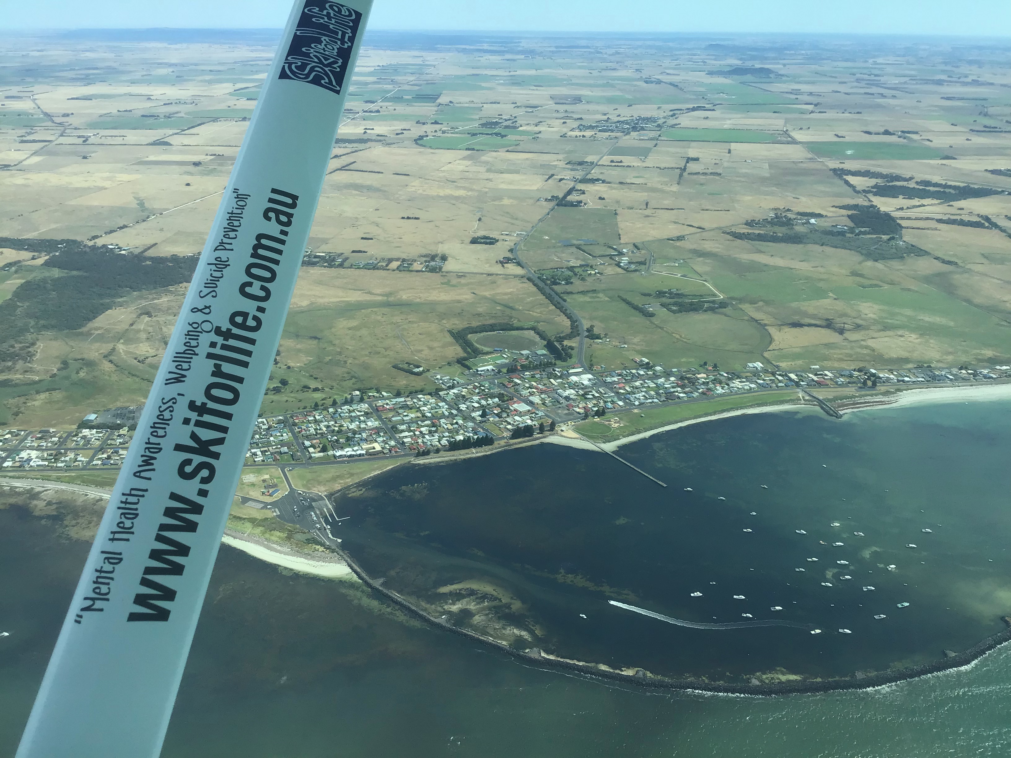
We had a great view of the city as we flew straight towards Redcliffe and soon we were at our top of descent where ATC stepped us down out of the controlled airspace. We descended quickly so that we could join the circuit. It was clear that a strong westerly was blowing at Redcliffe so we joined via a mid field crosswind for RWY25.
We landed and taxied off the runway, and I cancelled my SARWATCH, ending the IFR segment of the flight. Taxiing over to the holding point for RWY25 Alyce suggested we do a couple of glide approaches. This would involve cutting off the power while on downwind in the circuit then trimming the plane for the best glide speed (92knots) and judging how to land without further use of power. Even though the Cirrus has a parachute you still need to know how to glide the aircraft, especially if for some reason the parachute failed to deploy in an emergency.
Taking off and turning onto downwind we noticed how the wind was pushing us away from the runway. My first attempt to glide in was thwarted by another aircraft in the circuit ahead of us, meaning that we couldn’t safely conduct the glide while maintaining sufficient separation. I did a go around and set myself up on downwind again. The next attempt I misjudged the strength of the wind and had left myself a bit short of the threshold so when we were about 300 ft I applied power and went around for a third attempt. This time was better and I managed to land the plane on the runway successfully. Tick! Then it was off to Bribie Island for the air work.
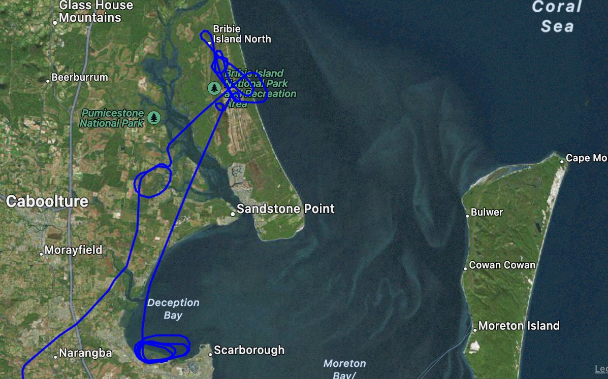
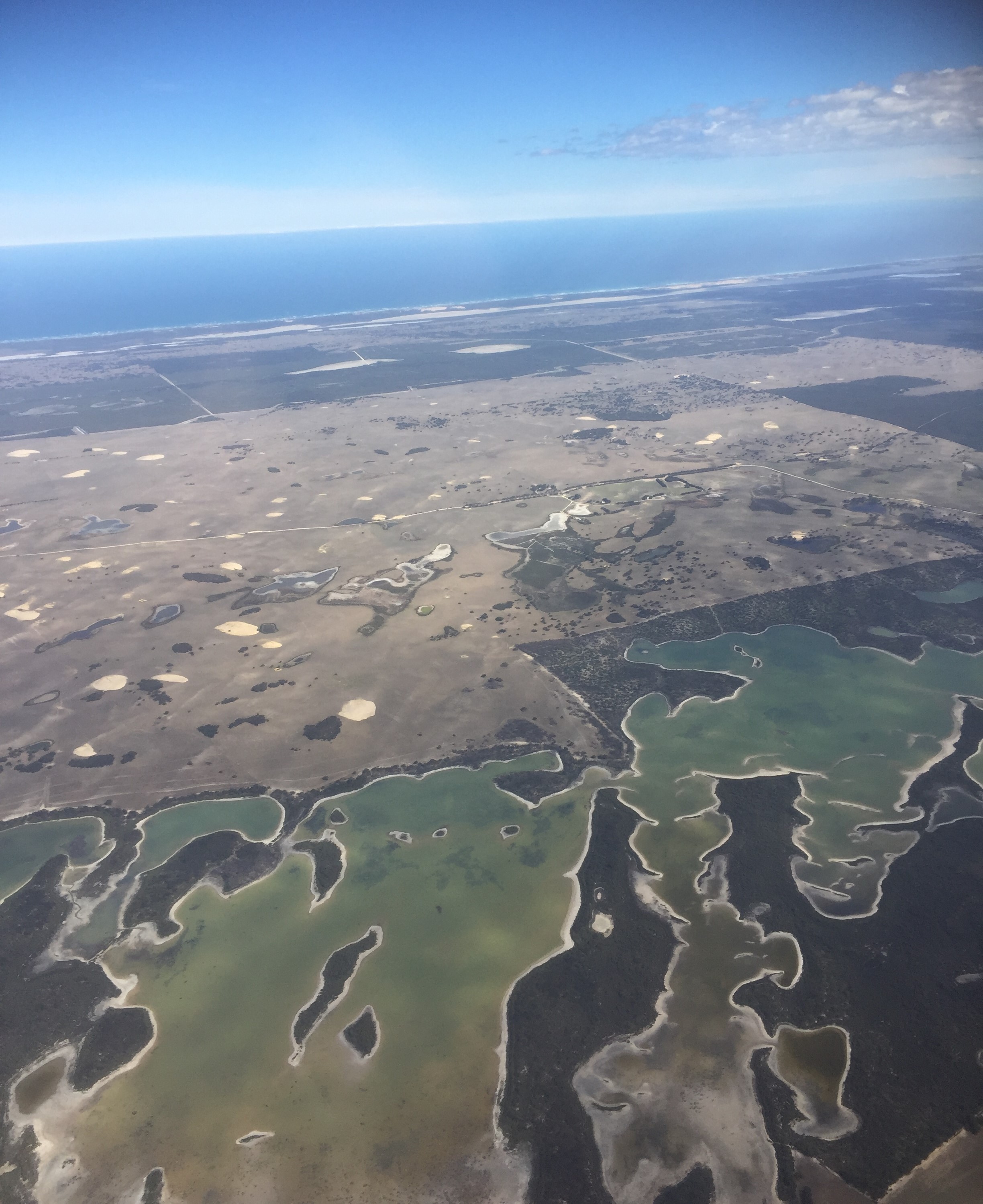
I climbed to 3000ft over Bribie Island and announced on the CTAF frequency that we’d be conducting air work over Bribie for the next 20 minutes. First I did a few steep turns at 60 degrees left and right. The Perspective Plus system has an automated straight and level feature that tries to level the wings if you bank more than 30 degrees. I had to overcome this by holding the red “autopilot disengage” button while turning. Alyce then demonstrated the “blue button”. This Cirrus feature allows you to automatically return the plane to straight and level flight if you inadvertently enter an unusual and unwanted attitude. I went into a spiral dive, pressed the blue button and the autopilot returned the plane to straight and level. Impressive.
Then it was time to practise some stalls. First with no flaps and then with full flaps. There was a bit of buffet and a very slight wing drop but I was able to hold the wings level with rudder while the plane descended in the stalled condition.
Next we headed to a nearby airstrip where I practised a couple of FLWOP (forced landing without power) from 2500ft. The first one I was a bit short (that westerly wind again) but the second one would have worked. I applied power at 500ft and we headed for the TV Towers at Mt Coot tha. On the way Alyce asked me to put on “the hood” so I could fly under “simulated IMC” conditions while she gave me various instructions to keep us out of controlled airspace. I also had to do some recoveries from unusual attitudes. This exercise involved closing my eyes while she set the plane up in either a turning climb or descent and when I opened my eyes I had to use the instruments to return quickly to a wings level attitude.
Discarding the hood as we approached the TV Towers I called up the ATIS and then advised Archer Tower that we were incoming for a full stop. They acknowledged my call and at Centenary Bridge I reported our position. I was to remain at 1500ft and join right downwind for RWY28R. There was another plane ahead of us so once we’d advised that we had it in sight the controller cleared us to descend to 1000 ft for a visual approach. This landing I’d be practising a flapless one, which meant it would be a bit faster (90 knots) and flatter approach. We turned onto final at 500ft and flew to the threshold. Alyce reminded me to hold off and be patient, waiting for the plane to touch down when it was ready. And so we touched down ever so lightly, completing the last task of the BFR successfully.
We taxied back to the hangar and Alyce filled out the necessary paperwork to prove that I’d passed all the requirements of the BFR successfully. I was ok to fly for another 24 months.